Fort Collins, Colorado
Top Spots in and near Fort Collins
-
Ward, Colorado
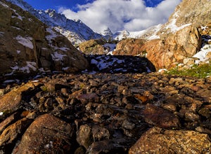
Isabelle Glacier
5.08.62 mi / 1578 ft gainGetting There The trailhead can be reached from Boulder by driving west through Boulder Canyon on Highway 42 to Nederland, then going north on the Peak-to-Peak Highway 72 to the town of Ward. From there, a National Forest Sign on the west side of the highway provides directions to the ranger stat...Read more -
Grand Lake, Colorado
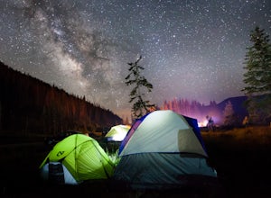
Car Camp at Timber Creek Campground
3.0This campground just 10 miles north of Grand Lake is a prime example of the amazing campgrounds you can find in Rocky Mountain National Park. Located along the Colorado River, Timber Creek has 98 campsites that are all first-come-first-serve. If you're on top of it and show up at a decent time, y...Read more -
Cheyenne, Wyoming
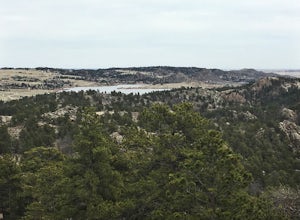
Hidden Falls Loop
5.04.32 mi / 469 ft gainDirections: From Laramie, take I-80 east to exit 323 and continue on HWY 210 east for approximately 15 miles. From there the entrance to Curt Gowdy State Park will be clearly marked on the right side of the road. Then drive south for 1.4 miles until you reach a large parking area on the right sid...Read more -
Walden, Colorado
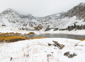
Hike to American Lakes
5.011 mi / 1680 ft gainAmerican Lakes are two high alpine lakes located within State Forest State Park and the Never Summer Mountain Range. The park is located about 75 miles west of Fort Collins, Colo. along Highway 14 on the west side of Cameron Pass.Coming down from Cameron Pass, look for a sign for the American Lak...Read more -
Cheyenne, Wyoming
Lakeside Camping and Mountain Biking
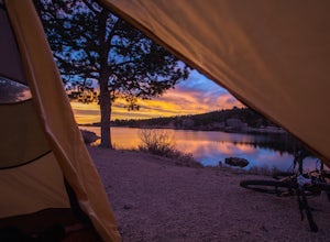
4.0This trail system is somewhat of a hidden gem to mountain bikers south of the Wyoming border. Those who know their way around the best trail systems, though, hail Curt Gowdy as one of the best. If you've got some energy to burn, try the IMBA Epic suggested route, which loops together the 20 miles...Read more -
Walden, Colorado
Cross-Country Ski to American Lakes
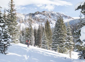
4.012 mi / 800 ft gainWARNING! AVALANCHE DANGER!Make sure you have avalanche safety knowledge and equipment. This route enters avalanche terrain.If you are looking for one of the ultimate cross-country ski treks along the northern Front Range, look no further. This trip takes you to the American Lakes at the base of t...Read more -
Walden, Colorado
View Fall Color on Cameron Pass
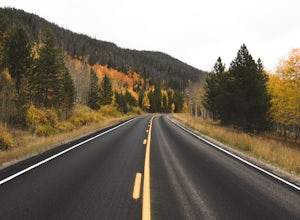
From the front range, drive west of Fort Collins, Colo. on Highway 14 towards Walden, Colo. When you enter Highway 14 from Fort Collins, look for Ted's Place. Ted's is a gas station and convenient store, stop here to hit the bathroom, fill up on gas, and grab some snacks. There will be very few f...Read more -
Walden, Colorado
Backcountry Ski or Snowboard at Cameron Pass
To get to Cameron Pass, drive west out of Fort Collins from Highway 287, to Highway 14, into Poudre Canyon. Take the drive all the way through Poudre Canyon, and soon you will climb out of the canyon and towards the continental divide at Cameron Pass. Once you see the sign at the top of the pass ...Read more -
Walden, Colorado
Snowshoeing at Blue Lake near Cameron Pass
10 mi / 1500 ft gainWhile the trail does have quite a bit of elevation gain you don't really feel it since it is dispersed among five miles of trail. The first part of the trail is a wider road with a few look out points of nearby Chambers Lake. About two miles in you reach the end of the National Forest area. From ...Read more -
Boulder, Colorado
Hike South Boulder Peak
4.56.7 mi / 2900 ft gainStarting at the Mesa trailhead, continue a half a mile through a relatively even grade before arriving at the North Fork Shanahan trailhead, which will take you another half a mile on much steeper grade up to Fern Canyon where you will start a much harder portion of the hike; here, you'll head st...Read more -
Boulder, Colorado
Hike the Big Bluestem Trail Loop
4.04.35 mi / 841 ft gainThis is a great spot for an easy/moderate hike or trail run. The trail is accessible year round and can often be hiked in winter as well as other seasons. You start out at the Mesa Trailhead parking lot off of Hwy 170. There is a parking lot here but this is a starting spot for several hikes into...Read more -
Boulder, Colorado
Hike Bear Peak
4.87 mi / 2810 ft gainThe best advice I can give you? Wake up early to start this hike.Even though the Bear Peak hike will only take you about 4-5 hours round trip, it will still be advantageous to get off the mountain before afternoon and evening storms might pass through. This is a steep 7-mile out and back trail.St...Read more -
Boulder, Colorado
Doudy Draw Trail
4.37 mi / 433 ft gainDoudy Draw Trail is an out-and-back trail where you may see beautiful wildflowers located near Boulder, Colorado.Read more -
Cheyenne, Wyoming
Hike to the Chameleon
4.5 miCurt Gowdy State Park, one of the few southeast Wyoming hot spots, has a couple of hidden gems. One of the best is the “Chameleon,” ruler of Curt Gowdy State Park. To reach the Chameleon, head out on Crow Creek Trail, then loop back on Mo’ Rocka Trail. The trailhead is near the entrance of Curt G...Read more -
Kremmling, Colorado
Hike to Lake Agnes
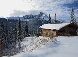
3.01.6 miIn State Forest State Park, you start at Agnes Cabin, a historic cabin built in 1925. Because of its rustic architecture, it is listed on the National Register of Historic Places by the United States Department of the Interior. It is a one-story, lodge pole pine log cabin. The cabin is empty, bu...Read more -
Boulder, Colorado
Hike or Bike the Walker Ranch Loop
4.77.7 mi / 1740 ft gainWhen it comes to hiking trails in Boulder, the standard response usually consists of either Chautauqua Park or Mt. Sanitas, and while both offer excellent hiking options, they are both usually jam packed on the weekends. If you’re looking to stay close to the city, but want a little more seclusio...Read more

