Estes Park, Colorado
Top Spots in and near Estes Park
-
Fort Collins, Colorado
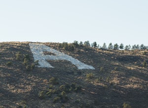
"The A" via the Foothills Trail
5.04.14 mi / 531 ft gainWhy is there an A on the side of the mountain? The "A" stands for Aggies. When Colorado State University was first founded in 1870, it was originally called Colorado Agricultural College. The mascot at the time was The Aggies. Though the college has now become Colorado State and its mascot, The...Read more -
Longmont, Colorado
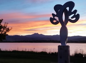
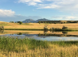
McIntosh Lake Loop
4.53.6 mi / 72 ft gainMcIntosh Lake is in northwest Longmont. The 3.6-mile loop extends all the way around the lake, with the first half being on a paved cement trail with neighborhood playgrounds, basketball, volleyball, and a seasonally open restroom. The trail turns to dirt on the western half of the loop, and here...Read more -
Bellvue, Colorado
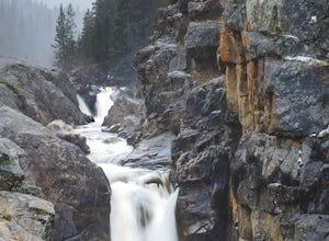
Photograph Poudre Falls
To get to Poudre Falls, simply drive up Poudre Canyon on Highway 14, just north-west of Fort Collins. The drive all of the way up to the falls is a little bit of a jaunt and will take about an hour or so. There are plenty of cool things to see on the way, so have the camera in the passenger seat...Read more -
Fort Collins, Colorado
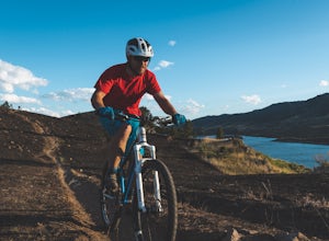
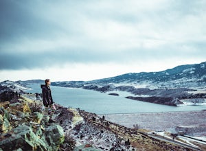
Mountain Bike Reservoir Ridge
2.3 mi / 216 ft gainSummary One of my favorite post-work rides in Fort Collins, Colorado is a short but challenging loop along Reservoir Ridge. The scenery is incredible and includes water, mountains, a great trail system, and a spattering of intermediate, rocky sections. This is a solid loop to get your heart rate ...Read more -
Grand Lake, Colorado
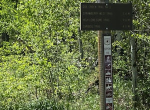
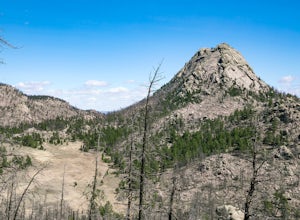
Doe Creek Trail
7.13 mi / 1617 ft gainDoe Creek Trail is a loop trail that takes you by a lake located near Granby, Colorado.Read more -
Bellvue, Colorado
Trail Run the Hewlett Gulch Trail
5.08.5 mi / 800 ft gainHewlett Gulch Trailhead is located about 20 minutes from Fort Collins and offers easy hiking in the Poudre Canyon.From Fort Collins, take 287 to Ted's Place. Take a left onto CO 14 and follow 14 through the canyon just past Poudre Park where you see the trailhead sign. Turn left onto the road tha...Read more -
Boulder, Colorado
Hogback Ridge Trail
2.85 mi / 830 ft gainHogback Ridge Trail is a loop trail where you may see beautiful wildflowers located near Manitou Springs, Colorado.Read more -
Boulder, Colorado
Catch the Sunrise on Sugarloaf
4.51 mi / 400 ft gainTo get there from downtown Boulder, head west on CO 119 and almost 4.5 miles after you have left Boulder, turn right onto Sugarloaf Road. 4 miles after the turn from CO 119, turn right onto Sugarloaf Mountain road (located at the top of the road). If the road starts descending, you've gone too fa...Read more -
Boulder, Colorado
Foothills Trail to Wonderland Lake Loop Trail
2.93 mi / 223 ft gainFoothills Trail to Wonderland Lake Loop Trail is a loop trail that takes you by a lake located near Boulder, Colorado.Read more -
Bellvue, Colorado
Climb Greyrock Mountain
5.07.1 mi / 3000 ft gainThe main trail begins at the Cache La Poudre river on the Poudre Canyon Highway about 30 minutes from Fort Collins. After about .75 miles the trail splits. To go left on Greyrock Meadows trail adds 2 miles to your trip and provides excellent views of Greyrock Mountain and Meadows from the south, ...Read more -
Granby, Colorado
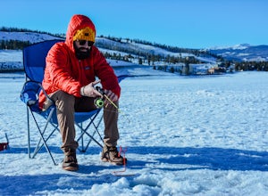
Ice Fish on Lake Granby
Looking to catch some fresh trout? This might be the place to get it! If it's your first time fishing Lake Granby, here's some pointers:Those of you coming from Denver, take US 40W past Winter Park, Fraser and Tabernash until you hit Granby. After you pass through the town of Granby, turn right o...Read more -
Fort Collins, Colorado
Catch a Sunset at Bingham Hill Park
Bingham Hill Park sits on the northern terminus of the main hogsback/ridgeline that makes up the eastern wall of the Horsetooth Reservoir, just off the eponymously named Bingham Hill Road and minutes from downtown Fort Collins.From the top you look out over the Front Range, The Poudre River, Arth...Read more -
Boulder, Colorado
Hike the Eagle Sage Loop
4.33.75 mi / 205 ft gainThis is a great trail if you are in the Boulder area and want something fairly easy or quick. This 3.75 loop can be hiked in about an hour and a half since it is fairly flat. The elevation gain is minimal. You start out at the Eagle Trailhead located west of the Boulder Reservoir.Start out at the...Read more -
Fort Collins, Colorado
Hike the North Loop via Foothills Trail
5.06.5 mi / 700 ft gainDespite its singular name, the Foothills Trail in Fort Collins is an interconnected series of trails that follows the ridges and hogsbacks which comprise the majority of the eastern side of the Horsetooth Reservoir. The trail can be accessed at several points along its length (by trails also call...Read more -
Fort Collins, Colorado
Fat Tire Bike the Foothills Trail
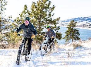
5.08.5 mi / 1000 ft gainThe Reservoir Ridge and Foothills trail system around Horsetooth Reservoir and Fort Collins is excellent for mountain biking, trail running, and hiking. During the winter it is particularly great for fat tire mountain biking, and the Foothills Trail is one of the best. The trail itself is roughly...Read more -
Boulder, Colorado
Wonderland Lake Trail
5.01.85 mi / 98 ft gainWonderland Lake Trail is a loop trail that takes you by a lake located near Boulder, Colorado.Read more

