United States
Looking for the best chillin in United States? We've got you covered with the top trails, trips, hiking, backpacking, camping and more around United States. The detailed guides, photos, and reviews are all submitted by the Outbound community.
Top Chillin Spots in and near United States
-
Orderville, Utah
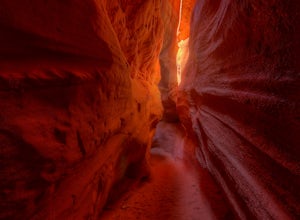
Kanab's Peek-a-Boo Canyon
4.87.71 mi / 587 ft gainThe trailhead is Red Canyon (aka Peek-a-boo) trailhead located just off of Highway 89 between Kanab and Mt. Carmel Junction. The GPX track shows the entirety of the trail, but if you have 4WD and a high-clearance vehicle, you're able to reach the closer parking area for a less than 1-mile roundtr...Read more -
Jamestown, Rhode Island
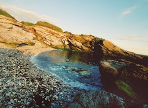
Explore Beavertail State Park
5.0Rhode Island isn't exactly on everyone's map, I've even met strangers in other parts of the U.S. who have no idea where the tiniest state in the country is. It's usually lumped in with Connecticut and Massachusetts, but for us locals from little Rhody, Rhode Island is it's own world of adventure ...Read more -
Salt Lake City, Utah
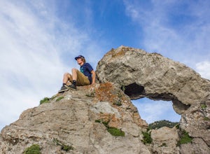
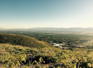
Hike Neff's Canyon
4.3From the parking lot, you will follow a 4-wheel drive track that runs straight up to the beginning of the different trailheads. You can also take an actual trail up to that same spot, situated below the 4-wheel gravel track on the righthand side.There are a few different trails that merge togethe...Read more -
Silverton, Oregon
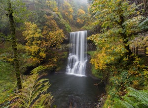
Camp in Silver Falls State Park
4.68.7 mi / 1300 ft gainIf you're thinking of hiking the Trail of Ten Falls Loop and staying overnight, there are 42 tent campsites (available from April – Oct) as well as 14 rustic cabins. With multiple beds, heat, electricity, a covered porch, and a small fridge, they provide the perfect respite after a long day of ex...Read more -
Salt Lake City, Utah
Hike the Living Room
4.42.5 mi / 1000 ft gainBecause if its proximity to downtown Salt Lake, this is a great quick hike to do after work. Although it's short, it is fairly steep, climbing nearly 1000 feet in 1.25 miles. However, most people can do it without too much difficulty. This is a good family hike and allows dogs on leashes. Due to ...Read more -
Lookout Mountain, Georgia
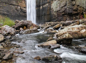
Explore Lula Lake Land Trust
3.53.4 mi / 459 ft gainLula Lake Land Trust may only be accessible on the first and last Saturday of every month, but a visit to this North Georgia park is well worth planning for. It offers a small, but beautiful lake, a large waterfall, and over 6 miles of trails for hiking or biking. The 1-mile level gravel road fro...Read more -
Carbondale, Colorado
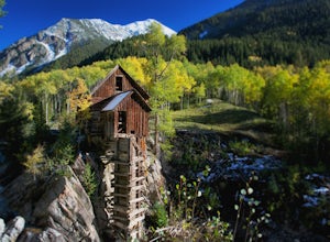
Hike by Lizard Lake to Crystal Mill
5.010 miAlthough the iconic Crystal Mill is the main attraction on this hike, the river that leads you there through the magnificent mountains of the White River National Forest is nothing short of extraordinary.Getting ThereThe hike is located in the small town of Marble, about 40 minutes east of Carbon...Read more -
Ilwaco, Washington
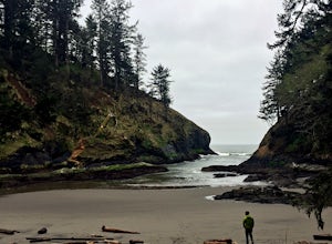
Fort Canby and Cape Disappointment Lighthouse
5.01.5 mi / 500 ft gainCape Disappointment State Park is nearly 2,000 acres of old growth temperate forest located at the mouth of the Columbia River that contains lakes, coves, two lighthouses, and military forts. One of the forts and lighthouses is Fort Canby and Cape Disappointment lighthouse, which date back to the...Read more -
Granby, Connecticut
Hiking Enders Falls
4.0Enders State Forest sprawls over approximately 2000 acres, and is found within the towns of Granby and Barkhamsted in Connecticut. Enders has a good sized parking lot directly on Route 219. From the junction of Route 219 and Route 20, visitors will proceed west on Route 219 for 1.2 miles and tu...Read more -
Santa Barbara, California
Hike to Knapp's Castle
4.20.8 miOne of the many hidden gems near Santa Barbara, Knapp's Castle is an abandoned home built in 1916 by George Knapp. Finding the trailhead can be difficult because it's not clearly marked and the road it's starts from is long, winding and narrow. Coming from the 154, turn right on East Camino Cielo...Read more -
Happy Jack, Arizona
Car Camp the Mogollon Rim
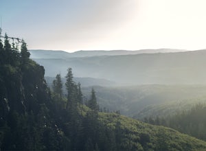
4.8The Mogollon Rim is part of the Colorado Plateau in eastern Arizona above Payson. The rim stretches across the Coconino National Forest and at some parts drops off nearly 2,000ft. This area is ideal for over-night car-camping. The expansive vistas above thousands of acres of national forest land ...Read more -
Paterson, New Jersey
Explore the Great Falls of the Passaic River
3.2Getting to the Great Falls of the Passaic River is a relatively straight shot. It is located off exit 57B on Route 80 which is also accessible from highway 287. Parking is located on McBride Avenue across the street from the park's welcome center.Typically during autumn park rangers offer 45 to 1...Read more -
Springdale, Utah
Camp at Lava Point
Didn't make a reservation? Are all the Zion campgrounds full as usual? Don't worry, the less popular and more secluded Lava Point Campground is just about a 45 minute drive away and it's free! We camped here because we rolled in late at night to Zion National Park and everything was full. It turn...Read more -
Agoura Hills, California
Malibu Creek Rock Pool
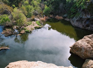
3.92.04 mi / 105 ft gainThe trail starts out from the main parking lot past the ranger station at Malibu Creek State Park. Begin hiking west on Crags Road, a well maintained trail that meanders along the creek. As you walk, you'll pass under large oak trees and enjoy expansive views of the Santa Monica Mountains. Aft...Read more -
Lebanon, Oregon
Hike McDowell Creek County Park
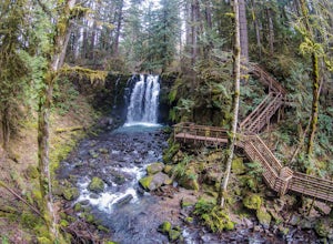
4.9GPS coordinates Lat: 44.46389 Long: -122.68278Exit off I-5 in Albany onto Highway 20 and proceed for approximately 20 miles to McDowell Creek Road and turn left, follow McDowell Creek Road - watching for signs for the park - for about 6 ½ miles, to the first of three parking areas within the park...Read more -
Mount Hamilton, California
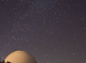
Stargaze at Lick Observatory
3.8Hop on Road 130 heading out of San Jose and follow the winding two lane road up, up, up to to the top of Mt. Hamilton and the Lick Observatory. There are lots of deer, wild turkey, and pigs in the area. If you are lucky you will get to see a herd of deer grazing in a meadow. But be careful that y...Read more

