United States
Looking for the best camping in United States? We've got you covered with the top trails, trips, hiking, backpacking, camping and more around United States. The detailed guides, photos, and reviews are all submitted by the Outbound community.
Top Camping Spots in and near United States
-
18113 Upper Hoh Road, Washington
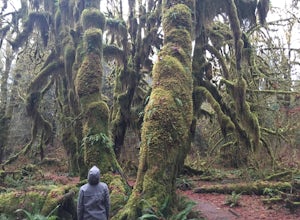
Hoh Rainforest and Hall Of Mosses
4.51.04 mi / 203 ft gainStarting at the Hoh Rainforest Visitor Center, take the only trail out into the forest itself. After a few hundred yards there will be a sign pointing you in the direction of the Hall Of Mosses. Follow signs and a very well-maintained trail over crystal clear creeks and fallen trees until you r...Read more -
Kanab, Utah
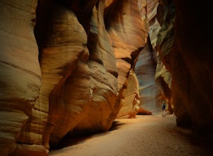
Hike Buckskin Gulch, Vermillion Cliffs Wilderness
4.615 miBuckskin Gulch is a natural wonder. At 15 miles long it is the longest slot canyon in the world. It sometimes is as narrow as 2ft. Because of the nature of this canyon and Utah topography this canyon is subject to deadly flash flood if it rains anywhere along the headwaters. Be sure to check in w...Read more -
Detroit, Oregon
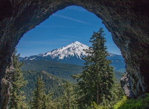
Boca Cave & Triangulation Peak
4.04.75 mi / 1053 ft gainTriangulation Peak, Spire Rock and Boca Cave TH #3372 The trail starts on level ground where you travel east along the top of the ridge. There are multiple trees that have fallen across the trail making the hike quite adventurous. Some trees you'll go over and some you will need to go under. Dep...Read more -
Stinson Beach, California
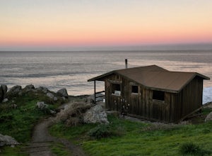
Steep Ravine Cabins
5.0Although these cabins are bare bones, lacking both water and electricity, they couldn't put you in a better spot for views of the Pacific Ocean. From your cabin, you can enjoy amazing sunsets, possibly whale watching, and access to trails like the cabin's namesake, Steep Ravine Trail. The cabins...Read more -
Lyndhurst, Virginia
Backpack Three Ridges Loop
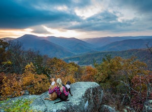
4.614.2 mi / 3960 ft gainFrom the parking area at Reids Gap, start off on the white-blazed A.T heading south as the trail begins on the left side of a clearing. You will begin climbing Meadow Mountain shortly and in .8 miles arrive at the top of the ridge, where you will continue on downhill for another .8 miles until y...Read more -
Amherst, Virginia
Mount Pleasant Loop
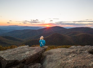
4.65.98 mi / 1427 ft gainFrom the Mount Pleasant Parking Area, take the blue blazed Pompey Mountain Trail that is just beyond the horse gate. As it's a loop, you can start at either entrance, but I prefer heading left to get the longer leg of the hike before the summit (always better to have an easy journey down in the a...Read more -
Emery County, Utah
Camp at the Little Grand Canyon
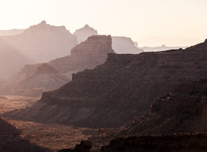
4.6The Wedge and The Little Grand Canyon are located in Eastern Utah and despite their amazing beauty are relatively unknown and overlooked partly due to their close proximity to national parks like Arches and Canyonlands. With it's massive size, The San Rafael Swell, where The Little Grand Canyon i...Read more -
Lowman, Idaho
Soak in Pine Flats Hot Springs
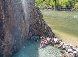
3.60.61 mi / 131 ft gainThe secret is out about Idaho's plethora of hot springs... but this one truly is special. It's highlighted by a warm waterfall that pours into a pool on the banks of the Payette. These springs are only about an hour and a half drive from Boise. To get there from the City of Trees, head north on ...Read more -
Sandy, Utah
Upper Bell Canyon Reservoir via Bell Canyon Trail
4.39.12 mi / 4285 ft gainThis is one of my favorite spots in the state of Utah! It is completely secluded high up on the Wasatch front. You can hike here for a nice relaxing day, an overnight camping trip, or do a little fly fishing and hook some fun little brooke and cutthroat trout. The Bell Canyon trail is one of the...Read more -
Evanston, Utah
Kings Peak
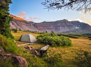
4.828.56 mi / 5213 ft gainFrom the Henry Fork Trailhead (approx. 9400 feet elev.) the trail gains very little elevation during the first 5.5 miles with several lakes to camp by along the way. The first lake reached is Alligator Lake. At just under 3 miles from the trailhead, this beautiful lake is an excellent choice for ...Read more -
New Harmony, Utah
Kolob Arch
4.713.86 miIn the lesser traveled area of Zion National Park sits Kolob Arch, a sandstone arch high up on a cliff tucked back in the canyon. To get to Kolob Arch take exit 40 on I-15 in Utah. You'll see a Zion National Park Visitor's Center. Here you can fill up on water, use the bathroom, and get a map to...Read more -
Hurricane, Utah
West Rim Trail, Zion NP
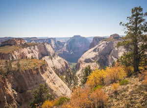
5.014.41 mi / 3000 ft gainThis 14.5 mile (one-way) trek is a multi-functional trail. The trail can serve as standalone trail allowing hikers to get in either a solid in-and-out day hike or as a leg to a much bigger and epic Trans-Zion Trek. For those interested in the later, the West Rim Trail is the leg of the journey th...Read more -
Bluemont, Virginia
Hike to Bears Den Overlook
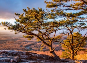
4.41.31 mi / 164 ft gainBears Den is a collection of rocks and boulders that overlooks the Shenandoah Valley in northern Virginia, just off the Appalachian Trail. You have two options to access this overlook: park at the bottom of the mountain and hike up to the overlook via the trail, or drive to the top and access the...Read more -
Brookings, Oregon
Explore Natural Bridges at Samuel H. Boardman State Scenic Corridor
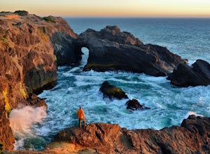
4.86 mi / 0 ft gainThe Samuel H. Boardman Scenic Corridor is 12 miles of rugged, steep coastline with many hidden & secluded beaches and coves, and the Natural Bridges section is one of the most iconic (and most photographed) along the entire Corridor.There are several hikes above and around the natural bridges...Read more -
Sedona, Arizona
Robbers Roost
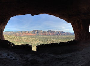
5.00.95 mi / 148 ft gainThe hike begins on the eastern side of the parking area. It is only a half mile hike but the views are amazing. Hike through the beautiful Sedona landscape of red rock and juniper before finding your way to this breathtaking cliff side view! Feel free to explore more of the mountain and find othe...Read more -
Paisley, Oregon
Soak in the Summer Lake Hot Springs
5.0From Bend drive 32 miles south on Highway 97, through La Pine to Highway 31 (2 miles south of La Pine). Turn left (east) on Highway 31 and continue for 92 miles. Summer Lake Hot Springs is on the left side of the road at mile marker 92.This is a very rustic area, with old barns and farm equipment...Read more

