United States
Looking for the best camping in United States? We've got you covered with the top trails, trips, hiking, backpacking, camping and more around United States. The detailed guides, photos, and reviews are all submitted by the Outbound community.
Top Camping Spots in and near United States
-
Lowman, Idaho
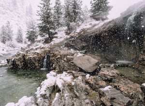
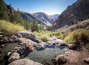
Soak in Kirkham Hot Springs
4.6Soaking in Kirkham is like soaking in a dream. Numerous geothermal springs of varying temperature await at the bottom of a small wooden staircase. Hot water pours over the cliff into pools below and literally feels like a natural shower. If that's not enough, enjoy the rush and beauty of the Paye...Read more -
Salem, Virginia
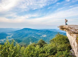
McAfee Knob
4.77.79 mi / 1296 ft gainIntro McAfee Knob is one of the most photographed and picturesque locations along the Appalachian Trail. Once you reach McAfee Knob, you'll have almost 270 degree views of the the Roanoke Valley to the East, Catawba Valley and North Mountain to the West, and Tinker Cliffs to the North. Due to t...Read more -
Stanley, Idaho
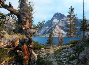
Sawtooth Lake via Iron Creek
4.910.04 mi / 1962 ft gainSawtooth Lake is "must-see" for Idaho hikers or any outdoor enthusiasts visiting the Sawtooth National Forest. The five mile trek to the lake is made worthwhile by breathtaking, photogenic alpine lakes and the crisp, clean Idaho air. It's up to you whether to day hike the trail or to camp at the ...Read more -
Elkton, Virginia
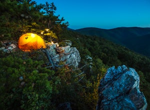
Rocky Mount Trail Loop
3.29.58 mi / 2200 ft gainThe trail begin 0.1 miles north of Two Mile Run Overlook at milepost 76.2 on Skyline Drive. You can park at this overlook for the night, just make sure you fill out a (free) wilderness permit and walk the short way on Skyline Drive to the trailhead. Immediately climb a wooded knoll before headin...Read more -
Salmon, Idaho
Hike & Soak in Goldbug Hot Springs
4.73.52 mi / 1350 ft gainReaching the Goldbug Hot Springs trailhead is pretty straightforward. It is located South of Salmon, Idaho and north of Challis, Idaho. The turnoff is near mile marker 282 on highway 93. This turns into a short dirt road (heading east) with a trailhead at the end; wooden fences and a restroom wil...Read more -
Pioneer, California
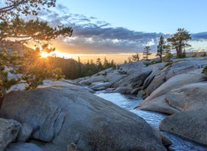
Camping at The Pots
4.2This fantastic camping or chilling spot has beautiful granite pools and slides of all sizes. The area consists of a river flowing over a granite slab creating pools some of which are over ten feet deep. The water cascades down the granite in small water falls. The area is located next to Silver L...Read more -
Swan Valley, Idaho
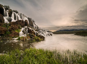
Camp at Fall Creek Falls
4.8Just an hour outside of Jackson Hole, this waterfall is very easy to access. This is also a great spot to camp overnight if you are heading to the Grand Tetons National Park from the West Coast. Look for a sign at the turn out that says “Fall Creek Falls.” If you find yourself on the bridge over ...Read more -
Greenfield, California
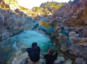
Adventure at Arroyo Seco
4.6This off-the-beaten-trail adventure has a little bit of everything for everyone, and is as challenging as you make it. Many just make it about a mile down to the river for a leisurely day of relaxing, swimming, sunbathing, and enjoying a few cold beverages. Others embark on a 7+ mile adventure up...Read more -
Sandy, Utah
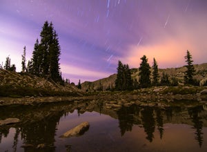
Red Pine Lake Trail
5.06.94 mi / 1995 ft gainRed Pine Lake, located in Red Pine Fork of the Wasatch Mountains, is one of the premier hiking and backpacking destinations in Little Cottonwood Canyon. Red Pine Fork is sandwiched in between White Pine Fork and Maybird Gulch to the east and west, respectively. All three are accessed via the Whit...Read more -
Klamath County, Oregon
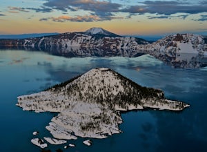
The Rim at Crater Lake NP
4.330.99 mi / 4124 ft gainWhy Go? Avoid the crowds in summer and have the entire 33 mile long rim and 21 square miles of beautiful Crater Lake to yourself. Sunrises and sunsets that will take your breath away; stars and a milky way you can get lost in for days. Expect solitude and beautiful scenery, nothing less. The 360 ...Read more -
Bridgeport, California
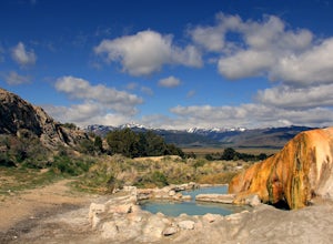
Travertine Hot Springs
4.00.16 mi / 30 ft gainAfter you’ve bagged an Eastern Sierra peak, you deserve a little soaking to soothe your aching feet and tired muscles. Luckily, our great Mother Earth provides what you need. Travertine Hot Springs sits only a few dirt miles from highway 395. Before you head out, grab some local brews from the g...Read more -
Oljato-Monument Valley, Arizona
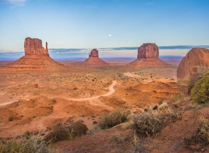
Drive the Scenic Loop of Monument Valley
5.017 miBe ready to embark on this 17 mile monumental scenic drive. The loop includes 11 numbered viewpoints and you can expect to spend between 2-4 hours in the park. For the best experience, check park hours and arrive early before the 15 mph traffic begins to stack up. You will find the beginning of ...Read more -
Wild Willy's Hot Spring, United States
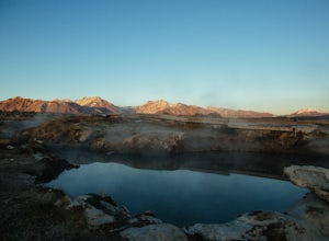
Wild Willy's Hot Spring
5.0Also known as "Crowley Hot Springs", Wild Willey's is located a short drive from Mammoth Lakes. For more information on the hot springs and the public land restoration, check out the BLM's Website. From Mammoth Lakes, head south on the 395 for 3.5 miles until you make a left at Benton Crossing Rd...Read more -
Nederland, Colorado
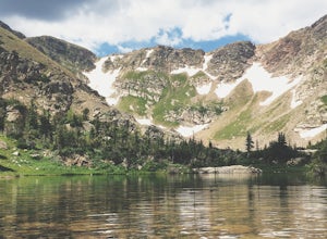
3 Crater Lakes via South Boulder Creek
5.06.92 mi / 1804 ft gainAfter turning on to Co. 16 (Tolland Rd.) from 119 at Rollinsville, drive about 8 miles down the dirt road along South Boulder Creek. The road will dead end at Moffat Tunnel where you'll find ample parking in a gravel lot with restrooms. You'll begin your hike along sweeping meadows until you ent...Read more -
Marblemount, Washington
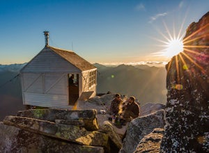
Hidden Lake Lookout
4.97.39 mi / 3415 ft gainBe careful when heading up this 4.5 mile trail since there can be snow coverage into the summer. When you start the trail, you'll get a little tree coverage as you start climbing up. Unfortunately, the shade starts to dissipate after about a mile, where you'll cross over Sibley Creek and enter th...Read more -
LaCrosse, Washington
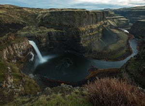
Explore Palouse Falls
4.4Back in early 2014, a group of fifth-graders from nearby Washtucna, Washington were able to convince the governor to name Palouse Falls the official State Waterfall.These miniature John Muirs were on to something.Palouse Falls is every bit as accessible as it is spectacular. From the parking lot,...Read more

