Tuolumne County, California
Tuolumne County, California is a great destination for outdoor activities and attractions. With its breathtaking views, abundance of outdoor leisure activities, and plethora of activities to explore, it caters to a diverse range of visitors. From hiking and biking to kayaking and skiing, there are plenty of ways to explore the area. The best trails and outdoor activities in the area include Yosemite National Park, Pinecrest Lake, and the Stanislaus National Forest. For a more laid-back experience, Tuolumne County also provides excellent fishing spots, and wineries. Whether you're looking for an exciting vacation or a relaxing retreat, the Tuolumne County has something for everyone.
Top Spots in and near Tuolumne County
-
Markleeville, California
Caples Lake to Emigrant Lake
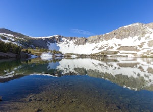
5.08.71 mi / 971 ft gainThis is an awesome out-and-back hike for the weekend warrior. The trail begins at the western-most point of Caples Lake, and takes you to Emigrant Lake. The first 2/3 of the trail is rather flat and appropriate for all skill levels. The last mile up to the lake schleps up the hill, and has some ...Read more -
Alpine County, California
Hike Round Top Summit and Winnemucca Lake Loop
6.6 mi / 1272 ft gainThis hike begins near the Woods Lake campground. Start off by hiking towards Winnemucca Lake. You will begin your journey going through the forest beside a crystal-clear stream. Soon the trail opens up to become more open, full of all colours of wild flowers. You follow this breathtaking trail up...Read more -
Alpine County, California
Hike to Round Top Peak
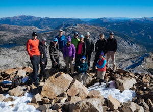
5.09 mi / 1821 ft gainThis hike begins at Carson Pass which is accessible from Highway 88. The trail leaves from the parking lot (parking requires a fee of $5) and is easy to follow. After about a mile, you'll pass Frog Lake on the left, which is a nice place to stop for a quick snack.Continue along the trail and stay...Read more -
South Lake Tahoe, California
Meiss and Round Lake via Tahoe Rim Trail
10.5 mi / 1257 ft gainMeiss and Round Lake via Tahoe Rim Trail is an out-and-back trail that takes you by a lake located near Kirkwood, California.Read more -
Highway 108, California
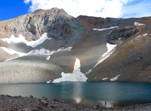
Backpack to Blue Canyon Lake
5.03.6 mi / 1280 ft gainTrailhead Coordinates: 38º 19'08.46"N 119º39'49.26"W Elev 8897ftThe trail is kind of tricky to find. It is West of the PCT trailhead at Sonora Pass and it is not marked. You park along the side of Hwy 108 and scramble down an embankment where a creek flows at the bottom. Cross this creek and you ...Read more -
Highway 108, California
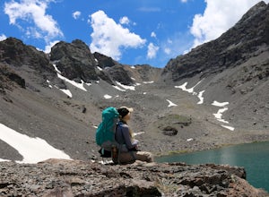
Hike to Deadman Lake
6 mi / 1700 ft gainStart: 38º19'08.46"N 119º39'49.26"W Elev 8879ftPark along Hwy 108, head down the bank and across the stream at the bottom. There you will find the start of the trail.This is a challenging hike without much of an actual trail to follow for the majority of it. The hike is very steep in certain are...Read more -
Markleeville, California
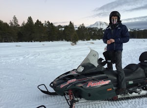
Snowmobile at Hope Valley Sno-Park
Book a snowmobile trip through a local adventure center (we love Lake Tahoe Adventures) or bring your own gear. Don't forget to grab permits ahead of time if you come on your own (more info here.) Drive (from anywhere) to Highway 88 and the snow park entrance is on the south side of the highway. ...Read more -
Pollock Pines, United States
Hiking the Jenkinson Lake Loop Trail at Sly Park
4.0The Jenkinson Lake Loop Trail runs along Jenkinson Lake, making for an easy, shaded, and well-marked hike that the entire family can enjoy. The full loop is over eight miles, but can be easily modified into a shorter trip, as well.Along the way, you will see a variety of activities along the lake...Read more -
Placerville, California
Rock Climb the Cosumnes River Gorge
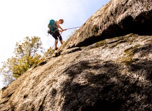
5.0Consumes River Gorge is a good climbing spot that is relativity close to Sacramento, California. it is located just outside of Placerville, California, making it a must-stop climbing spot for any Sacramento or Eldorado county local. The climbing spot boasts granite climbing areas with over a hund...Read more -
Mono County, California
Leavitt Lake in Stanislaus National Forest
4.07.44 mi / 1385 ft gainSituated on the eastern edge of Emigrant Wilderness, Leavitt Lake is a great introduction to backpacking in the Sierra Nevada. Leavitt Lake is located at the end of Forest Service Route 077 off of Highway 108. It is actually possible to drive to Leavitt Lake, but a high clearance vehicle is requi...Read more -
Kyburz, California
Hike Pyramid Peak
5.0Although it stands only slightly higher than its neighbors, Pyramid Peak nonetheless dominates the Crystal Range atop which it sits. Great views from the summit make this a must-do.The Route: The route is fairly straightforward to Lake Sylvia (see map). Simply follow the well-defined Lyons Cr...Read more -
Twin Bridges, California
Climb Knapsack Crack & Deception at Lover's Leap
If you're just getting into outdoor climbing, it can be pretty daunting. There are so many amazing routes and so much to be worried about. Plus, you need a partner you trust to put the work in with you. To start, read a book or two, and if you can, work with a guide once or twice to make sure you...Read more -
Twin Bridges, California
Hiking to Ralston Peak
4.07 mi / 2375 ft gainStarting at the lower lot it's less than a mile to access the trail. The hike starts off in shade through a lot of red fir forest and continues at a steady upward route. Approximately 45 mins into the hike you'll come across a sign that says you are entering desolation wilderness. The forest will...Read more -
Twin Bridges, California
Hike Pyramid Peak via Rocky Canyon
5.07.4 mi / 4100 ft gainPyramid Peak is the tallest peak in the Crystal Range and the Desolation Wilderness, just west of Lake Tahoe. On a clear day it can be seen from the Bay Area over 150 miles away. Named for its distinct shape, Pyramid a massive heap of glaciated granite slabs and talus, and the Rocky Canyon route ...Read more -
Twin Bridges, California
Ropi Lake via Pyramid Creek
4.74.87 mi / 1581 ft gainThe trailhead to begin this hike is located at: 38.8117 N, 120.1237 W. From Hwy 50 just south of Lake Tahoe, take Hwy 50 southwest for almost 11 miles, where you'll turn into the parking lot after crossing Pyramid Creek. There is a $5 day-use fee to park in the trailhead parking lot. The hike i...Read more -
Twin Bridges, United States
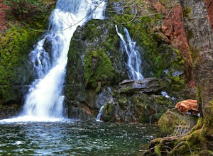
Hike Horsetail Falls
4.22.8 mi / 700 ft gainGreat views are waiting for you at the top of Horsetail Falls. Pyramid Creek flows down the steep, glacier carved granite faces of Desolation Wilderness to create this awesome waterfall that is estimated to be about 800 feet tall. You will follow Pyramid Creek up the granite rocks to the top of t...Read more

