Stevenson Ranch, California
Stevenson Ranch, California, is a must-visit for outdoor adventures. The top activity is hiking the Pico Canyon Trail, a scenic 7.6-mile loop that is moderately difficult. Along the trail, you'll see a historic oil well and the remnants of Mentryville, an old oil boom town. The trail also offers views of the Santa Clarita Valley and the Santa Susana Mountains. For a less strenuous activity, visit Dr. Richard H. Rioux Memorial Park. This park features a walking path, picnic areas, and a playground. Nearby, Six Flags Magic Mountain offers roller coasters for those seeking more adrenaline-filled activities. So, if you're looking for the best trails and outdoor activities, Stevenson Ranch has plenty to offer.
Top Spots in and near Stevenson Ranch
-
Ventura County, California
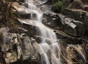
Sycamore Canyon Falls
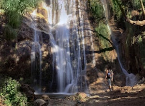
3.3 mi / 545 ft gain...When arriving in the Santa Monica Mountains Recreational Area, take the drive and park at Sycamore Canyon parking lot. Parking is free and also offers restrooms and some history about the park. Follow the trailhead South until you come to the Satwiwa Culture Center on your left and a dome-like...Read more -
Los Angeles, California
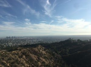
Mount Hollywood via the Fern Canyon Trail
5.05.02 mi / 1581 ft gainAt 1,625 feet Mt Hollywood is the second highest point in Griffith Park and provides picturesque views of the Hollywood Sign, Griffith Park Observatory, Downtown Los Angeles and the San Gabriel Mountains. The hike to the Mt Hollywood Summit begins on the northeast side of Griffith Park near the ...Read more -
Los Angeles, California
Griffith Park Old Zoo Loop
4.02.52 mi / 666 ft gainThe Griffith Park Old Zoo Loop is a 2.52-mile moderately trafficked loop trail located in Griffith Park, Los Angeles. Due to its length and minimal elevation gain of ~670 feet, the hike is open to all skill levels. The trail is primarily used for walking, hiking, and trail running, The Griffith P...Read more -
Los Angeles, California
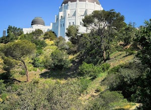
Ferndell to the West Observatory Loop Trail to Griffith Observatory
4.52.63 mi / 587 ft gainThe Ferndell to Griffith Observatory trail in Los Angeles, California is a moderate difficulty, 2.63-mile loop trail. The trail starts at Ferndell Nature Museum, a small museum with a garden and picnic area. The trail then ascends through a shaded canyon, with a small stream running alongside. ...Read more -
Lake Hughes, California
Hike the Pacific Crest Trail from Horse Trail to Bear Campground
11.63 mi / 2396 ft gainThis is part of the Pacific Crest Trail. If you're through-hiking or sectional hiking, you'll have to hit it eventually. Try and avoid it in the late summer or early fall because of heat, and gnats. Find a way to check the bug report, we got marauded by gnats 90% of the way (early October) and ap...Read more -
Malibu, California
Sandstone Peak
4.83.03 mi / 971 ft gainIf you live in Los Angeles, Sandstone Peak is a must! The hike to the summit can be done on a 2 mile hike up and back on Sandstone Peak Trail, or a 6.5 mile hike up and back on Backbone Trail. The shorter trail is more popular, yet both are equally rewarding. You won't believe the views from the...Read more -
Malibu, California
Balanced Rock via Sandstone Trailhead
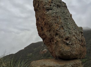
5.04.36 mi / 1125 ft gain...From the PCH, make a left turn on Yerba Buena road (turn right if you're coming South) for about 6 miles until you get to the dirt parking area. If the lot is full, there's extra parking on the side of the road. FYI, Balanced Rock can also be accessed by starting at the Mishe Mokwa trailhead,...Read more -
12869 Yerba Buena Road, California
Mishe Mokwa Trail to Sandstone Peak
5.07.06 mi / 1755 ft gainTake Yerba Buena road to the trailhead. It is less zigzagged and shorter distance from PCH. Parking is easy provided that you start early in the morning. If the lot is full, you can always park on the side of the road. Bathroom is available at Sandstone Peak Trailhead parking lot, just 0.8 miles ...Read more -
Glendale, California
Mt. Thom and Tongva Peak
6.06 mi / 1480 ft gainMount Thom and Tongva Peak are accessed by using the 6.2 mile out and back trail, Las Flores Motorway located in the north part of Glendale, CA. Roadside parking is not allowed near the trailhead, you will need to park in the nearby residential area along Sunshine Drive about 0.15 miles away from...Read more -
Malibu, California
Escondido Falls Trail
4.33.74 mi / 699 ft gainThis 3.8 mile out-and-back hike takes place on a very easy to use trail. The first 0.75 miles on Winding Way are paved, leading you up to Escondido Canyon Trail. As you head up Winding Way, it’s safest to stay on the side of the road on the dirt. You’ll take this paved road up roughly 200 feet be...Read more -
Malibu, California
Grotto Trail
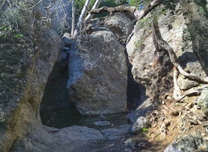
2.64 mi / 492 ft gainWho doesn't enjoy a hike that offers water, scenic views, boulder hopping and a subterranean cave? I know I do! The Grotto Trail begins at Circle X Ranch, which looks a bit like a small cowboy western store, and is approximately 6 miles from the Highway 1 (PCH). The parking is a tad tight, fittin...Read more -
Glendale, California
Nibley Park
5.0Nibley Park is a small and secluded park with lots of trees and green area. There are a number of picnic tables and a restroom, that is ADA compliant. The playground is small but two separate play areas that are marked for their specific ages for young kids to have fun. There is also a half court...Read more -
Santa Monica, California
Santa Monica Pier, Boardwalk, and Beach Trail
4.03.33 mi / 20 ft gainThe Santa Monica Pier, Boardwalk, and Beach Trail in Santa Monica, California, offers a unique blend of coastal and urban hiking. The trail is a flat, paved 3.33-mile loop that is suitable for all skill levels. It starts at the Santa Monica Pier, a historic landmark known for its Ferris wheel and...Read more -
Santa Monica, California
Spend a Day at the Santa Monica Pier
4.2*Unlimited photography options with the ferris wheel, beach, ocean, and sunsets *Abundant people watching opportunities *Plenty of ways to get a workout in including swimming, volleyball courts, running, or riding a bike There is a bike and walking path that runs along the coast. One of my favo...Read more -
Los Angeles, California
Beacon Hill via Coolidge Trail
5.02.84 mi / 587 ft gainThe starting point for your run is at the Griffith Park Southern Railroad. From the parking lot walk east crossing Crystal Springs Drive and find the Coolidge Hiking Trail. Begin running up Coolidge Trail toward Upper Beacon Trail making sure to stay straight at the first intersection (0.2 miles)...Read more -
La Cañada Flintridge, California
Teepee Trail
5.02.55 mi / 1145 ft gainHidden in the small community of La Canada, California, the trailhead is pretty hidden! From the 210, take the exit for Highway 2/Angeles Crest Highway. Head north (towards the mountains) for about a mile. As the highway begins to curve, you will come across a small side-street, Harter Lane. Turn...Read more

