Springville, California
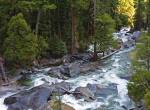
Springville, California is a must-visit for outdoor adventures, offering some of the best trails and outdoor activities. One top trail is the Springville Loop, a moderate 4.5-mile hike that offers scenic views of the Tule River and the unique rock formations of the surrounding Sierra Nevada foothills. For a more challenging hike, the River Ridge Trail is a steep 5-mile trail that rewards hikers with panoramic views of the Tule River Valley. If you're interested in water activities, nearby Lake Success offers fishing and boating opportunities. For those who enjoy wildlife, Springville is home to a variety of bird species, making it a great spot for bird watching. Whether you're a hiker, bird watcher, or angler, Springville has something for everyone.
Top Spots in and near Springville
-
Inyo County, California
Camp in the Alabama Hills
4.8The Alabama Hills Recreation Area is a area owned by BLM and open to the public. Camping is free and you can say for a max of 14 days.The are has 100+ open desert sites that are shadowed by some of the tallest peaks in the Sierra Nevada range. And if that wasn't enough, the area was the backdrop ...Read more -
Lone Pine, California
Explore The Heart Arch
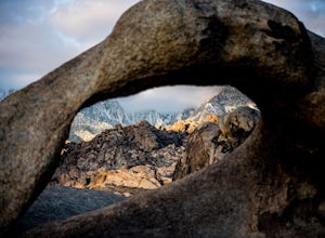
A small heart shaped arch naturally formed in the bounders at The Alabama Hills, at the foothills of the Sierras. The Alabama Hills are formation of rounded rocks near the eastern Slope of the Sierra Nevada in the Owens Valley. It is a popular filming location for movie and television show produ...Read more -
The Mobius Arch Loop Trailhead, California
Mobius Arch Loop
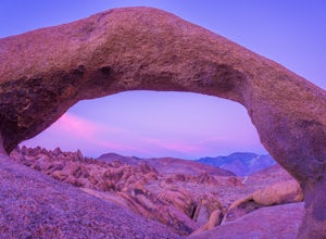
4.40.63 mi / 46 ft gainThe Alabama Hills area of Lone Pine, CA is located on the eastern side of the Sierra Nevadas. As you drive along Movie Flat Road you will be surrounded by a sea of golden brown boulders of varying shapes and sizes extending in every direction. The main attraction in Alabama Hills is definitely th...Read more -
Tulare County, California
Hike the Sugar Bowl Loop in Kings Canyon NP
4.56.5 mi / 1480 ft gainFirst and foremost, to get to this trailhead you need to drive down a 2-mile, one lane dirt road that is quite steep. It is highly recommended you do this in an AWD or 4WD vehicle, especially since the road can be muddy from snowmelt or after a recent rain. We have a 2WD car but used chains for e...Read more -
Lone Pine, California
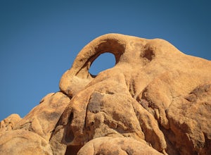
Photograph Eye of the Alabama Hills Arch
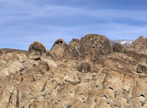
3.50.4 miThe Eye of the Alabama Hills Arch is a quick hike or drive from the popular Mobius Arch just off Movie Flat Road. The rocks around the arch offer outstanding views of the surrounding Alabama Hills and Sierra Mountains. To get to the arch follow the directions for Mobius Arch which is a great firs...Read more -
Lone Pine, California
Mountain Bike Alabama Hills Loop
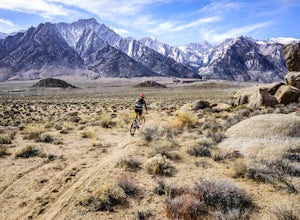
5.014.7 mi / 1906 ft gainThis 14.7 mile loop has some fun single track descents through the gorgeous Alabama Hills. It kicks off with a climb up the road, which can easily be shuttled if you have more than one car or someone to brave a hitched ride up the road. From the trailhead start, you'll encounter quite a bit of l...Read more -
Fresno County, California
Explore Zumwalt Meadow and Roaring River Falls
4.54.1 mi / 475 ft gainThe Zumwalt Meadow and Roaring River Falls Trail is a 4.1 mile hike in Kings Canyon National Park. You feel remote, even with a road nearby. The minimal elevation change makes this a scenic hike for all skill levels. Bring bug spray and wear long sleeve hiking clothing in August, as the bugs are ...Read more -
Seven Pines, California
Mt. Williamson via Shepherd Pass
5.026.66 mi / 10653 ft gainThis trail starts at the lowest, and generally regarded hardest, trailhead in the Southern Sierras. You quickly gain elevation in what many describe as manageable but relentless. The first section of the hike has nice shade and adequate water access. Very enjoyable company to boot! Once you cros...Read more -
Hume, California
Big Stump Loop Trail
5.01.71 mi / 305 ft gainBig Stump Loop Trail is a loop trail where you may see wildflowers located near Dunlap, California.Read more -
Fresno County, California
Hike to Lookout Peak
12 miYou'll want an early start to this hike so consider camping in the park the night before. If you enter the park via CA-180 and follow it for a ways (passing Kings Canyon Visitor Center, Kings Canyon Lodge, and eventually the Cedar Grove Visitor Center) you'll come up to two campsites on the left-...Read more -
Kern County, California
Walker Pass Campground Trail
1.84 mi / 240 ft gainWalker Pass Campground Trail is an out-and-back trail where you may see wildflowers located near Onyx, California.Read more -
Sierra, California
Rae Lakes Loop
5.039.08 mi / 7316 ft gainDay one: After checking in with the park ranger and getting your required permits you will start your hike along a 1.8 mile stretch along the south fork of the Kings River. At this point, people typically go clockwise toward Paradise Valley but you can also go counterclockwise along Bubbs Creek. ...Read more -
Sierra, California
Hike to Mist Falls
4.59 mi / 600 ft gainThe trailhead starts at Roads' End (the end of Hwy 180). Take the Bubbs Creek/Kanawyer Loop Trail and hike east. For the first three miles the trail is relatively flat through an open pine forest. Make sure to look up as there are some great views of the valley. The granite walls on both sides of...Read more -
Hume, California
Camp at Sunset Campground in Kings Canyon National Park
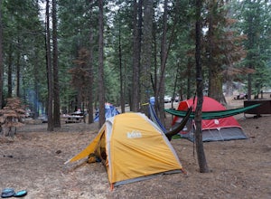
Sunset Campground is minutes away from the King's Canyon National Park entrance. There are a total of 150 sites (2 group campsites) at this campground which can be reserved here. There are several bathroom, water faucets and even an amphitheater. Each campsite comes with a bear locker, picnic tab...Read more -
Independence, California
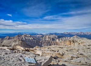
Onion Valley to Mt. Whitney
47.35 mi / 11745 ft gainTrip Guide ***Please note, all images after the first one are arranged in chronological order of the trip so you can easily follow along Day 1 Depending on where you are coming from your day one is most likely going to be setting up your car shuttle from Whitney Portal to Onion Valley. Our fi...Read more -
Independence, California
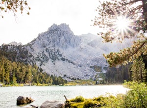
Flower Lake from Onion Valley
5.04 mi / 1352 ft gainMake sure to obtain an overnight permit up to 6 months in advance. You will have to pick up your permit at one of the Inyo National Forest Visitor Centers (here) before you begin. Once you have your permit in hand, drive to the Onion Valley Trailhead (see map), which is about 15 miles west of th...Read more

