Silverado, California
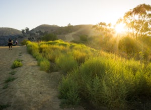
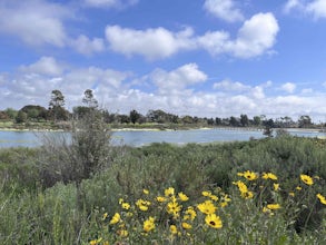
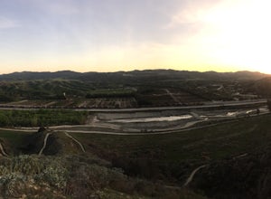
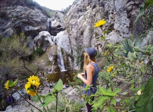
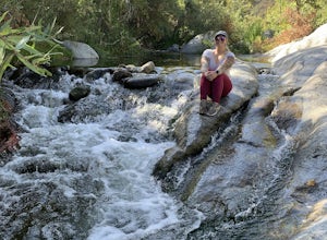
Silverado, California is home to some of the best trails and outdoor activities. From scenic hikes to thrilling zip-lining, there’s something for everyone. Top attractions include the Santiago Creek Trail, which is perfect for a leisurely stroll, and the Irvine Regional Park, which is great for camping and picnicking. For the more adventurous, there are plenty of must-visit places, such as the Modjeska Canyon Trail, which offers stunning views and challenging terrain. There’s also the Black Star Canyon Trail, which is great for mountain biking. No matter what type of outdoor adventure you’re looking for, Silverado, California has it all.
Top Spots in and near Silverado
-
Huntington Beach, California
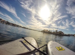
Stand Up Paddle (SUP) in Huntington Harbor
4.5Huntington Harbor is the perfect location for an easy and relaxing stand up paddle board session. Here you will get to enjoy the view of the houses by the harbor, some boats sailing by, and some low bridges you'll have to paddle through while ducking on your board (fun!).There are several stores ...Read more -
Seal Beach, California
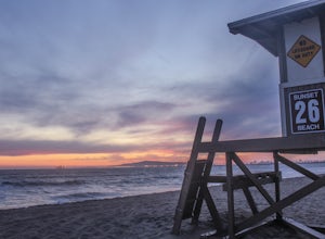
Sunset Beach
4.6Sunset Beach is located just 9 miles south of Long Beach and 6 miles North of Huntington Beach, CA on the famous Pacific Coast Highway 1. I accessed Sunset Beach from the South on I-405. I took exit 22 for Seal Beach. After the exit I turned a left/west on Seal Beach Blvd and drove for 2.6 miles ...Read more -
Riverside, California
Hike Two Trees Trail
2.5 mi / 977 ft gainParking is free at the trailhead, but there is only room for approximately five cars. The trailhead is on the edge of a neighborhood, so you can park there if needed. From the parking lot, head west, and immediately veer right and across the bridge. If you go left at the first fork, you can stay ...Read more -
San Clemente, California
Beach Day at San Onofre
5.0This spot is no secret but it’s by far one of the best beaches California has to offer and has been regarded since the 1950s as a friendly surfing sanctuary. The beach is divided into three surf spots (named from North to South), known as “The Point,” “Old Man’s,” and “Dogpatch.” To access the be...Read more -
Seal Beach, California
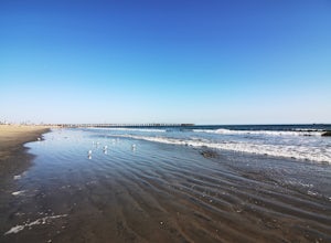
Seal Beach
4.7Seal Beach is a small beach community between Long Beach and Huntington Beach. Right off PCH (Pacific Coast Highway), this sandy beach is a great place to chill on a hot summer day. The high winds coming off the water makes it an ideal place to kite board, surf, or simply fly a kite along the sho...Read more -
La Verne, California
Marshall Canyon Trail
4.05.99 mi / 722 ft gainFor this adventure you can choose to start in a multiple of places; for the easiest parking use Oak Mesa Park located next to Oak Mesa Elementary School. From the parking lot cross the soccer field towards the bridge on the north east end of the school. Once across the bridge follow Los Robles ea...Read more -
Claremont, California
Claremont Wilderness Loop
4.85.03 mi / 1020 ft gainDrive to the top of Mills Ave in Claremont. There is a main parking area to the left and overflow parking a block south on the right. It costs $3 to park for 4hrs. As the name implies, the Wilderness Loop is a loop that connects to other trails in the Claremont Hills Wilderness. You can choose t...Read more -
Whittier, California
Hellman Park Trail
3.04 mi / 850 ft gainThis trail is great if you're looking for a quick, but intense workout. The hike itself is only 4 miles out- and-back and can be easily completed within a couple of hours. However, be prepared for a steep and steady incline for the first 1.5 miles. The trail itself is pretty wide, and if you sho...Read more -
Long Beach, California
Colorado Lagoon
5.00.95 mi / 30 ft gainThe Colorado Lagoon is a wetland that is being restored. To make this 1 mile walk into a loop, you have to walk along sidewalks near the park. This is a very kid-friendly destination. This trail crosses over the lagoon on a boardwalk. It also accesses a sandy swimming beach with restrooms, picnic...Read more -
Long Beach, California
Red Car Greenbelt
5.00.63 mi / 0 ft gainThe Greenbelt used to be the right-of-way for the long lost Pacific Electric Red Car, an amazing system of public transportation that connected Long Beach, LA, Orange Coutny, and even San Bernardino. The pathways are landscaped with plants typical of the area and plenty of native flowers for the...Read more -
Whittier, California
Sycamore Canyon Trail in Turnbull Canyon
2.03.47 mi / 627 ft gainThe Sycamore Canyon Park Trailhead can be found at the end of the dirt parking lot off Workman Mill Road. The entrance is off a small road which is pretty easy to miss, but there is a sign off the main road. Soon after you start on the trail, the path opens up onto a larger dirt road for vehicle ...Read more -
Signal Hill, California
Hilltop Park
4.7Hilltop Park is located in Signal Hill and offers an unmatched panoramic view of the Los Angeles Basin. If you go on a clear day, you may even be lucky enough to see Catalina Island and the Santa Monica and San Gabriel Mountains. This park is the perfect spot for families, dogs, and even dates. T...Read more -
Redlands, California
Run the Carriage Trail
3.52.5 mi / 300 ft gainThere is room to park just off San Timoteo Road. On the other side of the trail is more parking off Alessandro. You can park your car on either side and start your run/walk/bike ride. This is a nice little "get away" trail to take a break from suburbia.Read more -
Azusa, California
Fish Canyon Falls
2.04.08 mi / 801 ft gainThis trail is currently closed! Learn more on the U.S. Forest Service website. Follow Encanto Parkway towards the hills until you come to a junction with a sign labeled "trail" that points towards a parking lot to your right. Parking is free, though on weekends it may be difficult to find a spot...Read more -
Fallbrook, California
Hike the Santa Margarita River Trail
5.05 mi / 469 ft gainSanta Margarita River Trail is a 5 mile out-and-back hike that takes you near the river in Fallbrook, CA. This trail provides some shade which is helpful on hot days. If you bring your swimsuit you can hop in for a dip on hotter days. Make sure you wear good hiking shoes due to some rocky terrai...Read more -
Claremont, California
Stoddard Peak Trail
4.05.93 mi / 1129 ft gainOn the way to Mount Baldy and within the trail system of the San Gabriel mountain range is the Stoddard Peak Trail. The Stoddard Peak Trail, which is basically the old Barrett-Stoddard fire road, goes through the Stoddard Canyon into Stoddard Flat, and then eventually leads to Stoddard Peak. The ...Read more

