Shingletown, California
The best Trails and Outdoor Activities in Shingletown, California offer an array of scenic outdoor adventures. A must-visit is the Lassen Volcanic National Park, where you can hike through a volcanic landscape with unique rock formations and clear mountain lakes. The park's top trail, the Bumpass Hell Trail, is a moderate hike that takes you past hydrothermal features and offers stunning views. For a more challenging hike, the Lassen Peak Trail leads to the summit of an active volcano. In addition to hiking, you can also enjoy fishing in Hat Creek, known for its abundant trout. Near Shingletown, you'll find the Subway Cave Lava Tubes, a unique geological formation that you can explore on foot. Whether you prefer hiking, fishing, or exploring, Shingletown offers a variety of outdoor activities for all.
Top Spots in and near Shingletown
-
Plumas County, California
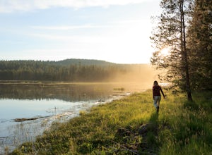
Camp at Last Chance Creek Campground on Lake Almanor
This PG&E campsite is located on the northern most inlet of Lake Almanor and is slightly more remote than the other sites around Lake Almanor. The campground offers spectacular views and easy access to great fishing. To get there, head east out of the town of Chester on Highway 36. After cros...Read more -
Lassen County, California
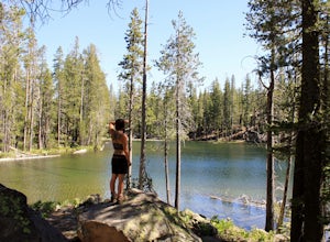
Backpack the Caribou Wilderness Lakes Loop
12 miThe caribou lakes loop is very laid back, making it a great start for first time backpackers and kids. Word of caution: in the summer the mosquitos are plenty, I'd recommend this loop for the fall. From the parking lot there is a visible sign pointing you in the direction of the trailhead near Ca...Read more -
Igo, California
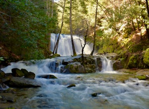
Hike to Brandy Creek Falls in Whiskeytown National Recreation Area
5.03 mi / 500 ft gainMy favorite hike in Whiskeytown National Recreation Area. From the visitor center you will take Kennedy Memorial Drive towards the dam, make a left at Brandy Creek Road. At a junction for Sheep camp/Shasta Bally make a left. You will arrive at the trailhead. This hike follows a beautiful stream t...Read more -
Burney, California
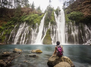
Burney Falls
4.90.97 mi / 82 ft gainBurney Falls can be seen right from the parking area, but this scenic loop is a great hike for all levels of hiking ability. Heading out on this trail will take you to the base of this 129 foot tall waterfall. The Hike Burney Falls has a 1.3 mile loop trail that takes approximately 30 minutes ...Read more -
Burney, California
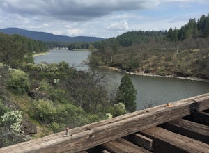
"Stand by Me" Bridge
4.0The "Stand by Me" bridge is located in Northern California about 20 miles north of Lassen National Forest and two and a half miles (2.4 mi) from Burney Falls at McArthur-Burney Falls Memorial State Park. The bridge is approximately 7.5 miles north of Burney, CA. From the town of Burney, take Hw...Read more -
Burney, California
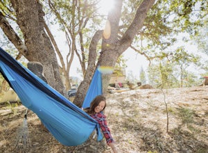
Northshore Campground
The name of the campground, Northshore Campground, speaks for itself. It's located on the northern side of Lake Britton, across the water from the main state park camping area. This is nice for us as it's easier to get a spot, and it's much quieter. Campground Reservations It's a PG&E campgr...Read more -
French Gulch, California
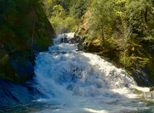
Hike to Crystal Creek Falls in Whiskeytown National Recreation Area
0.6 miFrom Redding pass the visitor center on highway 299 and pass the lake. Make a left turn on to Crystal Creek Road. Follow this road for about 2 miles. There will be signs to make a left turn to Crystal Creek Falls. This is less of a hike and more of a walk. The trail is paved. It is less than a ha...Read more -
French Gulch, California
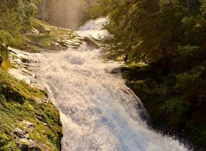
Hike to Whiskeytown Falls in Whiskeytown National Recreation Area
2.8 mi / 787 ft gainComing from Redding pass the visitor center and heading down highway 299. Make a left turn on Crystal Creek Road. Drive about 3.75 miles and on your left will be the Mills Creek Trailhead. Start hiking. You will start headed downhill towards the creek. You will cross Crystal Creek on a footbridge...Read more

