Shingle Springs, California
Top Spots in and near Shingle Springs
-
Tahoma, California
4.8
5.29 mi
/ 725 ft gain
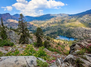
Park your car at the Glen Alpine Trailhead adjacent to Lily Lake and southwest of Fallen Leaf Lake. Head west on Glen Alpine Creek Trail passing Lily Lake on your left. After a little over a mile and a half of trekking through the alpine forest and taking in mountain views, you'll arrive at Alpin...
Read more
-
Tahoma, California
5.0
7.96 mi
/ 1496 ft gain
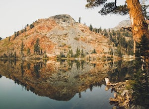
Starting at the Glen Alpine trailhead (best access to Susie Lake): To get to the trailhead, head toward Fallen Leaf Lake in South Lake Tahoe. From HWY 89, turn onto Fallen Leaf Rd and drive past the summer homes and marina until you reach a small firehouse on the left side of the road. You'll fol...
Read more
-
Tahoma, California
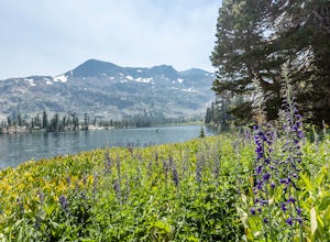
This hike starts at the Glen Alpine Trailhead near Fallen Leaf Lake. Because Desolation is a wilderness area, you are required to fill out a day-use permit which can be found at the trailhead. If you are backpacking make sure to obtain an overnight permit either online or at the Taylor Creek Visi...
Read more
-
South Lake Tahoe, California
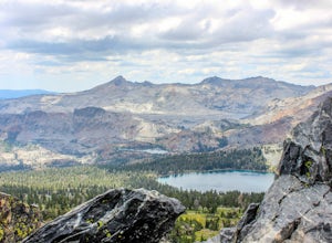
The easiest way to get to Gilmore Lake is to start at the Glen Alpine trailhead. The trail head is southwest of Fallen Leaf Lake. There is a decently sized parking lot at the trailhead, but parking is also available on the road up. Because desolation is a wilderness area, you must fill out a perm...
Read more
-
South Lake Tahoe, California
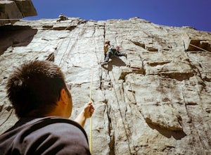
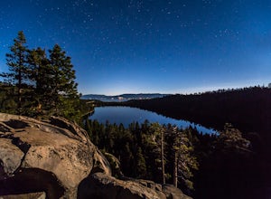
To Access Eagle Lake Cliffs Crag, head to the West Shore of South Lake Tahoe. You’ll want to park at Emerald Bay Parking Lot and head to the trail register. It’s almost always packed, so come early, or plan to park on the road and walk. Sign yourself and your party number in for the day access pa...
Read more
-
South Lake Tahoe, California
4.4
2.39 mi
/ 617 ft gain
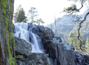
Eagle Falls Trail is located off Highway 89 and is surrounded by some of the most beautiful landscapes in California. Eagle Falls is one of the most popular short hikes in Lake Tahoe because of its beautiful cascading waterfalls, lush green scenery, and trees. Alongside one of the bluest pristine...
Read more
-
South Lake Tahoe, California
4.5
9.18 mi
/ 2251 ft gain
Hiking or backpacking to the Velma Lakes area is a must do if you want to explore and escape the summer crowds of South Tahoe. There are 3 lakes, Upper, Middle, and Lower Velma Lake. The trek out to Middle Velma is 9+ miles roundtrip, but you can add to it depending on how many other lakes you wa...
Read more
-
South Lake Tahoe, California
4.0
2.35 mi
/ 571 ft gain
The trailhead starts (and ends) by the beautiful Emerald Bay of Lake Tahoe, and goes west. The trail is well-marked and composed of mostly granite steps.
Once you get to the lake, you can swim: it's cold but beautiful. If you keep following the path to the wooded areas (to the left), there are s...
Read more
-
South Lake Tahoe, California
Eagle falls is a short walk from the main Emerald Bay vista point. The top of the falls are cool to look at themselves, with great views of the lake.
Read more
-
South Lake Tahoe, California
Park at the Eagle Creek Canyon parking lot. If it's full, park alongside the Hwy 89, right at the entrance of the Eagle Creek Canyon parking pullout. Both parking areas fill up quickly, so if those two are full, park across the street at Emerald Bay Vikingsholm Trail parking lot. That area can fi...
Read more
-
South Lake Tahoe, California
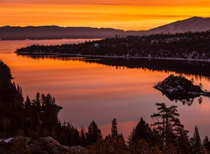
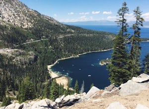
Lake Tahoe’s Emerald Bay is a national natural landmark and is one of the prettiest parts of the lake. Inspiration Point is located along route 89 on the Southwest side of Tahoe about 10 miles from South Lake Tahoe or about 33 miles South from Truckee. It is very easy to get to, and its high va...
Read more
-
South Lake Tahoe, California
4.3
1.84 mi
/ 358 ft gain
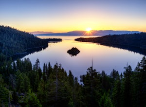
The View at Emerald Bay is not to be missed. This is an amazing place to catch a sunrise over the lake or to see the east side of the lake lit at night. During the day, you should take the quick hike down the trail to enjoy the beach to rent a kayak and explore the dark blue water.
The perspecti...
Read more
-
South Lake Tahoe, California
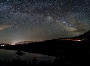
There is a reason Emerald Bay is one of the most photographed places in the world and that is because of its stunning beauty! I am sure you have experienced it during the day, but the bay really comes alive at night. The Milky Way reaches over all of Emerald Bay and it is a sight to see! Head out...
Read more
-
Nevada City, California
Check in and pay for your parking or present California State Parks Pass at the museum building in North Bloomfield. After paying for parking there are several different options to get onto the Diggins Loop trail. Access to the Diggins Loop trail can be found by the Park Headcounters by jumping...
Read more
-
South Lake Tahoe, California
Starting out at the Bayview Trailhead you will make your way out through the campground towards the trail. Once you find the trail it is a simple way to the falls. It starts out as a wide trail and winds through the pine and fir trees. You will come to some stone steps as the trail narrows for th...
Read more
-
South Lake Tahoe, California
Get ready to get your lake on! This backpacking trip will take you 13+ miles through awesome scenery to several alpine lakes.Starting at the Bayview Campground, off of HWY 89, this hike follows the Granite Lake Trail along a difficult climb. Don't let the climb discourage you! As you climb, the v...
Read more

