Santa Ysabel, California
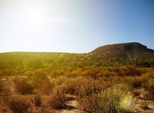
The best Trails and Outdoor Activities in Santa Ysabel, California, offer a variety of exciting outdoor adventures. One of the top attractions is the Santa Ysabel East Preserve Trail. This 6-mile trail is a must-visit for its scenic views of rolling hills, oak woodlands, and native grasslands. It's a moderate hike with a few steep sections, making it a fun challenge. Another highlight is the Santa Ysabel West Preserve Trail. It's a 4.5-mile trail with a gentle slope, perfect for a leisurely hike. You'll pass through dense forests and open meadows, with views of the Santa Ysabel Creek. For a unique outdoor activity, visit the Dudley's Bakery and Julian Station for local food and wine tasting. It's a great way to relax after a day of hiking.
Top Spots in and near Santa Ysabel
-
Mountain Center, California
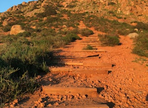
Apache Peak Trail
9.4 mi / 2966 ft gainApache Peak Trail is an out-and-back trail where you may see wildflowers located near Mountain Center, California.Read more -
San Diego, California
Pyles Peak
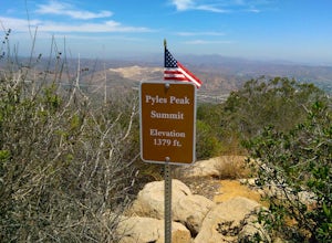
5.06.03 mi / 1706 ft gainMost people who live in San Diego have heard of, if not hiked, Cowles Mountain. At 1591 ft., Cowles is the highest peak in the city of San Diego. It's a hugely popular destination for day hikers and trail runners looking to get in a little trail time and take in the 360 degree views the summit h...Read more -
San Diego, California
Visitor Center Loop Trail
5.01.46 mi / 148 ft gainThe Visitor Center Loop Trail is a 1.4 mile hike in San Diego that features river views and allows dogs.The Visitor Center Loop Trail is a well maintained, quick hike with shady spots scattered along the path and open year-round. This trail is great for kids and dog owners. There is a great netwo...Read more -
San Diego, California
Mission Trails 5 Peaks
15 miThe 15-ish mile route we took made it a great workout, but it didn’t crush us. We left the apartment at 6 am and were back home with plenty of time to prep cook and eat a big dinner before 5 pm. Although I completed the hike in 1 day(and I highly recommend it)many people completed each hike indi...Read more -
San Diego, California
South Fortuna Mountain
5.04.59 mi / 997 ft gainHiking at sunset/night is a great way to beat both the heat and the crowds. On a clear day, you can see from Mexico to Catalina Island! If you stay long enough, you can see all of San Diego's city lights turn on, or the marine layer fog creeps into the canyons. South Fortuna Peak is part of Miss...Read more -
Hemet, California
Hike South Fork Trail
5.4 mi / 1056 ft gainBegin by following the unsigned but visible trail on the south side of the turnout. You climb steadily through bushes and past granite boulders. At half a mile, you pass over to the western slope of the hill where the trail bends southeast, providing your first look of the river valley far below....Read more -
La Mesa, California
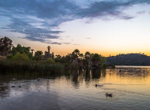
Catch a Sunset at Lake Murray
Lake Murray Reservoir provides drinking water to parts of San Diego, and thus is a no swimming lake. This is one of the reasons it is such a great place to photograph! If you are shooting the sunset, use this app to check the time the sun sets, and get to the lake at least 30 minutes prior to set...Read more -
La Quinta, California
Hike to Lake Cahuilla
4.55.41 mi / 183 ft gainFrom Hwy. 111 take Washington (South) 3 miles to Avenue 52 (Turn Right). Take Avenue 52 a 1/2 mile to Avenida Bermudas (Turn Left). Follow Avenida Bermudas for 2 miles (becomes Calle Tecate). Cove Trailhead & Parking Lot located on the left across from Avenida Ramirez. You'll start heading ou...Read more -
La Quinta, California
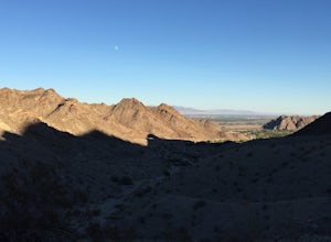
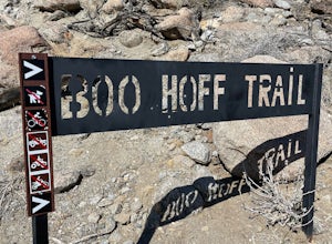
Boo Hoff Trail
12.7 mi / 2323 ft gainBoo Hoff Trail is a loop trail where you may see wildflowers located near La Quinta, California.Read more -
San Diego County, California
Hike Canyon Sin Nombre
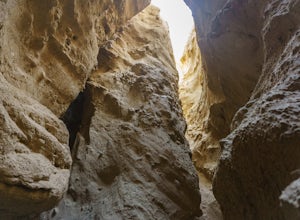
4.05 mi / 750 ft gainThis slot canyon hike is found deep in the Anza-Borrego Desert State Park in Canyon Sin Nombre. If you have a suitable 4WD vehicle you can drive about 2.2 miles to the start of the slot otherwise you can hike down the sandy unpaved road. The entrance will be on your left and marked by metal posts...Read more -
Carlsbad, California
Hike and Fish at Lake Calavera
4.06.24 miLake Calavera Preserve is located in Carlsbad, CA and is home to one of North America's smallest volcanoes. It is the end peak of each trail and is what's known as a "volcanic plug" (cool hardened lava). The northern face of Mount Calavera is that of columnar joints- columns of molded lava. Geolo...Read more -
Jamul, California
Hike the Hollenbeck Canyon Trail
4.6 mi / 626 ft gainThe trail is wide and well maintained. The first mile of the trail is well shaded by oak trees. You'll see stunning rocky peaks and rolling green hills as the trail continues. There are three creek crossings to be aware of. Cleveland National Forest is dog friendly, but bring a leash! Hunting is ...Read more -
Fallbrook, California
Hike the Santa Margarita River Trail
5.05 mi / 469 ft gainSanta Margarita River Trail is a 5 mile out-and-back hike that takes you near the river in Fallbrook, CA. This trail provides some shade which is helpful on hot days. If you bring your swimsuit you can hop in for a dip on hotter days. Make sure you wear good hiking shoes due to some rocky terrai...Read more -
Encinitas, California
Coastal Roots Farm
5.0Coastal Roots Farm in Encinitas, California provides high quality, freshly picked organic produce with a pay-what-you-can pricing model. If you can afford to, pay their asking price, especially when you consider in return they allow people in need to buy for less than normal market prices. Best p...Read more -
Palm Springs, California
Palm Canyon Trail
4.51.94 mi / 308 ft gainThe fifteen mile long Palm Canyon, one of the Indian Canyons, is among the most beautiful natural sites in Western North America. Its indigenous flora and fauna, expertly used by the Cahuilla people, and its abundant Washingtonia Filifera (California Fan Palm) stand in breathtaking contrast to th...Read more -
Palm Springs, California
Indian Canyon West Fork Trail
5.3 mi / 1545 ft gainIndian Canyon West Fork Trail is a strenuous out-and-back trail located near Palm Springs, California.Read more

