Sand City, California
Sand City, California is a must-visit spot for outdoor adventures. One of the top attractions is the Monterey Bay Coastal Recreation Trail. It's a scenic, paved path that stretches for 18 miles, providing ample opportunities for walking, jogging, and biking. For the more adventurous, the trail includes a challenging hiking route with a variety of terrain. Along the path, you'll find stunning views of the Pacific Ocean, unique rock formations, and the chance to spot local wildlife. Another must-visit is the Fort Ord Dunes State Park, a former military base turned into a state park. It offers a 4-mile stretch of beach, a boardwalk, and a scenic overlook of Monterey Bay. The best Trails and Outdoor Activities are all in and near Sand City, making it a top destination for outdoor activities.
Top Spots in and near Sand City
-
Big Sur, California
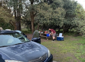
Camp at Pfeiffer Big Sur State Park
5.0The campground at Pfeiffer Big Sur State Park offers a spectacular variety of natural settings to enjoy. Each of the 189 tent and RV sites is located within the redwood groves, oak woodlands, grassy meadows and they even have riverside camping.Each site has a picnic table, fire ring, access to dr...Read more -
Capitola, California
Camp at New Brighton Campground
/ 0 ft gainThis Capitola camping spot is the place to be if you're looking to do a variety of activities in a variety of landscapes. You can swim, fish, or explore the nearby forest of Monterey Pine and coastal Oak. In the evening, walk into Capitola for live music and great fish tacos. The S.S. Palo Alto,...Read more -
Big Sur, California
Sykes Hot Springs via Pine Ridge Trail
4.218.96 mi / 7339 ft gainThe trek to Sykes Hot Springs is about 10-miles one way along the Pine Ridge Trail. This is a great backpacking trip, but can be done as an out-and-back hike from the campgrounds at Pfeiffer Big Sur State Park if you're really moving. The trail is moderately challenging, you'll cross the river t...Read more -
Big Sur, California
Pine Ridge, North Coast Ridge Loop
2.033.45 mi / 11388 ft gainIf you are looking to do some backpacking in the Big Sur area, you've come to the right place. This post shares a suggested 4-day backpacking loop in the Ventana Wilderness that will offer a bit of everything - challenging hiking with a healthy does of elevation, beautiful primitive camping amon...Read more -
Santa Cruz, California
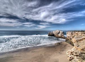
Natural Bridges State Beach
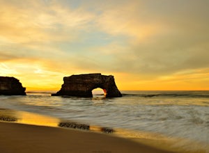
4.3Natural Bridges State Beach is a wonderful place to photograph located in Santa Cruz off of West Cliff Drive. This is a great place to practice long exposure photography to capture awesome water movement as it passes through the "Natural Bridge" formation. The best time to shoot this spot is at ...Read more -
Santa Cruz, California
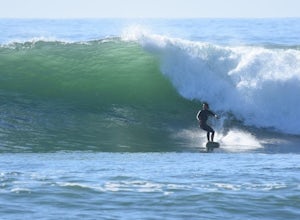
Surf at Natural Bridges State Beach
4.5Natural Bridges is off of West Cliff Drive to the north of popular Santa Cruz break, Steamer Lane. The break is a right point break, which breaks on a rocky shelf and reef. The break is best during sizable swells (NW, SW, and West) and a low tide. Be sure to check the wind, this break gets blown ...Read more -
Santa Cruz, California
Photograph Monarch Butterflies at Natural Bridges' Monarch Grove
4.3The park's Monarch Grove provides a temporary home for thousands of Monarchs. From late fall into winter they make this their home and if you time it perfectly you can see them in clusters in the trees. When you reached the Natural Bridges State Park, on the right of the Visitors Center you'll f...Read more -
Big Sur, California
Explore the Big Sur River Gorge
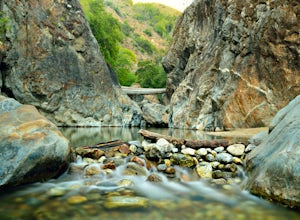
4.71 miIf you are in the Big Sur area during the summer, exploring the Big Sur River Gorge is a must! The gorge is located in Pfeiffer Big Sur State Park, and your closest parking will be day use parking lot 3. The trailhead to the gorge can be found at the northeast end of Pfeiffer Big Sur State Park C...Read more -
Big Sur, California
Pfeiffer Beach
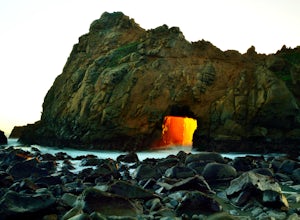
4.00.81 mi / 75 ft gainPfeiffer Beach located in Big Sur may truly be one of the most awesome beaches in California...if you can find it. I lived within 40 miles of this beach for over 20 years and just discovered it recently. This beach is located on an unmarked road called Sycamore Canyon Road. On Highway 1, this roa...Read more -
Aptos, California
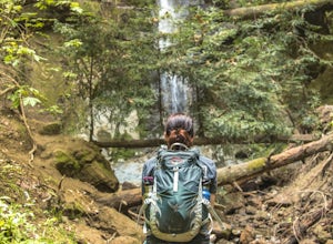
Hike to Nisene Marks' Maple Falls
4.68.5 mi / 900 ft gainAs you enter the park, you'll need to pay $8 for parking via a self-pay envelope, so it's recommended that you bring exact change. At the park booth, be sure to grab a map. The hike can be a little tricky with no cell service and limited trail signage. Once you've grabbed your map, keep driving p...Read more -
Santa Cruz, California
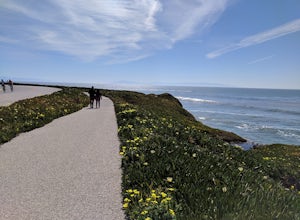
Hike Natural Bridges to Lighthouse Field
3.54.8 mi / 121 ft gainThis is a paved trail that can be used for hiking, jogging, or walking. It offers over 2 miles of beautiful California coast. Walk through flowers, see the jagged cliffs, and of course the lighthouse at the end! This walk can be done from either direction. Start at Natural Bridges and head We...Read more -
Soquel, California
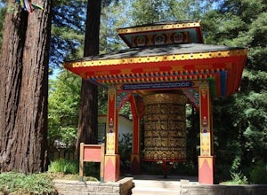
Land of Medicine Buddha Loop
4.55.74 mi / 915 ft gainNear the retreat, there is a short trail called "Eight Verses Pilgrimage Trail" providing people with the opportunity to meditate on thought transformation in a peaceful and picturesque outdoor setting. From there, a beautiful 6 mile loop will take you up to the top of the ridge and then back aro...Read more -
Santa Cruz, California
Photograph the UC Santa Cruz Arboretum
5.0No matter the time you'll decide to visit the UC Santa Cruz Arboretum, you'll have thousands of interesting plants and birds to see and watch. The Arboretum is located on the west side of UCSC campus, between the main campus entrance and the west entrance. Parking is 5$ for adults and 2$ for chil...Read more -
Santa Cruz, California
Surf Four Mile Beach
4.0Four Mile is a reef/point break that is a couple of miles north of town. This spot usually picks up more swell than in town so it is a popular spot for many locals to surf. When the swell picks up, it offers long rights towards the beach. The current can be strong when there is a lot of swell in ...Read more -
Soledad, California
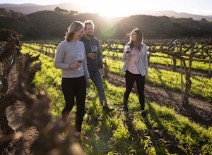
Explore Dreamy Wrath Wines Vineyards
Just a short drive from some of the best trails and rock climbing at Pinnacles National Park, Wrath Wines' Soledad winery is a great way to wine'd down after a day of adventure. What makes this grape growing region unique is the constant marine layer fog and wind stress out the grapes (that’s a ...Read more -
Santa Cruz, California
Hike the Rincon Fire Trail
5.01 mi / 300 ft gainThe Rincon Fire Trail Starts at a small dirt parking lot next to CA-9 and traverses down the mountain to the San Lorenzo River Connecting with the Pipeline Trail. The trail can be a simple one of a mile out and back or up to 5 miles depending on your preference. The elevation will change by about...Read more

