Placer County, California
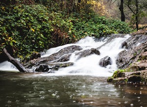
Placer County, California is a top destination for outdoor adventures. The best trails and outdoor activities are plentiful here. One must-visit is the Stevens Trail, a scenic 9-mile round trip hike that offers stunning views of the American River Canyon. The trail is moderately difficult with steep inclines and rocky terrain, but the sight of the river, waterfalls, and wildflowers make it worth the effort. For those interested in rock formations, the Donner Summit Canyon trail is a great choice. It features intriguing granite formations and views of Donner Lake. If you're up for a challenge, the 6.9-mile round trip hike to Shirley Canyon is a must. You'll pass by rushing streams, waterfalls, and have a panoramic view of Squaw Valley. Remember to pack a picnic to enjoy by the lake! These are just a few of the best outdoor activities in Placer County, California.
Top Spots in and near Placer County
-
Washoe County, Nevada
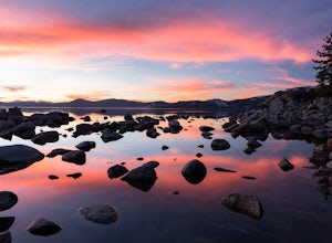
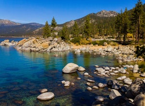
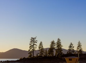
Sand Harbor Nature Trail
4.50.54 mi / 33 ft gainWhile Sand Harbor Park is a popular summer destination, the sunsets from this spot are breathtaking year round and you will have less company in the winter. The park is located right off of Highway 28 and has an admission fee of $7. There is a parking lot that fills up quickly in the summer, so a...Read more -
Markleeville, California
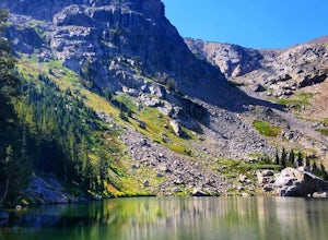
Caples Lake to Emigrant Lake
5.08.71 mi / 971 ft gainThis is an awesome out-and-back hike for the weekend warrior. The trail begins at the western-most point of Caples Lake, and takes you to Emigrant Lake. The first 2/3 of the trail is rather flat and appropriate for all skill levels. The last mile up to the lake schleps up the hill, and has some ...Read more -
Sand Harbor, Nevada
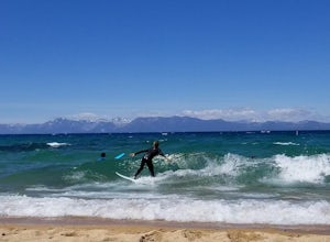
Surf Lake Tahoe at Sand Harbor
5.0Surfing Lake Tahoe is a rare opportunity which only happens when there is a lot of wind. It's nothing like surfing in the ocean. There are mountains in the background, the water is fresh, and generally the waves are small. You can see if there are waves on the drive there (if driving counter-cloc...Read more -
Glenbrook, Nevada
Castle Rock via Tahoe Rim Trail
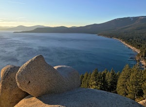
5.01.79 mi / 407 ft gainCastle Rock via Tahoe Rim Trail (The Bench) is an out-and-back trail that takes you through a nice forest located near Zephyr Cove, Nevada.Read more -
New Washoe City, Nevada
Sand Harbor Beach
4.8This is what you would call a family beach. It is clean, beautiful, and well maintained. The admission price for vehicles has gone up quite a bit, but based on the economy and the fact that this park remains clean and glass-free, you really cannot complain. The beach gets pretty crowded and they ...Read more -
New Washoe City, Nevada
SUP from Sand Harbor
4.5My favorite is to take a trip from Sand Harbor State Beach to Thunderbird Lodge along the East Shore in Lake Tahoe. Start by traveling to Sand Harbor State Beach, park in the parking lot and bring your equipment to the sandy shore. Hop on your board and begin heading south along the East Shore...Read more -
Zephyr Cove, Nevada
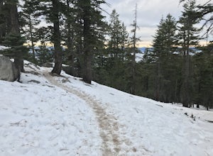
Castle Rock Loop
5.02.84 mi / 630 ft gainThis hike is located near Stateline, Nevada. The trail joins the Tahoe Rim Trail for part of the hike. Be aware that there will be snow on the trail from November - late May, early June depending on snowfall. Bring snowshoes / appropriate boots if you wish to use the trail in the winter. Experien...Read more -
Auburn, California
Hike around Coon Creek to Hidden Falls
4.58.4 mi / 968 ft gain--Important: 7-day a week parking reservations required until further notice during the COVID-19 crisis. Follow park social distancing measures. Learn more online, https://www.placer.ca.gov/6106/Hidden-Falls-Regional-Park -- Not far from California's capital is Hidden Falls Regional Park. The na...Read more -
Auburn, California
Hike the Seven Pools Loop & Vista
5.04.5 mi / 450 ft gainHidden Falls Regional Park is tucked way in the foothills of the Sierra Nevada, about an hour from Sacramento and a 20 minute drive off Interstate 80 and nearby the town of Auburn. Most visitors simply make a be-line for Hidden Falls and miss one of the more breathtaking trail loops that the park...Read more -
Incline Village, Nevada
Bike or Take a Stroll along the Tahoe East Shore Trail
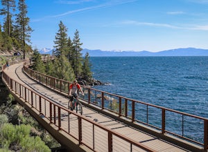
5.02.75 mi / 300 ft gainLake Tahoe's East Shore Trail is a wide paved walking and cycling path running between Incline Village and Sand Harbor State Park. Opened in 2019, the path lies completely separate from the road, sometimes hovering well above it on the mountainside, and other times running parallel to it on a bri...Read more -
Incline Village, Nevada
Monkey Rock
4.72.64 mi / 463 ft gainMonkey Rock is an out-and-back trail that takes you by a lake located near Incline Village-Crystal Bay, Nevada.Read more -
Nevada City, California
Hike the Independence Trail
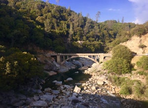
4.5Starting from the free easy access parking lot right off highway 49 you head left up the trail. You will notice two trails side by side, one wider path for wheelchair access and another slightly narrower path for hikers on foot.The trail is set on the cliff side overlooking the South Fork of the ...Read more -
South Lake Tahoe, California
Hike to Freel Peak
5.07.3 mi / 2474 ft gainMt. Tallac may be one of the Lake Tahoe Basin's most famous peaks to hike because of its fantastic views of Lake Tahoe, but my personal favorite view in Tahoe is from the top of Freel Peak or Jobs Sister. Freel Peak is the tallest peak in the Lake Tahoe Basin at 10,881 feet.From the top of Freel...Read more -
Alpine County, California
Hike Round Top Summit and Winnemucca Lake Loop
6.6 mi / 1272 ft gainThis hike begins near the Woods Lake campground. Start off by hiking towards Winnemucca Lake. You will begin your journey going through the forest beside a crystal-clear stream. Soon the trail opens up to become more open, full of all colours of wild flowers. You follow this breathtaking trail up...Read more -
Alpine County, California
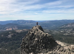
Hike The Sisters in the Mokelumnee Wilderness
8 mi / 2500 ft gainThe Sisters offer a great day hike with fun scrambling and beautiful views of the Northern Sierra, Lake Tahoe, the Mokelumnee Wilderness, and the Carson River Canyon.The trail to The Sisters begins at Woods Lake (38.6855° N, 120.0095° W), at the end of Woods Lake Road off Highway 88, 1.5 miles we...Read more -
South Lake Tahoe, California
Meiss and Round Lake via Tahoe Rim Trail
10.5 mi / 1257 ft gainMeiss and Round Lake via Tahoe Rim Trail is an out-and-back trail that takes you by a lake located near Kirkwood, California.Read more

