Palomar Mountain, California
Palomar Mountain, California, is a must-visit destination for outdoor adventurers. The area is home to some of the best trails and activities in the region, offering scenic views and adventures. Popular attractions include Palomar Observatory, the Palomar Mountain State Park, and the Doane Valley Campground. Whether you’re looking for a hike, a picnic, or a campground, Palomar Mountain has something for everyone. So go out and explore this top outdoor getaway.
Top Spots in and near Palomar Mountain
-
Oceanside, California
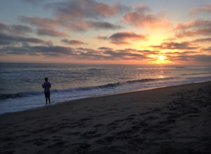
Surf Fish at Oceanside Pier
5.0There are lots of great beaches to fish at in Oceanside. You can fish any of these or you could choose to fish off the Oceanside Pier. You can catch many different species of fish from the shore such as croakers, corbina, surfperch, shovelnose guitarfish, leopard shark, halibut, and rays. In orde...Read more -
Encinitas, California
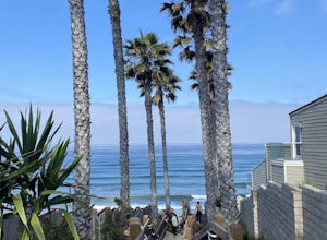
Grandview Beach
5.03 miGrandview Beach is a great spot for surfing when conditions line up (see Surfline). it's also an ideal spot to kick back and relax (bring your whole fam, dogs too). If you're looking for a little fitness, you can start at either Grandview Beach and head south along the beach to the San Elijo la...Read more -
Oceanside, California
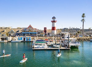
Stand Up Paddleboard the Oceanside Harbor
The Oceanside Harbor is a great place to paddle board with easy parking and access to restaurants, and all protected from the wave and swells of the ocean. Often times there are sea lions, pelicans, and other marine life swimming among the hundreds of beautiful sailboats. Paddleboards are availab...Read more -
San Diego, California
Los Penasquitos Canyon Loop
3.36.77 mi / 131 ft gainLos Penasquitos Canyon Loop After about a five minute hike on the trail you will start to enter into Los Penasquitos Canyon. Every section of the trail is different, one minute you are walking next to a stream with trees arching over the trail and another minute you are walking through an open f...Read more -
Oceanside, California
Kayak the Oceanside Harbor
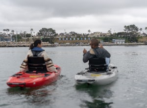
Sea kayaking from the Oceanside Harbor public kayak launch is one of the best ways to experience the Oceanside coast and the Pacific Ocean. There is ample parking along North Harbor Drive with the public kayak launch well-marked on the street. You can paddle around the harbor or you can go out pa...Read more -
Oceanside, California
Surf the South Jetty, Oceanside Harbor
4.5The jetty's of Oceanside Harbor serve to protect and stabilize the mouth of the San Luis Rey River meaning the sand and subsequent breaks remain fairly consistent and sand bars last for quite some time. After heavy rains large sand bars will form making for decent waves. It is also a great place ...Read more -
Encinitas, California
Photograph Surfers at Beacons Beach
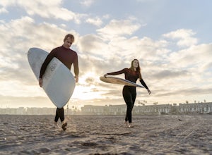
5.0Pack for a day of fun, and don’t forget your camera! Getting there is easy. You can plug “beacons beach” or Leucadia State Beach right into your gps. You’ll find it right off of Neptune Street, where you can park in the parking lot on top of the sea bluff. Walk down the windy beach trail and you ...Read more -
Encinitas, California
Stonesteps Beach
Stonesteps Beach is incredibly scenic during every season. In the winter this beach is usually fairly rocky, and in the spring/summer the sand returns. If you're looking to hang out on this beach just be sure to set up your towel or chair a good ways away from the cliffside as there is a lot of...Read more -
San Diego, California
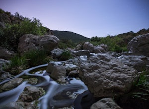
Los Penasquitos Waterfall via Los Penasquitos Canyon Trailhead
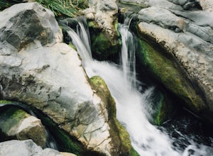
4.34.15 mi / 115 ft gainThe Los Penasquitos Preserve waterfall is a hidden gem of San Diego and a popular spot for locals within the area. The hike to the waterfall lies within a preserve of approximately 4,000 acres. There are many different trailheads that lead to the waterfall all offering a unique experience. I alwa...Read more -
Borrego Springs, California
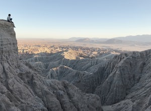
Catch a Sunset at Fonts Point
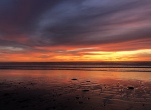
4.04 miThe best time to go to Fonts point is right before the sun sets. It is located in the desert, so be sure to dress warmly and bring a blanket or two.In order to get to Fonts Point, you'll have to drive through roughly 4 miles of sand and rocks. 4x4 is strongly recommended, but keep an eye on road ...Read more -
Palm Springs, California
Earl Henderson and Shannon Trail Loop
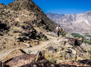
4.31 mi / 1257 ft gainThis is a short but sweet trail close to the Araby and Garstin Trails. Great views of Palm Springs and the San Jacinto Mountains. Parking area is off of Lansdale Street. From here, head down the Earl Henderson Trail and you will see where in connects with the Shannon Trail. You can choose to swit...Read more -
Palm Springs, California
South Lykken Trail to Simonetta Kennett Viewpoint
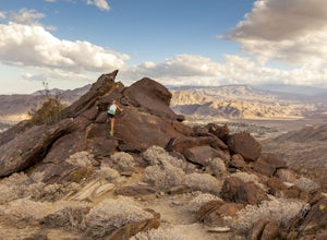
3.66.45 mi / 1654 ft gainThe South Lykken Trail is the south half of the 9.5-mile Carl Lykken Trail, which weaves along a series of mountain ridges above downtown Palm Springs. Dogs are not permitted on this trail. This section of the trail runs 3.2 miles one-way. You will gain just over 1600ft of elevation at the high...Read more -
Palm Springs, California
South Carl Lykken Trail - North Section
3.42 mi / 1076 ft gainSouth Carl Lykken Trail - North Section is an out-and-back trail that takes you by a waterfall located near Palm Springs, California.Read more -
Descanso, California
Green Valley Falls
5.00.36 mi / 98 ft gainGreen Valley Falls is an out-and-back trail that takes you by a waterfall located near Descanso, California.Read more -
Palm Springs, California
Climb at the Tramway of Mount San Jacinto
John Muir once wrote, "The view from San Jacinto is the most sublime spectacle to be found anywhere on this earth!" So it's no surprise that this is a sought after destination for hikers and climbers alike. Named after the fact that most climbers use the Palm Springs Aerial Tramway to reach this...Read more -
Palm Springs, California
Winter Climb San Jacinto from the Tram
5.08 mi / 2400 ft gainIntermediate: No snow.Advanced: Lots of snow.Expert: Snow w/ high winds and low temps. GPX: https://www.gaiagps.com/datasu... San Jacinto, at 10,834 feet, is the second-highest peak in the Southern California. It's unique in that it has a rotating tram car (think slow motion disco floor) that r...Read more

