Oakhurst, California
Oakhurst, California, known for its top outdoor adventures, offers one of the best trails for hiking - the Lewis Creek Trail. A must-visit, this scenic trail is moderately challenging, making it ideal for both beginners and seasoned hikers. As you traverse the trail, you'll come across two stunning waterfalls - Corlieu and Red Rock. The sight of the cascading water against the backdrop of the Sierra National Forest is truly captivating. The trail also offers views of unique rock formations and lush greenery. If you're lucky, you might even spot some local wildlife. Other outdoor activities in and near Oakhurst include fishing in Bass Lake and exploring the famous Yosemite National Park. So, if you're looking for the best trails and outdoor activities, Oakhurst should definitely be on your list.
Top Spots in and near Oakhurst
-
37.876736,-119.346085
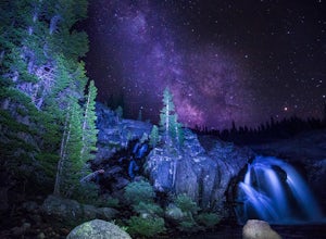
Glen Aulin
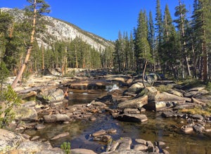
4.812.19 mi / 600 ft gainStart your hike to this waterfall oasis in the heart of the sierra at the parking lot for the Tuolumne Meadows Visitor Center. The Glen Aulin High Sierra Camp sits along the beautifully winding Tuolumne River. White Cascade an 80ft waterfall sits at the edge of camp and provides an excellent swim...Read more -
Shaver Lake, California
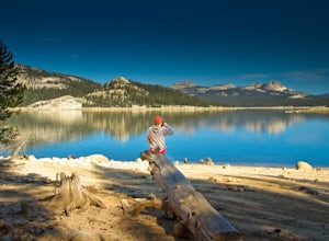
Camp at Voyager Rock Campground
4.0The paved road ends at the Maxson Trailhead parking lot on the SE side of Courtright Reservoir. The adventure starts with a glance to the left, down a rock-strewn dirt track that leads off further into the wilderness. You're wondering, "Is that the trail?" and "Do I dare?"The Dusy-Ershim Trail of...Read more -
Lakeshore, California
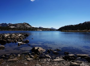
John Muir Trail: Camping at Lake Virginia
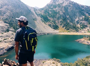
5.0You'll find an ample supply of warm, sunny campsites here. After a tough climb leading up to this area, a plunge in the cold water and sunbathing on the warm granite surrounding the lake is just what the doctor ordered. This is one of the sites that you want to plan around - even if you arrive at...Read more -
June Lake, California
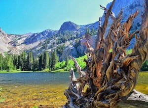
Hike to Fern Lake
5.03.5 mi / 1500 ft gainLess than 30 minutes north of Mammoth Lakes, the beauty of the region is captured even on the drive to get to the trailhead. No bathrooms at the trailhead, however the town of June Lake is a short bit away. Out of the gate, the trail quickly climbs 850 feet in just less than a mile. The way up, w...Read more -
Mammoth Lakes, California
Waterford Bridge
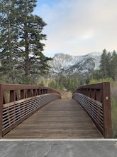
The Waterford Gap bridge creates a picturesque view of the Eastern Sierra as it crosses over Mammoth Creek as part of the town loop and connects Majestic Pines Dr, which runs up to Eagle Lodge, with old Mammoth Road, which is a main road along the south and east edges of town. This is a great spo...Read more -
Mono County, California
Gem Lake via Rush Creek
5.06.91 mi / 2313 ft gainThis hike starts next to Silver Lake in the June Lake Loop, located just north of Mammoth Lakes, CA off HWY 395. There is a parking lot near the RV park as well as street parking across the road from the trailhead. Once you head out on the hike, you'll start gaining elevation as you hike up tow...Read more -
Lee Vining, California
Hike to Agnew Lake from Silver Lake
4.04.4 mi / 800 ft gainJune Lake never ceases to amaze. In just about any weather, this particular portion of the 395 is something to be experienced in its entirety.If you are dedicating a day or two to explore the June Lake loop, then a trek to Agnew Lake is the perfect hike to throw into the plans. It is not extremel...Read more -
Mammoth Lakes, California
Lake Basin Path
5.04.43 mi / 554 ft gainLake Basin Path is an out-and-back trail where you may see beautiful wildflowers located near Mammoth Lakes, California.Read more -
Lakeshore, California
John Muir Trail: Camping at Bear Creek
The trail follows the creek for a few miles as it cascades forming very tempting pools and places to lay out. Try to resist jumping in the first pool you see and setting up camp. Although you really can't go wrong, some of the sweetest and deepest pools come after passing by a few smaller pools. ...Read more -
Mammoth Lakes, California
Inyo Craters Trail
4.01.51 mi / 253 ft gainInyo Craters Trail is a loop trail that is good for all skill levels located near Mammoth Lakes, California.Read more -
Tuolumne County, California
Photograph Dana Fork
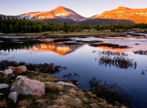
Yosemite is filled with some amazing views but rarely do you get to experience these views by yourself. This hidden treasure is located off of Tioga Pass, is near some of Yosemite’s most popular hikes, and offers an outstanding sunrise and sunset views without the crowds. Located 2.5 miles Sout...Read more -
Groveland, California
Hetch Hetchy to Rancheria Falls
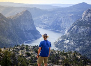
4.812.55 mi / 2500 ft gainSituated in the northwest portion of Yosemite National Park, Hetch Hetchy is is a not often visited treasure of the Central Sierra Nevada. In 1913, in an extremely controversial move, work on the O’Shaughnessy Dam was started to provide water to the growing population of San Francisco. Today, Het...Read more -
Groveland, California
Wapama Falls
4.71 mi / 623 ft gainHetch Hetchy has a completely different character than other areas of Yosemite National Park, and the hike to Wapama Falls is an excellent way to explore this relatively remote section of the park. You can only imagine what this valley looked liked before it was dammed and is second to none compa...Read more -
Mammoth Lakes, California
Sherwin Lakes Trail
5.04.42 mi / 850 ft gainJust outside the town of Mammoth Lakes, CA is the Sherwin Lakes Trailhead. An easy 10 minute drive down some dirt roads will get you to the dirt parking lot where you can safely leave your vehicle and begin your fairly easy 2.5 mile hike to Sherwin Lakes. (Valentine Lake is not much further beyon...Read more -
Mammoth Lakes, California
Valentine Lake via Sherwin Lakes Trail
5.09.76 mi / 2026 ft gainPark at the Sherwin Lakes Trailhead. Begin your ascent through scrubby foliage and old pines. Once you arrive at a junction with a bench, turn around. Note that the uphill climb is pretty decent past Sherwin Lakes, so if you're feeling overly winded after the arriving at these lakes, this may be...Read more -
Mammoth Lakes, California
Relax at Laurel Lakes
0 mi / 0 ft gainThe Laurel Lakes trip, just south of Mammoth Lakes, is a worthwhile day trip that can easily be made into a hiking/camping trip.To get there, make your way to Laurel Lakes Rd via Sherwin Creek Rd either from Old Mammoth Rd or from the 395. The road to the lakes is not too bad initially but you'll...Read more

