Nevada County, California
Top Spots in and near Nevada County
-
Truckee, California
To get here, drive along Donner Pass Rd. There is a turnoff about 100 yards away from the Donner Summit Bridge where you can park. The hike begins at a plaque for the China Wall- a large retaining wall built by Chinese railroad workers. Hike up the trail towards the tunnels. Some spots may requi...
Read more
-
Kyburz, California
4.6
1.22 mi
/ 194 ft gain
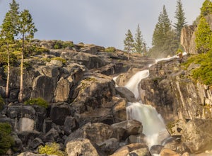
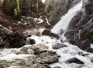
109' tall Bassi Falls is located in the Crystal Basin area of the El Dorado National Forest. These gorgeous falls at peak Springtime flow crash over enormous boulders and the water sheets over huge, flat slabs of granite. It is located off a rural, pot-holed dirt road (high clearance vehicles re...
Read more
-
Truckee, California
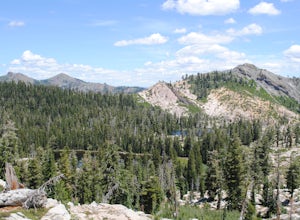
The Five Lakes Trail is located in the Granite Chief Wilderness in between Alpine Meadows and Squaw Valley ski resorts and is easily accessible at the intersection of Alpine Meadows and Deer Park roads. The 5-mile moderate trail ascends approximately 900-1000 ft. along granite canyons and pine f...
Read more
-
Truckee, California
Starting off of Lakeview chair at Alpine Meadows, head to the far right towards the sign for Outer Limits run. Traverse across the run and past the Ski Area Boundary signs on the far side. Continue through the trees where you will find a series of clearings generally full of untracked powder. The...
Read more
-
El Dorado County, California
Desolation Wilderness is just west of Lake Tahoe, a part of Eldorado National Forest. It's a very popular backpacking destination as the PCT and Tahoe Rim Trail both run through the area. There are what seems to be endless amounts of mountain lakes, creeks, and rivers that run through this area w...
Read more
-
Frazier Creek Road, California
Frazier Falls is the ultimate family hike. Because the paved trail is only a mile long round trip, this trail is open to nearly anyone. Because of its relativly easy access and family friendly nature, this trail can get busy during the summer months.To reach Frazier Falls from the town of Graea...
Read more
-
Plumas County, California
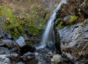
To get to the falls from the town of Graeagle, CA take Graeagle-Johnsville off Highway 89 towards the town of Johnsville. After 4.5 miles take a left on a dirt road to Jamison Mine Day Use Parking. If you go over the bridge and into the town of Johnsville, you have gone too far. Continue down th...
Read more
-
39.333252,-120.289482
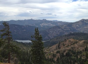
A perfect Sunday hike on your way back from a weekend at Lake Tahoe. Exit I-80 at Donner Lake and take the dirt road on the north side of I-80 to a large parking lot. A mild climb followed by a set of tougher switchbacks leads you to great views from Donner Ridge.
Although adventuring out on t...
Read more
-
Truckee, California
In the northwest corner of Donner Lake, there are public docks run by the Truckee Donner Recreation & Parks district. It's free to lay out your towels and hang out, but there is a fee for launching boats on the ramp. Come over in the late afternoon, enjoy the sunset, and go for a swim as the ...
Read more
-
Olympic Valley, California
This hike starts at Alpine Meadows Base Camp and finishes on Alpine Meadows Road. The end point is less than a half mile from the base, and an easy walk up a slight hill.
Park at base camp and head on the trail to the far right of all of the lifts. Proceed up the trail for half a mile (this is th...
Read more
-
Olympic Valley, California
This trail has lots of elevation over a short distance, be warned! The Shirley Canyon Cascades Trail is close to Olympic Valley in the North Lake Tahoe region. Dogs are allowed on this trail if kept on leash.
Read more


