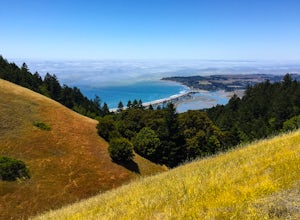
Muir Beach, California
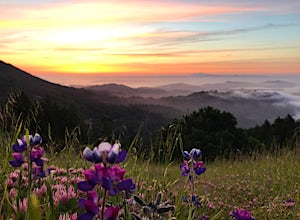
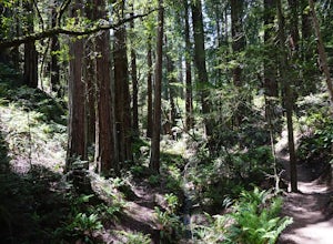
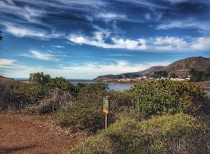
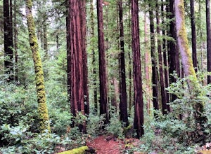
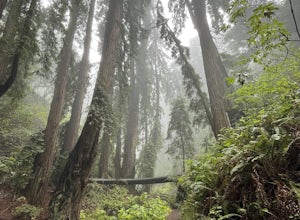
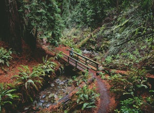
For top outdoor adventures in Muir Beach, California, the Coastal Trail is a must-visit. This scenic 3.8-mile hiking trail offers panoramic views of the Pacific Ocean and the surrounding landscape. As you walk, you'll pass by vibrant wildflowers, towering redwood trees, and unique rock formations. The trail is moderately difficult, with some steep inclines and rocky areas. It also features a beautiful wooden bridge crossing Redwood Creek. If you're lucky, you might spot some local wildlife, such as deer or hawks. Another highlight of the trail is the Green Gulch Farm Zen Center, a working organic farm and Buddhist practice center. The best Trails and Outdoor Activities in Muir Beach also include beachcombing, bird watching, and picnicking near the shore.
Top Spots in and near Muir Beach
-
Marin County, California
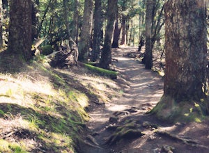
Dipsea Trail - Steep Ravine Loop
5.03.97 mi / 1204 ft gainThis is definitely a worthwhile short hike, with views of the Bay Area, Marin Headlands, Golden Gate, and the San Mateo coastline. It's a 3.8 mile loop which takes you through forests of Redwoods and out to the coastline, even above the clouds on a lucky day. The trailhead begins at the Pantoll ...Read more -
Stinson Beach, California
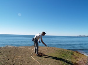
Rock Climbing Mickey's Beach
3.5Mickey's Beach is a great spot for experienced climbers to challenge themselves. The west face of the main rock is home to some local favorites like Sex Porpoises (12c), named for the apparently promiscuous local marine life. There are only a couple routes rated as 5.10s, the rest are mostly 5.12...Read more -
Mill Valley, California
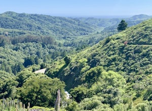
Dipsea Trail
4.613.03 mi / 3701 ft gainThe Dipsea Race is the 2nd oldest foot race in the US. The race is named after the Dipsea Inn at the end of the trail at Stinson Beach. The good news is that you can enjoy this scenic trail and its sweeping ocean views at your leisure. The bad news is that the race is only one-way. If you choose,...Read more -
Bootjack Campground, California
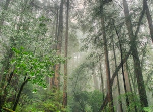
Bootjack Campground to Muir Woods
8.61 mi / 1594 ft gainGetting permits into Muir Woods can be hard, but if you want to work for it, there's a much better way to visit the National Monument. To do this loop into Muir Woods National Monument, first drive to the Bootjack Parking Area in Mt. Tamalpais State Park. The Bootjack Parking Area should be fou...Read more -
Mill Valley, California
Camp at Bootjack Campground in Mount Tamalpais State Park
4.0Bootjack Campground is located within California's Mount Tamalpais State Park. There are a couple of campsites within the park, but if you are driving on the Panoramic Highway from Mill Valley, this will be the first campground you pass. The fee is $25 fee to camp, but they have bathrooms and ru...Read more -
Mill Valley, California
Steep Ravine and Bootjack Trails Loop
5.06.66 mi / 2083 ft gainThis hike is best done in the winter and spring in order for the creeks and waterfalls to be flowing. Park at the Bootjack Campground in Mount Tamalpais State Park. Cross the road to reach the Bootjack trail. Continue on this until you reach the Alpine trail. Go right towards the Pantoll Ranger ...Read more -
Mill Valley, California
Trojan Point
4.50.25 mi / 75 ft gainThe endlessly scenic Trojan Point can be reached by taking the Panoramic Highway to Pantoll road from Stinson Beach to the west, or Mill Valley / Highway 1 to the east. It can also be reached by taking West Ridgecrest Boulevard from the north from the Fairfax-Bolinas road. Park at the large par...Read more -
Mill Valley, California
Miwok, Marincello and Bobcat Trail
8.17 mi / 1391 ft gainMiwok, Marincello and Bobcat Trail is a loop trail that takes you by a river located near Sausalito, California.Read more -
Marin County, California
Picturesque Views from Mt. Tam's East Ridge
5.0This road provides one of the most scenic views of the pacific from north of the Golden Gate. It's a little bit of a windy drive or ride along Highway 1 or Panoramic Highway (depending on which way you choose) to get to East Ridgecrest. But, if you remembered to pack a picnic, brought your friend...Read more -
Mill Valley, California
Rodeo Cove to Point Bonita Lighthouse
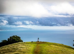
5.03.64 mi / 568 ft gainIf you're looking for a little hike and a lot of beach, you'll find your ideal combo at Rodeo Beach and Point Bonita Lighthouse. Park at the Marin Headlands Visitor Center at the head of the 0.8 mile trail to the beach. From the lighthouse to the beach, it will be another 1.5-2 miles there and ba...Read more -
Stinson Beach, California
Cataract Trail Loop
4.58.7 mi / 1670 ft gainDuration: 3.5-4 hour hike at a moderate to quick pace with a short break for lunch. Starting at an elevation of 1989ft and maxing at 2001ft, you achieve 1428 of elevation gain through a beautiful peak and valley hike. From the free Rock Springs Parking Area, the basic trailheads to follow along...Read more -
Stinson Beach, California
Dipsea Trail to Steep Ravine Trail Loop from Stinson
5.05.99 mi / 1568 ft gainDipsea Trail to Steep Ravine Trail Loop from Stinson is a loop trail that takes you by a waterfall located near Stinson Beach, California.Read more -
Mill Valley, California
Explore WWII Ruins on Point Bonita
4.30.25 mi / 200 ft gainAll throughout the Marin Headlands are WWII-era bunkers, batteries and ruins, including a complex on the hillside above the Point Bonita Lighthouse that provide amazing views of San Francisco, the Golden Gate, and the north coast.Drive out to the parking lot for the Point Bonita Lighthouse in the...Read more -
Stinson Beach, California
Matt Davis-Steep Ravine Loop
4.76.62 mi / 1726 ft gainThis loop is made up of three of the most popular Marin trails and for good reason. These trails offer not only expansive ocean views, but a variety of topography and environments. This 6+ mile loop offers up waterfalls, dense forests, redwoods, and open grasslands overlooking the pacific. Starti...Read more -
Stinson Beach, California
Matt Davis-Coastal Trail Loop
4.76 mi / 2231 ft gainThis hike is an alternative to the famous Matt Davis to Steep Ravine Loop. The hike starts at Stinson Beach, just behind the fire Station. I recommend parking at the Beach parking lot. The Matt Davis trail is one of the best constructed trails I have ever seen. After 2.2 miles, turn left on the ...Read more -
Mill Valley, California
Temelpa Trail
4.52.94 mi / 1929 ft gainThe Mt. Tam Hill Climb via Temelpa Trail is an iconic, "best-of" climb in the trail running community, drawing some of the world's greatest athletes to experience its breathtaking views and technical downhill. Surprisingly though, outside of locals and the running community, the trail remains lar...Read more

