Montgomery Creek, California
Montgomery Creek, California, is a top spot for outdoor adventures with its scenic hiking trails. The best trails and outdoor activities include the Montgomery Creek Trail, a must-visit for its unique natural features. The trail offers moderate difficulty, making it suitable for most hikers. As you walk, you'll see the clear rushing waters of Montgomery Creek, impressive rock formations, and a variety of local flora and fauna. Nearby, the Fall River Valley offers excellent fishing opportunities and breathtaking views. For those interested in bird-watching, the Pit River is a prime location to spot local bird species. These outdoor attractions in and near Montgomery Creek make it a great destination for a day of exploration and adventure.
Top Spots in and near Montgomery Creek
-
McCloud, California
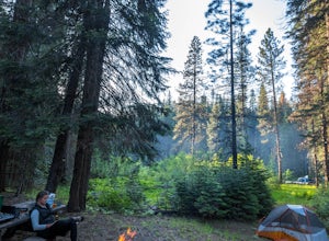
Algoma Campground
The Algoma Campsite is a free campsite along the Upper Portion of the McCloud River. It features eight sites and a pit toilet. Unlike the other campgrounds in the area, this site receives very little traffic and has no fee. To get there, take SR 89 east from the McCloud Ranger Station for 13 mi...Read more -
Redding, California
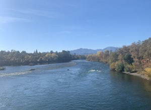
Arboretum Loop Trail
3.52.07 mi / 43 ft gainArboretum Loop Trail is a loop trail that takes you by a river located near Redding, California.Read more -
Castella, California
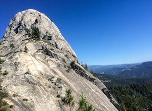
Hike Crags Trail to Castle Dome
4.45.1 mi / 2135 ft gainOne of the gems in the Shasta area, Castle Crags. You can spot these dramatic granite towers from a distance and their jagged formations beckon climbers and hikers alike. Imagine a slice of the Dolomites plucked out of Italy and placed in Northern California. Crags Trail to Castle Dome winds up t...Read more -
Shasta County, California
Devastated Area Interpretive Trail
2.00.5 mi / 16 ft gainDevastated Area Interpretive Trail is a loop trail that is good for all skill levels located near Old Station, California.Read more -
Shasta County, California
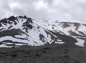
Summit Mt. Lassen via the Northeast Face
5.08 mi / 4000 ft gainThis route is perfect for those with some mountaineering skill looking to challenge themselves on either a long day climb (10-12 hours) of one of California’s most iconic peaks. 1: The approach (1500 feet of elevation gain) For the best chance of summiting, start very early, around 2-4 am. Most ...Read more -
Shasta County, California
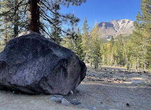
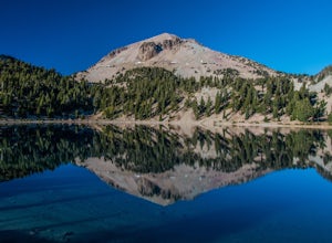
Lassen Peak
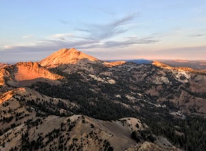
4.44.66 mi / 1936 ft gainOne of my personal favorites and a hidden gem of California that keeps circling my mind is the Lassen Peak Trail. Don't let the trail map (2.5 miles one way) deceive you and make you think this is a short trail. The elevation gain is is 2000 feet from the parking lot to the end of the peak. The a...Read more -
Shasta County, California
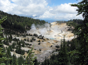
Bumpass Hell Trail
4.72.71 mi / 502 ft gainDue to hazardous snow and ice, Bumpass Hell Trail closes during the spring and may not open until July. From the Bumpass Hell Parking Area, the trail traverses the rocky slopes of Bumpass Mountain. The trail slowly ascends 200 feet with views of the valley to the west and Lassen Peak to the nort...Read more -
Shasta County, California
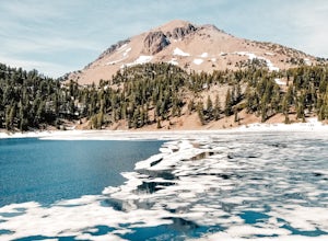
Lake Helen in Lassen Volcanic NP
5.0Lake Helen is a glacial lake in Lassen Volcanic NP. The park's winter season starts in October and runs through June. Lake Helen can be found thawing mid-June. The turquoise blue of the water comes from the minerals in it, and is mesmerizingly beautiful when thawing in pools over a snowy Lake ...Read more -
Shasta County, California
Visit Sulphur Works at Lassen Volcanic NP
4.02 mi / 200 ft gainLassen Volcanic National Park is a wonderland of lush pine forests, arid rocky terrain, boiling lakes, snow-capped peaks, and extremely diverse wildlife. I recommend at least a week to explore this underrated national park, but if you are only driving through, you can still enjoy some of the won...Read more -
Dunsmuir, California
Mossbrae Falls
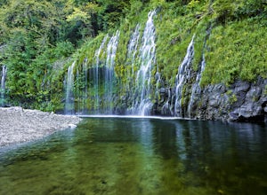
5.03.01 miDisclaimer: Hiking to the falls is trespassing. Fines can be as much as $300. If you choose to hike to the falls, you're doing so at your own risk so please be cautious and cognizant of your surroundings. If you live anywhere near Northern California or Southern Oregon, you may have heard about ...Read more -
Tehama County, California
Brokeoff Mountain Trail
4.06.93 mi / 2474 ft gainPeaking above the volcanic valley at 9235 ft, Brokeoff Mountain is only second in height to Mt. Lassen in the national park they share. Brokeoff was once a part of a larger volcano called Mt. Tehama that erupted, eventually leading to its collapse. The event left a rugged volcanic rim, now con...Read more -
Old Station, California
Bumpas Hell to Cold Boiling Lake
4.05.32 mi / 1007 ft gainBumpas Hell to Cold Boiling Lake Trail is an out-and-back trail that takes you by a lake located near Old Station, California.Read more -
Shasta County, California
Seven Lake Loop in Lassen Volcanic NP
11.54 mi / 1545 ft gainThis hike is one of my favorites for when I only have a weekend to get my nature fix. To start off, visit either the Loomis Museum, Loomis Ranger Station, Butte Lake Ranger Station, Kohm Yah-mah-nee Visitor Center, Warner Valley Ranger Station, or Juniper Lake Ranger Station and pick up a wildern...Read more -
Shasta County, California
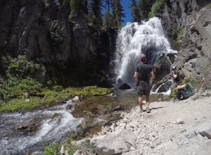
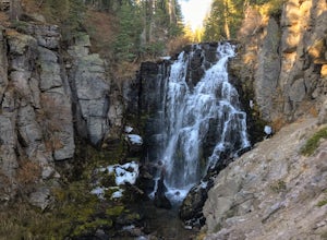
Kings Creek Falls Trail
4.02.49 mi / 495 ft gainKings Creek Falls Trail is an out-and-back trail that takes you by a waterfall located near Old Station, California.Read more -
Dunsmuir, California
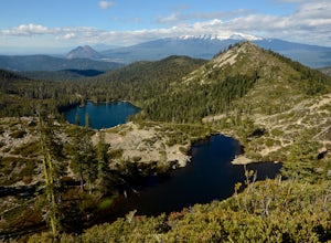
Heart Lake Trail From Castle Lake
5.02.46 mi / 719 ft gainHeart Lake Trail From Castle Lake is an out-and-back trail where you may see beautiful wildflowers located near Dunsmuir, California.Read more -
Dunsmuir, California
Hike to Heart Lake in the Klamath Mountains
4.52.2 mi / 600 ft gainScenes like this are rarely so accessible. Heart Lake is nestled in a bowl below Castle Peak, on the edge of the Castle Crags Wilderness just west of I-5 and the city of Mt. Shasta. The parking lot and trailhead are both located on the shore of Castle Lake, a much larger lake that is stunning in ...Read more

