Inyo, California
Inyo, California, is a top destination for outdoor adventures, boasting some of the best trails and outdoor activities. One must-visit is the Mount Whitney Trail, a 22-mile trail that offers scenic views of the Sierra Nevada mountain range. It's a challenging hike, known for its steep ascents and rocky terrain, but the panoramic views at the summit make it all worthwhile. The trail also passes by Mirror Lake, a crystal-clear body of water that's perfect for a refreshing dip. For a more leisurely activity, the Owens River offers excellent fishing opportunities. The river is teeming with trout and is surrounded by stunning rock formations. Inyo is also home to the Ancient Bristlecone Pine Forest, where you can marvel at some of the oldest trees in the world. These attractions make Inyo a must-visit for those seeking outdoor adventures.
Top Spots in and near Inyo
-
Inyo, California
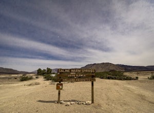
Relax at the Saline Warm Springs
5.0Starting from Panamint Springs, you can top off your gas levels (Stovepipe Wells is cheaper), and continue west on the 190 until you hit the Saline Valley Alt Route. It begins as a well maintained dirt road, but worsens as you continue into the valley. Take your time down the 45 mile road and bew...Read more -
Lone Pine, California
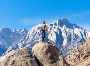
Rock Climb the Candy Store
The Candy Store is a group of boulders and small spires with around 30 climbing routes ranging from 5.6 to 5.11. The majority are trad routes with a significant portion toprope and a couple of sport. The major features/boulders are: First BoulderThe GumdropLollipop BoulderRock Candy TowerSecond B...Read more -
Inyo County, California
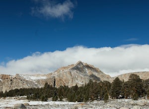
Backpack Mount Langley
5.021 mi / 4000 ft gainMt. Langley sits four hours north of Los Angeles and is one of the easier 14ers to bag in California. Mt. Whitney absorbs most of the foot traffic, so enjoy the relative quiet and seclusion.The trailhead starts at Horseshoe Meadows/Cottonwood Lakes Trailhead Campgrounds and meanders for 7.5 miles...Read more -
Lone Pine, California
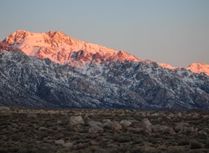
Camp at Tuttle Creek Campground
4.5Tuttle Creek Campground is a beautiful place to camp during any time of year. The campground offers uninterrupted breath taking views of the entire Eastern Sierra Nevada and Owens Valleys. Whether you are looking for a place to crash for the night while traveling down the 395, rock climbing in th...Read more -
Inyo County, California
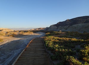
Hike the Salt Creek Interpretive Trail
5.00.9 mi / 26 ft gainThe trail is a loop boardwalk. At the furthest point, there is a sandy footpath that will lead you to a creek and will provide a more secluded experience. Interpretive signs have been placed strategically on the trail, pointing out species of interest. The endangered pupfish is found in this cree...Read more -
Little Lake, California
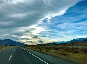
Eastern Sierra Scenic Byway
5.0197.06 mi / 9354 ft gainEastern Sierra Scenic Byway is a point-to-point trail that takes you by a lake located near Little Lake, California.Read more -
Lone Pine, California
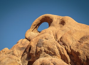
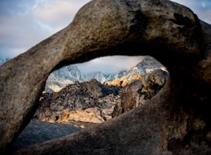
Photograph Eye of the Alabama Hills Arch
3.50.4 miThe Eye of the Alabama Hills Arch is a quick hike or drive from the popular Mobius Arch just off Movie Flat Road. The rocks around the arch offer outstanding views of the surrounding Alabama Hills and Sierra Mountains. To get to the arch follow the directions for Mobius Arch which is a great firs...Read more -
Lone Pine, California
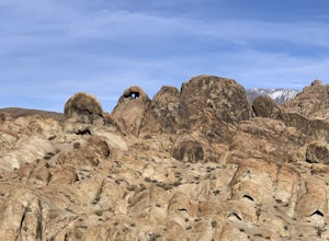
Explore The Heart Arch
A small heart shaped arch naturally formed in the bounders at The Alabama Hills, at the foothills of the Sierras. The Alabama Hills are formation of rounded rocks near the eastern Slope of the Sierra Nevada in the Owens Valley. It is a popular filming location for movie and television show produ...Read more -
The Mobius Arch Loop Trailhead, California
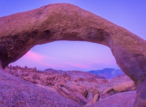
Mobius Arch Loop
4.40.63 mi / 46 ft gainThe Alabama Hills area of Lone Pine, CA is located on the eastern side of the Sierra Nevadas. As you drive along Movie Flat Road you will be surrounded by a sea of golden brown boulders of varying shapes and sizes extending in every direction. The main attraction in Alabama Hills is definitely th...Read more -
Inyo County, California
Camp in the Alabama Hills
4.8The Alabama Hills Recreation Area is a area owned by BLM and open to the public. Camping is free and you can say for a max of 14 days.The are has 100+ open desert sites that are shadowed by some of the tallest peaks in the Sierra Nevada range. And if that wasn't enough, the area was the backdrop ...Read more -
Inyo County, California
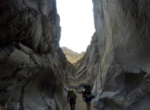
Backpack Fall Canyon
8 miThe trail head is north of Furnace Creek at the Titus Canyon parking lot which is clearly marked on any park map. On a busy weekend cars are lined up along the road leading to the parking lot which has a restroom. Note that there is no water source here. To begin the hike in, take the trail on th...Read more -
Lone Pine, California
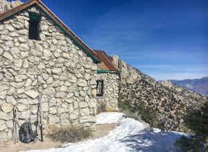
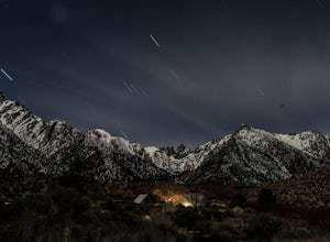
Hike to The Tuttle Creek Ashram
4.33 mi / 1500 ft gainThe Tuttle Creek Ashram is an abandoned stone building, "church" or place of enlightenment tucked away in the beautiful Eastern Sierra. Sitting at an elevation around 8000 feet, construction on the beautiful building was first started in 1928. The building took 20 years of hard manual labor to fi...Read more -
Inyo County, California
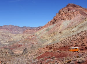
Drive into a Rainbow: Titus Canyon
4.5Get ready to drive through the center of a rainbow.Titus canyon road winds 27 gorgeous miles through the Death Valley backcountry, twisting sharply around steep rock walls and over small passes. This is an adventure for both you and your vehicle. Consider the dust accumulation on your rear window...Read more -
Inyo County, California
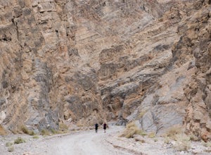
Hike into Titus Canyon
8 miIn total its about 22 miles from Stovepipe Wells. From Stovepipe, head east on the 190 and make the left for Scotty's Castle Rd. Continue another 19 miles down until you can turn off onto the dirt track that leads to Titus Canyon. When you arrive in the parking lot, you'll see Do Not Enter signs,...Read more -
Inyo County, California
Camp at Lone Pine Campground
4.0The Lone Pine Campground is located 6 miles west of Lone Pine California, and 7 miles east of Mt Whitney Portal. The campsite is nestled next to Lone Pine Creek, which is the perfect place to fish for Sierra Nevada trout. The campground sits at 6,000 feet and in clear view of Mt. Whitney, the hig...Read more -
Furnace Creek, California
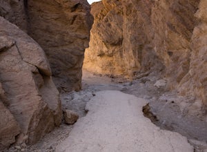
Hike Golden Canyon, Death Valley
5.01.5 mi / 685 ft gainGolden Canyon is located about 10 minutes south of Furnace Creek in Death Valley NP, on Badwater Road. Entering "Golden Canyon, Death Valley" into your phone or GPS will take you to the Golden Canyon parking area. The trail starts right off the parking lot and goes for about 1.5 miles to Red Cath...Read more

