Inverness, California
Looking for the best hiking in Inverness? We've got you covered with the top trails, trips, hiking, backpacking, camping and more around Inverness. The detailed guides, photos, and reviews are all submitted by the Outbound community.
Top Hiking Spots in and near Inverness
-
Larkspur, California
Dawn Falls Trail
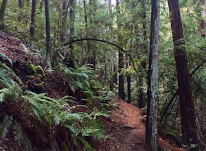
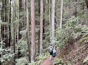
4.52.29 mi / 344 ft gainTake the Dawn Falls trail down into the Baltimore Canyon for an in-depth exploration of northern California nature. Rather than the usual dry, hardy vegetation that speckles the hills of many nearby trails, this trail is bursting with lush ferns and mossy trees as it meanders along next to Larksp...Read more -
Larkspur, California
Dawn Falls Trail Loop
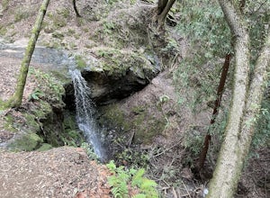
2.79 mi / 466 ft gainDawn Falls Trail Loop is a loop trail that takes you by a waterfall located near Larkspur, California.Read more -
San Rafael, California
China Camp Loop
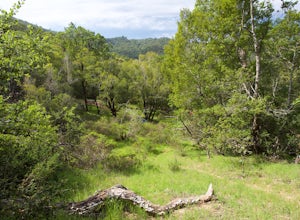
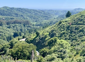
4.09.23 mi / 1716 ft gainPark at the lot in the China Camp State Park. Hop onto the Bay View trail to gain to begin the loop trail. Switchbacks take you up to a long and easy path passing through shaded and open areas. Enjoy the grasslands speckled with oak trees and coyote brush. You can see the San Rafael bay and bridg...Read more -
Larkspur, California
King Mountain Loop Trail
3.53 mi / 755 ft gainThis beautiful hike takes you around King Mountain and through the King Mountain Open Space Preserve. The first .5 miles is on an exposed gravel fire road that is fairly steep, but the loop itself slopes gently around the mountain and through the forest, providing lots of shade. This is a an ea...Read more -
San Rafael, California
Gold Hill Grade to Nike Missile Site
4.04.37 mi / 988 ft gainThe Gold Hill Grade to Nike Missile Site trail in San Rafael, California, is a moderately challenging hike. The trail spans approximately 4.37 miles round trip, with an elevation gain of about 988 feet. The path is well-maintained and marked, making it suitable for hikers of varying skill levels....Read more -
Sebastopol, California
Ragle Ranch Extended Loop
5.01.86 mi / 82 ft gainRagle Ranch Extended Loop is a loop trail where you may see local wildlife located near Sebastopol, CaliforniaRead more -
-
Sebastopol, California
Thistle - Creek Loop
5.01.45 mi / 69 ft gainThe Thistle - Creek Loop is a loop trail at Ragle Ranch. This trail is used for hiking and running and offers some cover/shade as well as great views of foliage especially in the fall months. This trail is located near Sebastopol, California.Read more -
Larkspur, California
Baltimore Canyon Via Dawn Falls Trail Loop
5.93 mi / 1309 ft gainBaltimore Canyon via Dawn Falls Trail Loop is a loop trail that takes you through a forested setting at the start, up switchbacks to Dawn Falls, and then to views of King Mountain Open Space Preserve as you loop back along Southern Marin Line Road. This is a dog friendly (on-leash) trail located ...Read more -
Mill Valley, California
Canopy, Panoramic, Redwood Trail, Sun, Dipsea Trail Loop
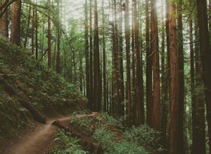
4.74.31 mi / 1145 ft gainWhile there are other, less crowded redwood groves in the Bay Area, Muir Woods National Monument is easily one of the best. It is a beautifully maintained site, with wooden footpaths meandering between towering redwoods that are between 600 – 800 years old. It’s home to some true giants, with its...Read more -
Sebastopol, California
Laguna de Santa Rosa Loop Trail
4.03.95 mi / 115 ft gainLaguna de Santa Rosa Loop Trail is a loop trail that takes you by a lake located near Sebastopol, California.Read more -
Mill Valley, California
Dipsea Trail
4.613.03 mi / 3701 ft gainThe Dipsea Race is the 2nd oldest foot race in the US. The race is named after the Dipsea Inn at the end of the trail at Stinson Beach. The good news is that you can enjoy this scenic trail and its sweeping ocean views at your leisure. The bad news is that the race is only one-way. If you choose,...Read more -
Occidental, California
LandPaths Grove of Old Trees
5.00.7 mi / 92 ft gainThe Grove of Old trees is a privately-owned preserve in Western Sonoma County that is open to the public year round. It is not large, only about 33 acres, but it makes a wonderful spot to go on a walk and to soak in the beauty of the redwoods. To get there from downtown Occidental, drive West up...Read more -
Muir Beach, California
Owl Trail
5.01.2 mi / 300 ft gainThe Owl Trail runs between Slide Ranch and the Muir Beach Overlook and is a great way to take in the breathtaking views, flora and fauna of the Northern California coast. The easiest way to access the trail is to park at the Muir Beach Overlook and to take the trail down to Slide Ranch and then...Read more -
Muir Beach, California
Pirate's Cove
5.03.43 mi / 856 ft gainPirate's Cove is an out-and-back trail where you may see wildflowers located near Mill Valley, California.Read more -
Occidental, California
Watershed View Trail
4.01.54 mi / 174 ft gainThe Watershed View Trail is located off of Coleman Valley Road and shares a trailhead with the Hunters Camp and Creekside Loop. This trail is a 1.5-mile out-and-back, which makes for a great trail to get the family out on to get some energy out. Be prepared for a muddy trail if there has been rec...Read more

