Duarte, California
Duarte, California, is home to some of the best trails and outdoor activities. The Fish Canyon Falls Trail is a top choice for hikers, boasting a scenic 4.8-mile round-trip trek. This trail features a beautiful waterfall and a variety of wildflowers during the spring season. It is of moderate difficulty, making it a must-visit for both beginner and intermediate hikers. For those interested in mountain biking, the Mount Bliss Via Van Tassel Motorway is a challenging 13.1-mile trail offering panoramic views of the San Gabriel Valley. Near Duarte, the Monrovia Canyon Park offers shaded trails and a small, charming waterfall. Whether you're looking for a leisurely walk or a vigorous hike, Duarte's outdoor adventures are sure to please.
Top Spots in and near Duarte
-
Long Beach, California
Colorado Lagoon
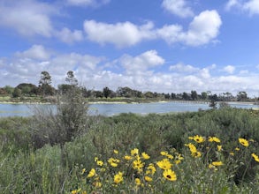
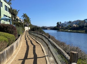
5.00.95 mi / 30 ft gainThe Colorado Lagoon is a wetland that is being restored. To make this 1 mile walk into a loop, you have to walk along sidewalks near the park. This is a very kid-friendly destination. This trail crosses over the lagoon on a boardwalk. It also accesses a sandy swimming beach with restrooms, picnic...Read more -
San Fernando, California
Pacoima Park Natural Wash Park
0.54 mi / 13 ft gainPacoima Park Natural Wash Park makes for a wonderful & pleasant walk. The entrance to the park is located at the corner of Newton St and 8th St and runs up to Foothill Blvd in San Fernando California. The park is ADA accessible and allows for dogs on leash. There are also picnic tables and dr...Read more -
Seal Beach, California
Seal Beach
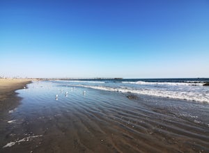
4.7Seal Beach is a small beach community between Long Beach and Huntington Beach. Right off PCH (Pacific Coast Highway), this sandy beach is a great place to chill on a hot summer day. The high winds coming off the water makes it an ideal place to kite board, surf, or simply fly a kite along the sho...Read more -
Seal Beach, California
Sunset Beach
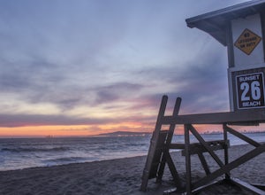
4.6Sunset Beach is located just 9 miles south of Long Beach and 6 miles North of Huntington Beach, CA on the famous Pacific Coast Highway 1. I accessed Sunset Beach from the South on I-405. I took exit 22 for Seal Beach. After the exit I turned a left/west on Seal Beach Blvd and drove for 2.6 miles ...Read more -
Los Angeles, California
Kayak the Marina Del Rey Harbor
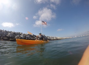
5.0The Marina Del Rey harbor covers 1.5 square miles making it the world’s largest small-craft harbor. Located southwest of Los Angeles, it is the homeport to nearly 6,500 local boats, ranging from small fishing boats, large private yachts, and even a multitude of unique houseboats. The harbor is ea...Read more -
Huntington Beach, California
Stand Up Paddle (SUP) in Huntington Harbor
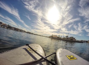
4.5Huntington Harbor is the perfect location for an easy and relaxing stand up paddle board session. Here you will get to enjoy the view of the houses by the harbor, some boats sailing by, and some low bridges you'll have to paddle through while ducking on your board (fun!).There are several stores ...Read more -
Marina del Rey, California
Ballona Lagoon
5.01.8 mi / 95 ft gainSuch a relaxing and beautiful stroll in the Marina Del Rey/Venice area! Park in Marina Del Rey #13 lot (4601 Vía Marina, Marina Del Rey, CA 90292). Don't forget to pay the meter! The rate as of 2021 is $0.50/15mins, or $6 for 24hrs on weekdays, and $8 for 24hrs on weekends. Once parked, walk ...Read more -
Huntington Beach, California
Bolsa Chica Ecological Reserve Trail
4.72.97 mi / 30 ft gainThe Bolsa Chica Ecological Reserve Trail is great for birding and wildlife viewing. If you want a longer hike, you can extend the mileage by heading down the riverbed trail. The trail is open year-round. Dogs are not allowed in Bolsa Chica. Bolsa Chica State Beach is easily accessible from Oran...Read more -
Los Angeles, California
Venice Canals
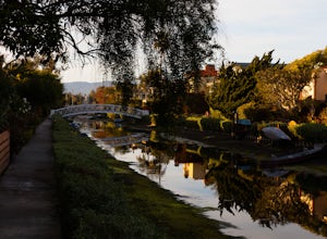
4.32.77 mi / 30 ft gainThe canals are a fun and quiet place to relax away from the hectic Venice boardwalk. Take a stroll through the canals or even get in a run! The reflections in the water are the main attraction and are great for photography. Spring, after some rain, is the best time to go as the water levels are g...Read more -
Corona, California
Skyline Drive Trail
3.09.07 mi / 1946 ft gainThis trail is shared by hikers, mountain bikers and trail runners. Rock climbers can find areas to boulder off the trail. Bring lots of extra water as this trail is rather dusty and can get very hot. This is a good training hike for those looking to do some backpacking. The trail is open year-r...Read more -
Los Angeles, California
Canyonback Nike Loop
4.06.02 mi / 1693 ft gainCanyonback Nike Loop is a loop trail that takes you by a river located near Encino, California.Read more -
Los Angeles, California
Sepulveda Basin: Upstream Of Balboa
4.03.7 mi / 75 ft gainSepulveda Basin: Upstream Of Balboa is a loop trail that takes you by a river located near Encino, California.Read more -
Lytle Creek, California
Old CC Spur Trail via Big Tree Cucamonga Rd
5.11 mi / 1138 ft gainOld CC Spur Trail via Big Tree Cucamonga Rd is an out-and-back trail that takes you by a waterfall located near Fontana, California.Read more -
Manhattan Beach, California
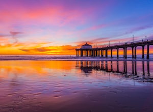
Take a Sunset Surf at Manhattan Beach
4.4Manhattan Beach Pier is a popular spot in the South Bay of Los Angeles for surfers of all levels. With its exposed beach break with consistent surf and more than 300 days of sun per year, you can pretty much always count on good weather in Manhattan Beach so you can surf no matter the season. Ide...Read more -
Los Angeles, California
Murphy's Ranch
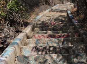
4.83.21 mi / 679 ft gainThis three-mile out-and-back hike begins at the beginning of a very nice neighborhood in Santa Monica. You will be trekking on a dirt road for about 1.5 miles until you reach some stairs that will be visible on your left-hand side. You will need to descend down those (what seem to be never-ending...Read more -
Santa Clarita, California
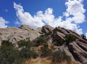
Hike the PCT and Foot Trail Loop through Vasquez Rocks
5.05.5 mi / 287 ft gainThe Pacific Crest Trail and foot trail hike is a 5-mile loop with a quick PCT branch-off that leads under the 14 freeway through a long, well-maintained (but very dark) tunnel. Pull into the well-marked parking lot and stop in the visitor center to take a look at the topographical park model and...Read more

