Desert Hot Springs, California
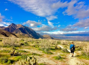
The best Trails and Outdoor Activities in Desert Hot Springs, California, offer a variety of scenic outdoor adventures for all fitness levels. The Pushawalla Palms Loop Trail is a top pick for hikers. This moderate 4.4-mile trail features a river and stunning rock formations. For a more challenging hike, the Big Morongo Canyon Preserve offers a 6-mile trek with bird-watching opportunities and unique desert vegetation. Nearby, Joshua Tree National Park is a must-visit with its iconic Joshua Trees and starry night skies. For a relaxing day, head to the Desert Hot Springs Spa, with its hot mineral water pools. Don't forget to visit the Cabot's Pueblo Museum for a slice of local history. Enjoy these outdoor activities and attractions in and near Desert Hot Springs.
Top Spots in and near Desert Hot Springs
-
Canyon Lake, California
Kabian Memorial Park Loop
5.03.48 mi / 335 ft gainKabian Memorial Park Loop is a loop trail that takes you by a lake located near Quail Valley, California.Read more -
Riverside, California
Hike Two Trees Trail
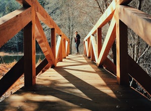
2.5 mi / 977 ft gainParking is free at the trailhead, but there is only room for approximately five cars. The trailhead is on the edge of a neighborhood, so you can park there if needed. From the parking lot, head west, and immediately veer right and across the bridge. If you go left at the first fork, you can stay ...Read more -
Mecca, California
Camp at the Salton Sea
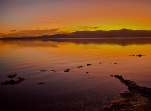
4.0The Salton Sea State Recreation Area is a good place to camp. It has bathrooms with running water and showers. There are 3 options for camping RV camping with hookups is $30 per night. Tent camping at New Camp (on the map to the right) or Mecca Beach is $20 per night. One can also camp at a more ...Read more -
San Bernardino County, California
Deep Creek Hot Springs via Bradford Ridge
4.04.75 mi / 1335 ft gainLocated in the San Bernardino National Forest and part of the Pacific Crest Trail, the Deep Creek Hot Springs are a relaxing site for those of us without access to a Jacuzzi. There are at least 4 pools of hot (not just warm) water that you can soak in with your fellow neighbor (who may or may not...Read more -
Apple Valley, California
Deep Creek Hot Springs
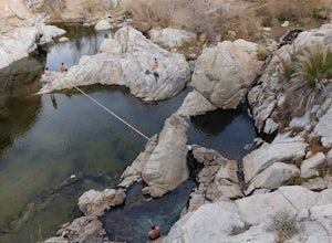
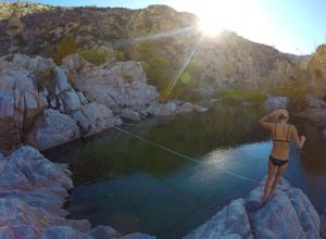
4.23.64 mi / 948 ft gainDeep Creek Hot Springs is nestled along the Mojave River at an elevation of 3,000 feet in the San Bernardino Mountains. This year-round mineral water retreat consists of three pools the size of large hot tubs, that range in temperature from around 96 degrees in the first pool to 102 in the third....Read more -
Borrego Springs, California
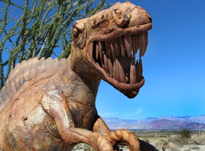
Anza Borrego Metal Sculptures
4.6Here's a map I made that marks where most of the sculptures are (here). First, you enter the park and drive through the little city of Borrego Springs. There will be a roundabout you can't miss, so you know you're on the right path. There is nowhere to park to get to the sculptures specifically,...Read more -
Palomar Mountain, California
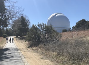
Hike to Palomar Observatory from the Palomar Observatory Campground
5.04.4 mi / 718 ft gainSituated in the Palomar Mountains of Cleveland National Forest, Palomar Observatory Campground offers many amenities for enjoyable camping and exploring the area. A portion of the campsites loop has been cleared of trees with level cement pads to allow campers to set up their own telescopes. Dr...Read more -
Borrego Springs, California
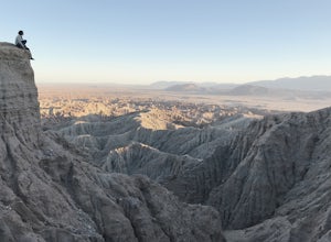
Catch a Sunset at Fonts Point
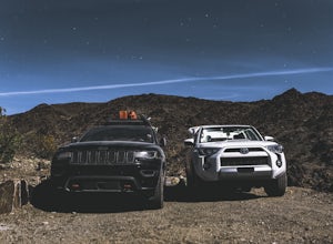
4.04 miThe best time to go to Fonts point is right before the sun sets. It is located in the desert, so be sure to dress warmly and bring a blanket or two.In order to get to Fonts Point, you'll have to drive through roughly 4 miles of sand and rocks. 4x4 is strongly recommended, but keep an eye on road ...Read more -
Borrego Springs, California
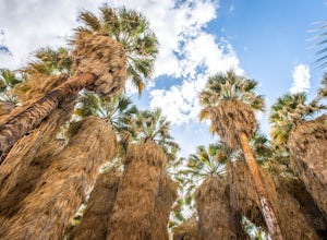
Hike through Borrego Palm Canyon
5.03.25 mi / 450 ft gainBorrego Palm Canyon Trail is located just north of the park visitor center, making it a convenient place to begin your exploration of the Anza-Borrego Desert. To reach the trailhead, drive through Borrego Palm Canyon Campground, the largest developed campground in the park, where an $8 day use fe...Read more -
Borrego Springs, California
Camping in Anza-Borrego State Park
5.0With over 600,000 acres, Anza-Borrego Desert State Park is the largest state park in the contiguous United States. 500 miles of dirt roads, 12 wilderness areas and miles of hiking trails provide visitors with an unparalleled opportunity to experience the wonders of the Colorado Desert. The park i...Read more -
Borrego Springs, California
Hike the Panorama Overlook in Anza Borrego Desert State Park
1.6 mi / 636 ft gainThis is an out and back 1.6 mile round trip with 636 feet of elevation gain. The top has excellent views of Anza Borrego. It is close to the visitor center.Read more -
Warner Springs, California
Eagle Rock via the Pacific Crest Trail
5.06.2 mi / 807 ft gainWith doing more hikes in the SoCal area, I've realized half the battle is just trying to find the damn trailhead.Technically you have 2 ways to enter this trail ... Start from 79 and add a very enjoyable extra 3ish miles, or start from the Warner Springs Fire Station, for a total 7 mile hike.We c...Read more -
Palomar Mountain, California
Hike Thunder Spring and Chimney Flat Loop
3.04 mi / 900 ft gainPalomar Mountain is the hidden gem of San Diego. Well, not so hidden per se- but most don't know that the little climb up the mountain can transport you from the prevalent brush-filled terrain of SD to a lush, diverse forest.The great thing about Palomar is that every day you visit could be compl...Read more -
Palomar Mountain, California
Hike to French Valley
5.03.8 mi / 450 ft gainWhen it comes to Palomar Mountain State Park, most people stick to Doane Lake and Upper Doane Valley. Yet on the far right of the parking lot at Doane Pond, there is actually a trailhead that will guide you to a completely different section of the park. The Lower Doane Valley trail is, in my opti...Read more -
Riverside County, California
Dispersed Camp at Old Dale Mining District
5.0It can be a pain to try and camp in Joshua Tree. Most of the sites get reserved way in advance and if you are looking for privacy or a quiet area, it's not going to happen. But you can camp outside the park on BLM land and there is a great place to do this, it's called Old Dale Mining district. ...Read more -
Borrego Springs, California
Hike to Maidenhair Falls via Hellhole Canyon in Anza Borrego Desert State Park
5.1 mi / 974 ft gainThis 5.1 mile hike begins near the visitor center of Anza Borrego Desert State Park and gains 974 feet of elevation while climbing up a canyon to a small waterfall. It is an interesting hike as you can see the plant life change as you get closer to the waterfall. There are parts where the trail g...Read more

