Chino Hills, California
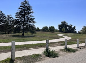
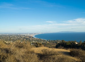
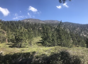
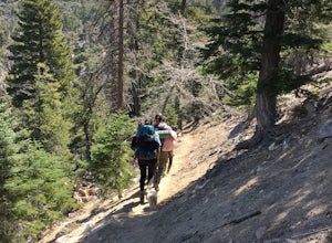
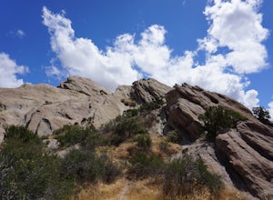
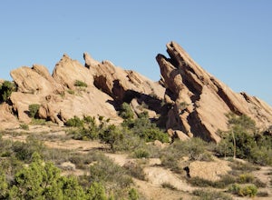
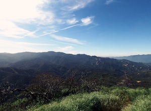
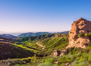
Chino Hills, California is a top spot for outdoor adventures. One of the best trails and outdoor activities is the Chino Hills State Park trail. This trail is a must-visit for its scenic views of rolling hills, vast grasslands, and striking oak trees. It's a moderate difficulty trail, ideal for those looking for a bit of a challenge. Along the trail, you may spot unique rock formations and the park's diverse wildlife. The trail also leads to a stunning viewpoint of the Santa Ana River. For more outdoor fun, head to the Prado Regional Park, where you can enjoy fishing, camping, and horseback riding. It's also home to a beautiful lake, perfect for a relaxing day of bird watching. Chino Hills offers an array of outdoor activities, making it a top destination for those seeking scenic adventures.
Top Spots in and near Chino Hills
-
Santa Monica, California
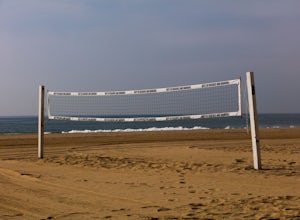
Beach Volleyball at Will Rogers State Beach
5.0At PCH and West Channel there is a tunnel that goes underneath the highway leading you directly onto the beach. In the tunnel take a left up the stairs onto the bike path. Head south 250 feet and you will hit the first set of courts but be aware you will need lines for these courts! If you want c...Read more -
Los Angeles, California
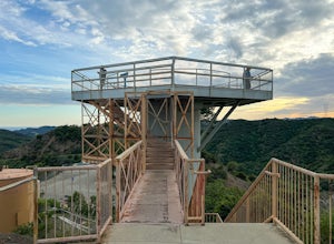
Canyonback Nike Loop
4.06.02 mi / 1693 ft gainCanyonback Nike Loop is a loop trail that takes you by a river located near Encino, California.Read more -
San Clemente, California
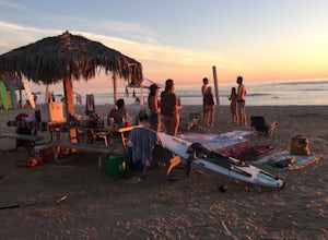
Beach Day at San Onofre
5.0This spot is no secret but it’s by far one of the best beaches California has to offer and has been regarded since the 1950s as a friendly surfing sanctuary. The beach is divided into three surf spots (named from North to South), known as “The Point,” “Old Man’s,” and “Dogpatch.” To access the be...Read more -
Los Angeles, California
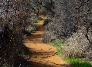
Temescal Canyon Loop
3.93.76 mi / 810 ft gainThere are a couple of different ways that you can hike in Temescal Canyon. For this one, the loop begins from Temescal Canyon Trail at Sunset Boulevard and is approximately 3.76 miles. This loop is not dog friendly. Additional Options for Hiking Temescal Canyon: The basic loop – 2.6 milesTh...Read more -
Los Angeles, California
Sepulveda Basin: Upstream Of Balboa
4.03.7 mi / 75 ft gainSepulveda Basin: Upstream Of Balboa is a loop trail that takes you by a river located near Encino, California.Read more -
Los Angeles, California
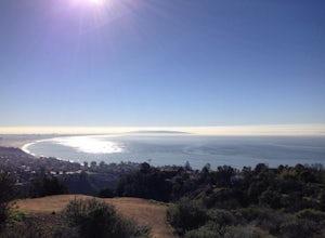
Parker Mesa Overlook via Paseo Miramar
4.25.32 mi / 1099 ft gainThis 5.4-mile out-and back trail takes off from the end of the residential area of Paseo Miramar. Once you hike a little less than a quarter mile in, you'll connect with Los Liones Canyon Trail. Continue on Paseo Miramar Trail, which in another 2.5 miles, will connect you with the Parker Mesa Ove...Read more -
Forest Falls, California
Summit Mt. San Bernardino from Angelus Oaks
16 mi / 4775 ft gainThe trailhead is somewhat 'interesting' to get to given the dirt roads are in questionable shape and some of the roads in Angelus Oaks are not easily identifiable but I didn't have any problems finding it by closely following Google Maps. Trailhead parking requires an Adventure Pass parking pe...Read more -
Angelus Oaks, California
San Bernardino Peak
3.015.82 mi / 4911 ft gainThe San Bernadino Peak Trail out of Angelus Oaks is a very challenging hike, which can either be done as a day hike or an overnight trip. Free permits are required for day hiking and overnights in the San Gorgonio Wilderness. These permits can be accessed via Sgwa.org/permits. If you choose to ...Read more -
Los Angeles, California
Los Liones Trail
5.04.41 mi / 1115 ft gainLos Liones Trail is an out-and-back trail that is moderately difficult located near Pacific Palisades, California.Read more -
Los Angeles, California
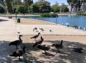
Reseda Pond Path
1.00.3 mi / 0 ft gainReseda Pond Path is a loop trail that takes you by a lake located near Reseda, CaliforniaRead more -
Malibu, California
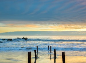
Ratner Beach
4.5Unlike most beaches in Los Angeles, this tiny little stretch of beach is usually empty, and is a little gem! It is the perfect place to get an unobstructed view of the sunset, and the sticks in the ground make for a picturesque sunset picture! Just be warned, this beach is right on PCH, so expect...Read more -
Los Angeles, California
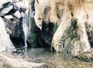
Santa Ynez Falls
3.52.25 mi / 243 ft gainThe Santa Ynez Canyon Trail is located 10 minutes away from the beach providing you the opportunity to do this hike early in the morning and spend the rest of the day hanging out at the beach. To get to the trailhead, take Vereda de la Montura Road until you reach the private residential area (th...Read more -
Santa Clarita, California
Hike the PCT and Foot Trail Loop through Vasquez Rocks
5.05.5 mi / 287 ft gainThe Pacific Crest Trail and foot trail hike is a 5-mile loop with a quick PCT branch-off that leads under the 14 freeway through a long, well-maintained (but very dark) tunnel. Pull into the well-marked parking lot and stop in the visitor center to take a look at the topographical park model and...Read more -
Agua Dulce, California
Vasquez Rocks
5.02.42 mi / 367 ft gainThis is a Natural Park Area located in Santa Clarita, within the Sierra Pelona Mountains. It features amazing diagonal rock formations, created because of the force between two tectonic plates pushing against each other. This place is a photographer's paradise, and every spot in this 900+ acre l...Read more -
Los Angeles, California
Hike to Vanalden Vista
2 mi / 300 ft gainTo get to the trailhead take Vanalden Ave until it dead ends. Follow the trail at the end of the road as it winds up into the mountains and to the left. You can easily find the trail on Google Maps, so you can use this as a guide. The trail will fork to the left after half a mile. The trail, Vana...Read more -
Topanga, California
Eagle Rock in Topanga State Park
4.45.99 mi / 1106 ft gainEagle Rock is located in Topanga State Park in the Santa Monica Mountains, and it is a unique formation that provides an amazing panoramic view of Santa Monica. On a clear day, the Catalina Islands and Palos Verdes Peninsula are visible. You can park on along the street of Entrada Rd. or pay $10 ...Read more

