Bishop, California
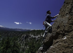
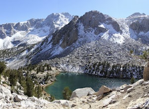
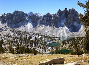
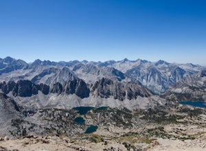
Bishop, California is a great destination for outdoor activities and attractions. Nestled between the Sierra Nevada to the west and the White Mountains to the east, Bishop offers a wide array of outdoor activities. For those who enjoy rock climbing, the Buttermilk Boulders and the Happy and Sad Boulders in the Volcanic Tablelands are popular destinations. These areas are not only for climbers but also offer scenic hiking trails, mountain biking routes, and opportunities for bird watching and photography. Bishop Creek Canyon, southwest of Bishop, is a natural wonderland of mountains, lakes, streams, forests, and waterfalls. It's a great place for camping, fishing, and simply enjoying the breathtaking scenery. Bishop has something for everyone, ensuring you get the most out of your trip and the beauty of nature.
Top Spots in and near Bishop
-
Mammoth Lakes, California
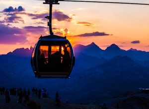
Take the Panorama Gondola to the Summit of Mammoth Mountain
3.5The summit of Mammoth at 11,053 feet provides one of the most stunning views you'll find in California. Take a scenic trip up the Panorama Gondola for a 360 degree vista of Sierra Nevada peaks and a commanding view of the San Joaquin River Valley below. Grab a lunch at the cafe at the top, then v...Read more -
Mammoth Lakes, California
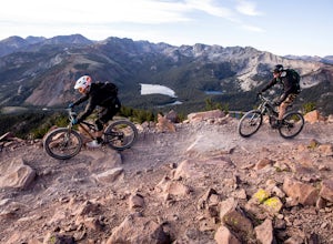
Ride Mammoth's Bike Park
4.5Mammoth Mountain Bike Park offers terrain for every ability level, boasting 3,500 acres and over 80 miles of single track. We offer the best beginner experience in the industry with the Discovery Zone, miles and miles of forested intermediate trail riding and are the leaders in building diverse a...Read more -
Mammoth Lakes, California
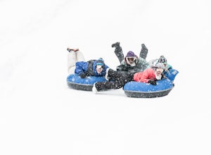
Tubing at Woolly's Tube Park
There probably isn't a more fun way to goof around and play in the snow. And we take it up a notch - skip the hiking, and catch a lift to the top, then bomb down as fast as you dare in one of our high-speed snow tubes. (Children must be 42" to tube.)Highlights include everything you could be look...Read more -
Mammoth Lakes, California
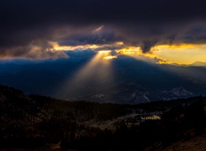
Romantic Sunset Snowcat Tour
Take a ride in a snowcat for one of the most unique excursions in the Eastern Sierra. Experience the sights and sounds of the backcountry in the heated comfort of a luxury snowcat.After a day on the slopes, celebrate a spectacular view over the Ritter Range and the Minarets with a champagne toast...Read more -
Mammoth Lakes, California
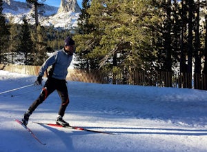
Cross Country Skiing at Mammoth Mountain
5.0Slip away to a scenic winter wonderland. Leave it all behind and explore the Mammoth Lakes Basin on Nordic skis or snowshoes. Rentals, lessons and guided tours are available from Tamarack Cross Country Ski Center so you can experience the serene beauty of alpine lakes and ancient forests on over ...Read more -
Lakeshore, California
Hike to George Lake
9.2 mi / 1050 ft gainThe hike to George Lake starts out about 4 miles after you turn off 168 onto Kaiser Pass Rd. You'll want to park at the parking lot right before Badger Flat Campground. The parking lot is easy to notice and it is located on the right hand side of the road, two pit toilets and bear lockers are loc...Read more -
Sierra, California
Hike to Mist Falls
4.59 mi / 600 ft gainThe trailhead starts at Roads' End (the end of Hwy 180). Take the Bubbs Creek/Kanawyer Loop Trail and hike east. For the first three miles the trail is relatively flat through an open pine forest. Make sure to look up as there are some great views of the valley. The granite walls on both sides of...Read more -
Sierra, California
Rae Lakes Loop
5.039.08 mi / 7316 ft gainDay one: After checking in with the park ranger and getting your required permits you will start your hike along a 1.8 mile stretch along the south fork of the Kings River. At this point, people typically go clockwise toward Paradise Valley but you can also go counterclockwise along Bubbs Creek. ...Read more -
Mono County, California
Rock Climbing at Clark Canyon
5.0Good quality volcanic tuff? That may somewhat of a contradiction, but nevertheless, Clark Canyon is indeed one of the best pocketed playgrounds in the Mammoth area.Be advised, however, that it is a little tricky getting there, and in certain spots you may need high clearance (a Prius won't make i...Read more -
Independence, California
Charlotte Lake via Kearsarge Pass
4.016.38 mi / 4078 ft gainThis adventure begins at Onion Valley Campground outside of Independence, CA. The parking is abundant and the road is snow dependent. Snow will be plowed as long as it is not currently being hit with a massive storm. Dogs are allowed on trail up to Kearsarge Pass (4.5 miles from the trailhead). H...Read more -
Independence, California
Rae Lakes via Glen and Kearsarge Passes
5.026.02 mi / 7106 ft gainThe hike starts at Onion Valley campground and includes a good deal of elevation (two passes around 12,000 feet). You start climbing at the outset, and keep climbing for the first couple of hours before hitting Kearsarge Pass. Here you begin a long descent, then traverse above some beautiful lake...Read more -
Independence, California
Summit Mt. Gould
9 mi / 3812 ft gainStarting at 9,200 feet at Onion Valley Campground, take Kearsarge Pass Trail. The hike begins immediately with a substantial increase in elevation, switchbacking up the mountain. On the way up rest and enjoy the beautiful alpine lakes, which include Gilbert, Flower, Heart and Big Pothole Lake. Fl...Read more -
Independence, California
Onion Valley to Mt. Whitney
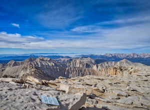
47.35 mi / 11745 ft gainTrip Guide ***Please note, all images after the first one are arranged in chronological order of the trip so you can easily follow along Day 1 Depending on where you are coming from your day one is most likely going to be setting up your car shuttle from Whitney Portal to Onion Valley. Our fi...Read more -
Independence, California
Flower Lake from Onion Valley
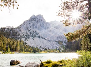
5.04 mi / 1352 ft gainMake sure to obtain an overnight permit up to 6 months in advance. You will have to pick up your permit at one of the Inyo National Forest Visitor Centers (here) before you begin. Once you have your permit in hand, drive to the Onion Valley Trailhead (see map), which is about 15 miles west of th...Read more -
Benton, California
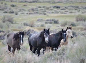
Photograph Wild Mustangs in Mono County
Since these are wild horses, tracking them can be difficult. However, they tend to play and graze in a certain field in Mono County, right outside of Mammoth Lakes and Yosemite! From CA-395 turn onto CA-120 towards Mono Lake. Take this road for 21 miles until you reach Dobie Meadows Road, a one l...Read more -
Fresno County, California
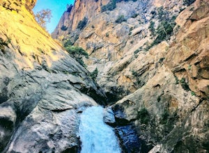
Explore Zumwalt Meadow and Roaring River Falls
4.54.1 mi / 475 ft gainThe Zumwalt Meadow and Roaring River Falls Trail is a 4.1 mile hike in Kings Canyon National Park. You feel remote, even with a road nearby. The minimal elevation change makes this a scenic hike for all skill levels. Bring bug spray and wear long sleeve hiking clothing in August, as the bugs are ...Read more

