Bermuda Dunes, California
Top Spots in and near Bermuda Dunes
-
-
Palm Springs, California
5.0
10.09 mi
/ 1404 ft gain
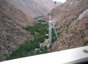
Palm Springs Tram to Idyllwild is a point-to-point trail where you may see wildflowers located near Palm Springs, California.
Read more
-
Twentynine Palms, California
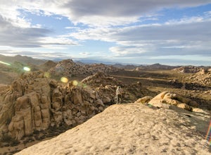
Park your car at the Echo Rock Parking Area. The trail starts next to the outhouse and heads north. As you walk through the sand, there is a large rock pile to your right, the top of that is your destination. Continue walking until you've reached the far north end of the rock formation and the...
Read more
-
-
Riverside County, California
4.0
2.43 mi
/ 131 ft gain
Hike along the easy Wall Street Mill Trail for about one mile and you will reach the mill - if you are into night photography, this is an amazing subject that will bring you back again and again, always capturing something different. Explore around off trail - there are tons of boulders to play a...
Read more
-
Riverside County, California
The Barker Damn trail is a 1.5 mile loop trail across flat terrain which makes it great for the whole family. The hike starts out from the Barker Dam parking lot which is shared with the Wall Street Mill trailhead. You can find the Barker Dam trailhead just to the left of the bathrooms. After ...
Read more
-
Twentynine Palms, California
The Willow Hole hike begins at Boy Scout trailhead and winds past and through the Wonderland of Rocks to a marshy stand of willows.
The trail is flat, but with little shade so be sure to bring lots of water! As you leave the parking lot you'll enter an expansive stand of Joshua Trees that grows...
Read more
-
-
Riverside County, California
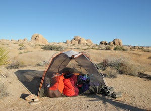
Set your tent up next to a wall of tall boulders. This campground can offer a little shade, which is key especially during the warmer months. At the campground, there are 124 first-come, first-serve sites for $10 per night. Each campsite comes available with a picnic table and fire ring. The camp...
Read more
-
Twentynine Palms, California
You can park at the Jumbo Rocks Campground to start this quick hike. There are two parking locations for this campground and it will be easiest if you use the first one you see, rather than going farther off the road and right next to the campsites. To start the hike, start going north and immedi...
Read more
-
Riverside County, California
Backcountry camping can be done at various locations throughout the park (13 different locations). Upon arrival to the park, you will be given a map and can backcountry camp from any of the locations marked with a "B".At these locations you will find a backcountry registration board. It's extrem...
Read more
-
Twentynine Palms, California
Joshua Tree National Park flawlessly combines otherworldly landscapes, incredible recreational opportunities, and a colorful, wild-west history. Before it was a national park, Joshua Tree was home to cattle rustlers, gunslingers, miners, and rugged homesteaders.
One of the most quirky characte...
Read more
-
Twentynine Palms, California
5.0
1.94 mi
/ 220 ft gain
Starting out at the Split Rock Trail parking lot, you'll see Split Rock, which might be the most visited boulder in the park. Everyone makes a visit to it and while it is absolutely amazing, it's great to take the hour or two to wander around to more amazing scenery.
Immediately upon starting t...
Read more
-
Mountain Center, California
4.5
14.57 mi
/ 4475 ft gain
Mt. San Jacinto is the second tallest peak in Southern California at 10,834’. Although this route requires a fair amount of work, the effort is more than rewarded by the expansive views, forest, meadows, and dramatic topography.
You will need an Adventure Pass ($5/day) to park at Humber Park, as...
Read more
-
Mountain Center, California
5.0
8.31 mi
/ 2238 ft gain
Tahquitz Peak via Devils Slide Trail is a moderately trafficked 8+ mile out and back trail located near Idyllwild, California. This trail is one of the most popular hikes in the San Jacinto area that features a fire lookout tower at the peak and amazing views of the valley below. At an elevation...
Read more
-
Riverside County, California
White Tank Campground is in the perfect spot to get a taste of all that Joshua Tree has to offer. As a central location to nearby hiking and climbing, it is easy to access the various parts of the park. Removed from the border of the park, White Tank doesn't attract as many visitors as the more p...
Read more

