Beckwourth, California
Top Spots in and near Beckwourth
-
Reno, Nevada
Miners Trail to The "N"
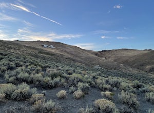
3.51.89 mi / 371 ft gainMiners Trail to The "N" is an out-and-back trail that provides a good opportunity to view wildlife located near Reno, Nevada.Read more -
Reno, Nevada
West Plateau Loop
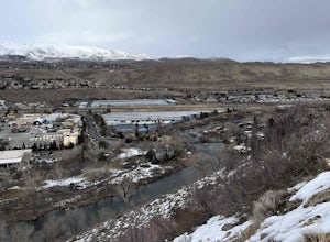
3.03.15 mi / 312 ft gainWest Plateau Loop is a loop trail that takes you by a river located near Reno, Nevada.Read more -
Reno, Nevada
Dorostkar Park Nature Trail
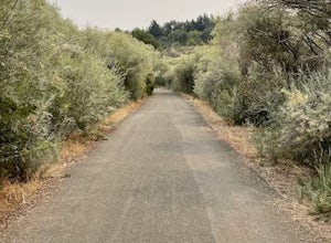
3.01.48 mi / 39 ft gainDorostkar Park Nature Trail is a loop trail that takes you by a river located near Reno, Nevada.Read more -
Reno, Nevada
May Arboretum and Herman Pond Trail
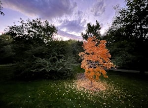
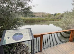
5.01.07 mi / 89 ft gainMay Arboretum and Herman Pond Trail is a loop trail where you may see beautiful wildflowers located near Reno, Nevada.Read more -
Reno, Nevada
Rock Climb The Pig
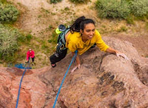
Pig Rock, aka The Pig, as its name suggests, is a pig-looking outcrop of volcanic tuff that has a variety of routes great for training and being introduced to trad climbing. There is no approach to the routes themselves, as you can park right at the base of The Pig. To get there, take Hwy 445/Pyr...Read more -
Reno, Nevada
Hunter Creek Trail
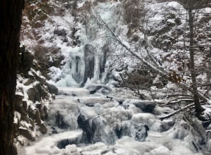
3.06.43 mi / 1362 ft gainJust outside of Reno find a fun little hike through the hills along a creek, ending at a beautiful waterfall. The trail is heavily trafficked and easy to follow with two creek crossings. It is mostly a moderate but steady climb on the way out, with just a few steep spots. The parking lot has ...Read more -
Reno, Nevada
Oxbow Nature Study Area Nature Trail
4.00.77 mi / 23 ft gainOxbow Nature Study Area Nature Trail is a loop trail that takes you by a river located near Reno, Nevada.Read more -
Reno, Nevada
Hike to the Monkey Condos and Needle Rock
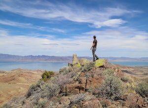
7.25 mi / 1600 ft gainThis loop takes hikers past several features and areas of interest hidden in the Virginia Mountains about 25 miles north of Reno. These mountains are scenic and rugged, with towering dramatic features that make visitors feel immensely small amidst them. Couple that with how few visitors these roa...Read more -
Reno, Nevada
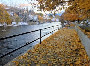
Truckee River Pathway: Downtown to Dorostkar Park
4.04.42 mi / 220 ft gainTruckee River Pathway: Downtown to Dorostkar Park is a point-to-point trail that takes you by a river located near Reno, Nevada.Read more -
Reno, Nevada
Fly Fish the Truckee River from Wingfield Park
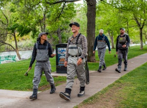
At just 121 miles long from Lake Tahoe to Pyramid Lake, the Truckee River continues to produce the largest trout in the Lower 48. Fly fisherman commonly divide the river into two reaches – East & West, and there is excellent fishing to be found right in downtown Reno all along the Truckee and...Read more -
Truckee, California
Mt. Judah Loop Trail
5.05.5 mi / 1700 ft gainA wonderful hike in Lake Tahoe is the Mt. Judah Loop Trail that offers sweeping views of Donner Lake and the surrounding Sierra Nevada mountains on the North Shore. As a resident on the North Shore, many of my recreational activities favor this side of the Lake but there are marvelous hikes in ...Read more -
Truckee, California
Cross-Country Ski to Drifter Hut
3.09.6 mi / 980 ft gainSet out from the Tahoe Donner Cross Country center in Truckee at 6,650 feet elevation. Day passes range from $12 to $34, depending on time of day and skier age, and provide access to over 100 kilometers of groomed trails. Leaving the day lodge, there are multiple options for skiing up to Drifter ...Read more -
Soda Springs, California
Summit Castle Peak
4.06 mi / 1800 ft gainThe trailhead is very easy to access as it is just off Highway 80 at the Boreal Mountain exit. When taking the exit, take a turn to the North, rather than to Boreal on the South side of the Highway. On busy summer weekends this trailhead can get quite crowded so you may have to park at the bottom...Read more -
Soda Springs, California
Hike to the Top of Andesite Peak
5 mi / 1000 ft gainFrom the trail map sign, follow the dirt path straight, following signs for the cross-country skiing route, not snowmobiling. Continue until you see a trail marker. You'll veer left to head over to the Hole in the Ground trail. Once you see another identical trail map board, you'll head left. Thi...Read more -
Soda Springs, California
Hike to the Peter Benson Hut
5.011.6 mi / 1800 ft gainDrive to the top of Donner Summit via the Old Hwy 40 and park at the Donner Summit PCT trailhead, just past the Sugar Bowl Academy Building. Begin hiking up-hill through a somewhat forested area for about 2 miles. Shortly after you pass the trail sign for the Mt. Judah Loop, you will come to a sm...Read more -
Soda Springs, California
Snowshoe to the Peter Grubb Hut
5.08 miThe Peter Grubb Hut is located below Castle Peak in Round Valley, 3 miles north of the Castle Peak trailhead near I-80. Overnight parking is available at the California Sno-Park at the Boreal-Castle Peak exit on I-80. Park on the frontage road east of the Boreal Inn and walk back under the freewa...Read more

