Auburn, California
Auburn, California has plenty of outdoor activities for anyone who loves exploring nature. With its scenic trails and outdoor activities, it's a must-visit for anyone in search of adventure. Whether you're looking for a short hike or a longer trek, there are plenty of top trails to choose from. For those wanting to stay closer to the ground, there are plenty of top parks and outdoor attractions to explore. From botanical gardens to historic sites to golf courses, there's something for everyone. So don't miss out on all the best outdoor experiences that Auburn has to offer!
Top Spots in and near Auburn
-
Carmichael, California
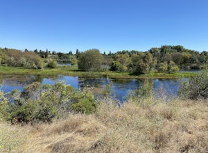
Levee Path/American River Bike Trail: Williams Pond Rec Area to Watt Ave
5.93 mi / 112 ft gainLevee Path/American River Bike Trail: Williams Pond Rec Area to Watt Ave is a loop trail that is good for all skill levels located near Carmichael, California.Read more -
Placerville, California
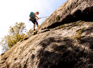
Rock Climb the Cosumnes River Gorge
5.0Consumes River Gorge is a good climbing spot that is relativity close to Sacramento, California. it is located just outside of Placerville, California, making it a must-stop climbing spot for any Sacramento or Eldorado county local. The climbing spot boasts granite climbing areas with over a hund...Read more -
Nevada City, California
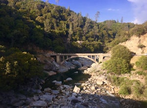
Hike the Independence Trail
4.5Starting from the free easy access parking lot right off highway 49 you head left up the trail. You will notice two trails side by side, one wider path for wheelchair access and another slightly narrower path for hikers on foot.The trail is set on the cliff side overlooking the South Fork of the ...Read more -
Penn Valley, California
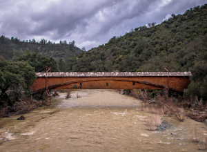
Visit the Bridgeport Covered Bridge
4.0The famed and picturesque Bridgeport Covered Bridge, spanning the width of the Yuba River, was originally built in 1862. It was an integral passage for a freight hauling route from San Fransisco to Nevada. This historic site is now protected and is no longer able to be walked or driven through as...Read more -
Nevada City, California
Swim at Edwards Crossing on the South Yuba River
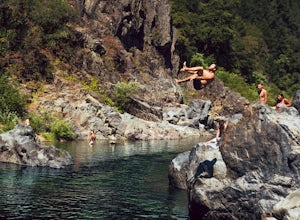
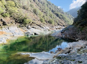
5.02.74 mi / 1302 ft gainThere are endless swimming holes on the South Yuba River the feature crystal clear water, massive granite boulders and pristine pocket beaches, particularly those lower in the foothills. Many are separated by sections of rapids, but can be reached via the growing trail system of the South Yuba Ri...Read more -
Pollock Pines, United States
Hiking the Jenkinson Lake Loop Trail at Sly Park
4.0The Jenkinson Lake Loop Trail runs along Jenkinson Lake, making for an easy, shaded, and well-marked hike that the entire family can enjoy. The full loop is over eight miles, but can be easily modified into a shorter trip, as well.Along the way, you will see a variety of activities along the lake...Read more -
Nevada City, California
South Yuba River: Edwards Crossing to Purdon Crossing
5.04.2 mi / 639 ft gainSouth Yuba River: Edwards Crossing to Purdon Crossing is a point-to-point trail that takes you by a river located near North San Juan, California.Read more -
Nevada City, California
Hike the Diggins Loop Trail
5.02.7 miCheck in and pay for your parking or present California State Parks Pass at the museum building in North Bloomfield. After paying for parking there are several different options to get onto the Diggins Loop trail. Access to the Diggins Loop trail can be found by the Park Headcounters by jumping...Read more -
Nevada City, California
Emerald Pools
4.00.68 mi / 49 ft gainEmerald Pools is an out-and-back trail that takes you by a river located near Emigrant Gap, California.Read more -
Placer County, California
Paddle Lake Valley Reservoir
A perfect adventure spot off Highway 80, Lake Valley Reservoir offers paddlers prime parking and a paved boat launch to push off on a mountain lake with an island for picnicking. Lake speed is 10 mph so fishing boats with outboards are allowed but they have to take it slow. Post launch, head le...Read more -
Nevada City, California
Bowman Road and Meadow Lake Road to Henness Pass
3.035.45 mi / 4895 ft gainBowman Road and Meadow Lake Road to Henness Pass is a point-to-point trail that takes you by a lake located near Alta, California.Read more -
El Dorado County, California
Camp at Ice House Reservoir
4.01 mi / 1 ft gainDesolation Wilderness is just west of Lake Tahoe, a part of Eldorado National Forest. It's a very popular backpacking destination as the PCT and Tahoe Rim Trail both run through the area. There are what seems to be endless amounts of mountain lakes, creeks, and rivers that run through this area w...Read more -
Kyburz, California
Hike to Bassi Falls
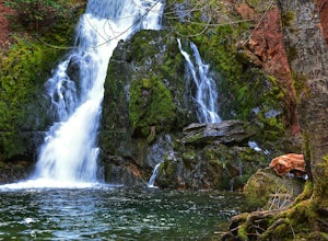
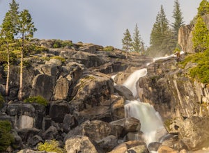
4.61.22 mi / 194 ft gain109' tall Bassi Falls is located in the Crystal Basin area of the El Dorado National Forest. These gorgeous falls at peak Springtime flow crash over enormous boulders and the water sheets over huge, flat slabs of granite. It is located off a rural, pot-holed dirt road (high clearance vehicles re...Read more -
Emigrant Gap, California
33mi Loop to Donner Lake
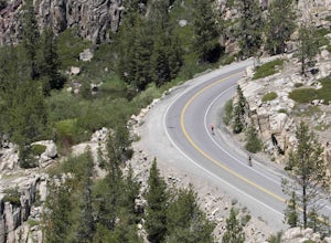
33 miWe love this 33-mile loop on old Highway 40 from Cisco Grove to Donner Lake and back. It has just about everything: a few flats, a long slow pull, rollers, a screaming downhill, a tough Alpine climb and a long, cruising downhill. Not to mention altitude. The ride starts at a little above 6,000 fe...Read more -
Emigrant Gap, California
Loch Leven Viewpoint Trail
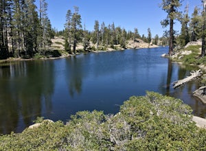
5.06.41 mi / 1522 ft gainLoch Leven Viewpoint Trail is an out-and-back trail to a viewpoint of the Loch Leven Lakes that is moderately difficult located near Truckee, California. This trail is just under 6.5 miles. If you're willing to add a little more than a mile to your adventure, you can head all the way to Upper Loc...Read more -
Loch Leven Lakes Trailhead, California
Loch Leven Lakes Trail
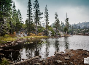
4.47.6 mi / 1480 ft gainThe trail is easy to follow for the first half mile until you get to some large slabs of granite. As you continue up the trail look for stacked rocks, these will give you a an easy route as you continue up the mountain. The trail then starts to switch back eventually leading to a small bridge. Af...Read more

