Amador County, California
Amador County, California boasts some of the best trails and outdoor activities. One must-visit spot is the Mokelumne Coast to Crest Trail. This scenic trail is moderately challenging, perfect for hikers seeking a good workout amidst natural beauty. It passes through a variety of landscapes, from lush forests to rocky terrains, offering stunning views of the Mokelumne River. Another top trail is the Cosumnes River Walk, ideal for bird-watching and peaceful strolls. For water-based adventures, Lake Tabeaud is a prime spot for fishing and boating. Near the county, the Black Chasm Cavern in Volcano offers guided tours for those interested in geology and spelunking. These outdoor adventures in and near Amador County are sure to satisfy any active traveler.
Top Spots in and near Amador County
-
South Lake Tahoe, California
Baldwin Beach
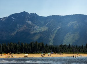
4.5Baldwin Beach offers a half mile of views of Lake Tahoe and the Sierra Nevada mountains. People come to this beach to relax and picnic. This is also a popular launch spot for those kayaking or stand up paddling to Emerald Bay. This beach is on national forest land and has a parking fee of $8.00...Read more -
South Lake Tahoe, California
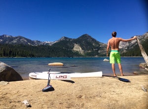
Paddle from Baldwin Beach to Emerald Bay
4.0Explore Lake Tahoe's southern shores by paddling from Baldwin Beach to Emerald Bay. There are many places to stop along the way for photographs, snorkelling, or swimming. The more popular ways to paddle from Baldwin Beach to Emerald Bay are by SUP or kayaks. But paddling a foamie can be extra f...Read more -
South Lake Tahoe, California
Boulder at D.L. Bliss State Park
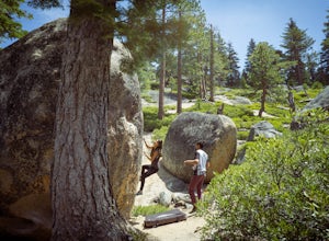
This place is bouldering heaven. Short approach to the first boulders, challenging routes for every level, good landings, and set in a beautiful area. It's like Bishop, but without the long drive.Technically you can come anytime in the season, but it is highly suggested to get a morning session i...Read more -
South Lake Tahoe, California
Chillin at Lake Tahoe's Kiva Beach
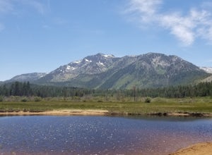
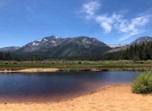
4.7Kiva is a secluded sandy crescent beach flanked by a beautiful meadow and mountain backdrop. This beach is rarely crowded and has free parking unlike other beaches in Tahoe. Kiva is a great place to bring dogs and is actually well known as a dog beach. Kiva is also accessible from the bike trail...Read more -
South Lake Tahoe, California
Paddle from Kiva Beach to Emerald Bay
4.0Grab your paddleboard or rent one from Baldwin Beach, and head out along the southwest shores of Lake Tahoe towards Emerald Bay. Enjoy the pristine blue water and keep your head up for the occasional osprey or bald eagle.Once you make it to the bay, there are plenty of places to go. You can relax...Read more -
South Lake Tahoe, California
D.L. Bliss State Park to Emerald Bay State Park via Rubicon Trail
7.21 mi / 1424 ft gainD.L. Bliss State Park to Emerald Bay State Park via Rubicon Trail is an out-and-back trail that takes you by a lake located near Tahoma, California.Read more -
South Lake Tahoe, California
Winter Paddle From Camp Richardson to Kiva Beach
Starting at Camp Rich you might get some weird looks at the start, but it is all worth it! As you look out at the lake all you see is the beautiful crystal clear water reflecting the gorgeous snow covered mountains. As you throw your board in the water you begin your paddle along the shoreline. T...Read more -
Tahoe City, California
Hike the Ellis Peak Trail
5.06.3 mi / 1660 ft gainThe Ellis Peak Trail is close to North Lake Tahoe. The trail features scenic wildflowers in the spring and summer. Dogs are allowed on the trail but must be kept on leash. Directions from Truckee: Take Highway 80 south and drive to Tahoe City - continue south on Highway 89 from Tahoe City for 4....Read more -
South Lake Tahoe, California
Bike to Star Lake
5.021 mi / 2300 ft gainStart out at the top of Corral Loop, in South Lake Tahoe, and begin the climb up Armstrong Pass. After the 4 mile ride up, you reach the split to either Mr. Toads or Star Lake. Continue another 2.5 miles up the steep and sandy climb to the saddle just below Freel Peak, the tallest peak in the bas...Read more -
South Lake Tahoe, California
Hike the Lighthouse Trail at D.L. Bliss State Park
4.82.3 mi / 505 ft gainThe Lighthouse Trail is a 2.3 mile loop located in D.L. Bliss State Park on the lower west side of world famous Lake Tahoe. To get the trail, enter the park through the main entrance ($10 parking fee), the follow the road until you see two parking areas of the left side with about 6 or 7 spots e...Read more -
South Lake Tahoe, California
Hike the Rubicon Trail
5.07 mi / 400 ft gainThe Rubicon Trail is a through hike connecting D.L. Bliss State Park and Emerald Bay State Park. You can start at either point. I opted to start at D.L. Bliss State Park to avoid the long walk uphill to catch the Nifty Fifty shuttle. Also, there is more available parking at Bliss. Park your c...Read more -
Pinecrest, California
Backpack to Bear Lake (Emigrant Wilderness)
4.58.34 mi / 705 ft gainStart by picking up your wilderness permit at the Summit Ranger Station near Pinecrest - (209) 965-3434. There's no quota for this area, so no need for reservations in advance. To reach the trailhead, make your way south from the Ranger Station and turn left onto Crabtree Rd. Drive along this ro...Read more -
South Lake Tahoe, California
Catch a Sunset at Keys Beach
Owned by the State of California, Keys Beach sits at the end of a peninsula bordered by the Tahoe Keys marina inlet to the west and the Upper Truckee River to the east. This relative isolation along with its only access being by water or a single trail keeps the beach remarkably quiet relative to...Read more -
Tuolumne County, California
Backpack Chewing Gum Lake
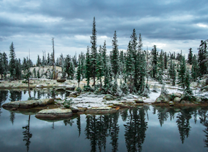
3.34.5 mi / 1000 ft gainChewing Gum Lakes is located in Emigrant Wilderness, South of Lake Tahoe and North of Yosemite, with stunning valley views and gorgeous granite faces, peaking through the tree lines of the Stanislaus National Forest. Sitting just north of Yosemite allows you to take in a portion of the beauty of ...Read more -
Tuolumne County, California
Climb Cracks at the Gianelli Edges
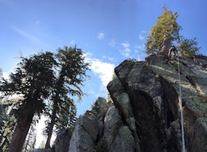
We first found the Gianelli Edges mentioned in the Climbers Guide to the Sonora Pass Highway. A short 2.5-3 hour drive from our place in Oakland, it's a great spot for a quick single day or overnight climbing excursion. Just head out 120 toward Yosemite and pull off on the 108 toward Burst Rock/G...Read more -
Arnold, California
Upper Gardner Meadow via Highland Lakes Trail
3.96 mi / 364 ft gainUpper Gardner Meadow via Highland Lakes Trail is an out-and-back trail where you may see wildflowers located near Markleeville, California.Read more

