Amador County, California
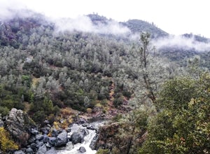
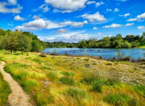
Amador County, California boasts some of the best trails and outdoor activities. One must-visit spot is the Mokelumne Coast to Crest Trail. This scenic trail is moderately challenging, perfect for hikers seeking a good workout amidst natural beauty. It passes through a variety of landscapes, from lush forests to rocky terrains, offering stunning views of the Mokelumne River. Another top trail is the Cosumnes River Walk, ideal for bird-watching and peaceful strolls. For water-based adventures, Lake Tabeaud is a prime spot for fishing and boating. Near the county, the Black Chasm Cavern in Volcano offers guided tours for those interested in geology and spelunking. These outdoor adventures in and near Amador County are sure to satisfy any active traveler.
Top Spots in and near Amador County
-
Bear Valley, California
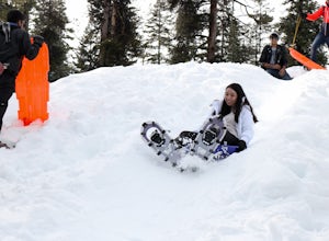
Snowshoe Bear Valley
5.0Bear Valley is a family friendly destination for snowshoeing and snow play. There are numerous trails to explore while snowshoeing. Don't be afraid to take a break and start a snowball fight! There are shops located near the resort to rent snowshoes and other snow play accessories. There are s...Read more -
Kyburz, California
Backpack to Smith Lake, Desolation Wilderness
5.05.6 mi / 1750 ft gainTo get to the Twin Lakes Trailhead from the Bay Area/Sacramento, head east on HWY 50 past Kyburz for 4 miles until you see the left-hand turnoff for Wrights Road. If coming westbound on HWY 50, this will be a right-hand turn 5 miles past Strawberry. Follow this paved road for 8 miles (watch for p...Read more -
Kyburz, California
Hike the Grouse, Hemlock, and Smith Lake Trail
5.0Starting from the Wright's Lake parking area, walk past the service gate to find the loop trail. Follow the loop trail to the signed trail for Twin, Grouse, Island, and Hemlock Lakes heading toward the right. You will begin an approximate 150 foot ascend before coming to a saddle. Another 150 foo...Read more -
Kyburz, California
Hike to Twin and Island Lakes
5.07 mi / 1600 ft gainThe Twin Lakes trail starts winding through a pine forest, with a couple bridge crossings over crystal clear trout-filled streams. The marsh-like water is very slow moving, and even though it is indeed beautiful, it is also a prime location for pesky mosquitoes in the summertime. Be sure to loa...Read more -
Auburn, California
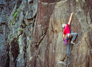
Rock Climb at the Quarry
5.02.6 mi / 800 ft gainMany thanks to the Climbing Resource Advocates for Greater Sacramento (CRAGS) and the Access Fund for their hard work in re-opening this location to make it climbing-legal. Where to Park:Put in "Parking lot for the Quarry Trail, California 193, Auburn, CA 95603"This is the designated parking lot ...Read more -
Auburn, California
Hike the Quarry Trail in the Auburn SRA
4.011 miParking in the Auburn State Recreation Area parking lot has a cost of $10.00. Free parking is allowed on the right side of the road located on the right after driving over the bridge. From here the Quarry Trail parking lot and Trail head are a short walking distance ahead on the left side of th...Read more -
Auburn, California
Hike to the North Fork Dam of Lake Clementine
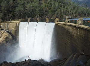
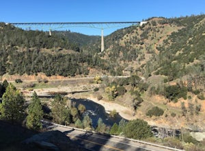
5.04 miLocated only roughly 40 minutes from Sacramento. This trail will allow you to view and walk under the 5th largest bridge in the US as well as enjoy the waterfall spectacle of a top releasing Dam. Once reaching Old Foresthill Road from the town of Auburn, drive over the smaller bridge spanning the...Read more -
Auburn, California
Hike Training Hill
4.54.5 mi / 1126 ft gainTraining Hill is a 4.5 mile loop trail that features beautiful meadows and wildflowers, with limited views to Folsom Lake and the Auburn canyon. The trail to Training Hill branches off from the Calcutta Falls trail right before the first cement bridge over the American River. Training Hill is r...Read more -
Carmichael, California
Hike through the Effie Yeaw Nature Preserve
4.34.48 mi / 161 ft gainDetailsEffie Yeaw Nature Preserve is named after Effie Yeaw, a teacher, conservationist and environmental educator who frequented the area on educational nature walks. She was one of the leading forces behind preserving the land now known as The American River Parkway.Effie Yeaw Nature Preserve...Read more -
Arnold, California
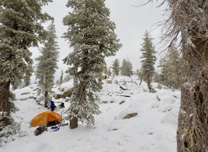
Snow Camp at Bull Run Lake
15 mi / 2400 ft gainThis is a long, beautiful snowshoe to a lake that is very accessible in the summer but almost untouched in the winter! There are a couple of ways to access the lake during the winter, but this is the most interesting: Starting at the easternmost sno-park along Highway 4 going east of Bear Valley,...Read more -
Sonora, California
Bouldering at Columbia College
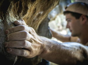
Get your hands on some limestone bouldering at this spot. There's actually two locations for bouldering in this area, Columbia College and Columbia State Park (about less than a 10 min. drive from Columbia College), but I made this specific adventure for climbing on the college. GPS Coordinates f...Read more -
Foresthill, California
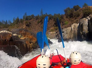
Rafting the Middle Fork American River
5.0The Middle Fork of the American River is a fun and full day of Class III/IV water rafting. You'll experience "Tunnel Chute". An very narrow 20 foot wide chute that drops you into gold miners tunnel. Other popular drops and rapids include, Kanaka Falls, Chunder, Bus Crash, Parallel Parking, 101 Ai...Read more -
Markleeville, California
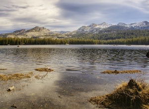
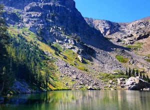
Caples Lake to Emigrant Lake
5.08.71 mi / 971 ft gainThis is an awesome out-and-back hike for the weekend warrior. The trail begins at the western-most point of Caples Lake, and takes you to Emigrant Lake. The first 2/3 of the trail is rather flat and appropriate for all skill levels. The last mile up to the lake schleps up the hill, and has some ...Read more -
Carmichael, California
Levee Path/American River Bike Trail: Williams Pond Rec Area to Watt Ave
5.93 mi / 112 ft gainLevee Path/American River Bike Trail: Williams Pond Rec Area to Watt Ave is a loop trail that is good for all skill levels located near Carmichael, California.Read more -
Twin Bridges, California
Hike Pyramid Peak via Rocky Canyon
5.07.4 mi / 4100 ft gainPyramid Peak is the tallest peak in the Crystal Range and the Desolation Wilderness, just west of Lake Tahoe. On a clear day it can be seen from the Bay Area over 150 miles away. Named for its distinct shape, Pyramid a massive heap of glaciated granite slabs and talus, and the Rocky Canyon route ...Read more -
Twin Bridges, California
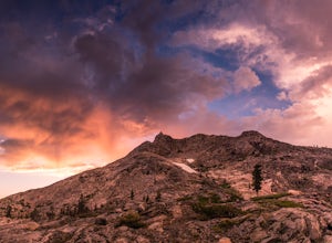
Hiking to Ralston Peak
4.07 mi / 2375 ft gainStarting at the lower lot it's less than a mile to access the trail. The hike starts off in shade through a lot of red fir forest and continues at a steady upward route. Approximately 45 mins into the hike you'll come across a sign that says you are entering desolation wilderness. The forest will...Read more

