Switzerland
Top Spots in and near Switzerland
-
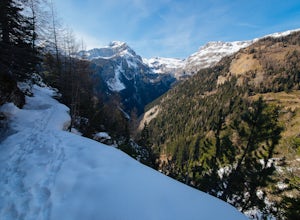
Icogne, Switzerland
Hike the Bisse du Ro to Lac de Tseuzier
11.9 mi / 1387.8 ft gainThe trail along the Bisse du Ro has its origins in the 15th-century Swiss villagers who painstakingly carved water canals out of the mountainsides in order to irrigate the farmlands of the Valais. It hugs the cliffs all the way to the Ertentse River, with stunning mountain panoramas across the va...Read more -
Simplon, Switzerland
Hike in the Laggintal
7.3 mi / 3359.6 ft gainThe journey begins in the village of Simplon Dorf, crouched on soft hills and lush green meadows under the Fletschhorn.The trail starts at the side of the Post Office in the center of Simplon Dorf and you'll ascend on a track very well marked crossing diagonally the wooded ridge overlooking the v...Read more -
Obergoms VS, Switzerland
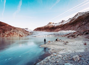
Photograph the Rhône Glacier
4.8 mi / 1686.4 ft gainHead for one of the highest mountain passes in the Swiss Alps, the Furkapass. It connects Gletsch, Valais with Realp, Uri. On the way, take a look at the awesome little church in Gletsch, a small town that looks pretty spooky during off-season! It's a perfect spot to watch or take pictures of the...Read more -
Kandersteg, Switzerland
Oeschinensee Panorama Loop, Hohtürli, and Wildi frau
10 mi / 3854 ft gainBrass Tax: Length – Variable by choice Elevation Gain – 3,584 ft Time – 4+ hours – 2 days Stay – 47-84$ / night Difficulty – Difficult Hohtürli in Swiss German means “High Little Door”. This pass sits at an elevation of 2,778 meters (9,114 feet) in the Bernese Oberland. Making it the highest pas...Read more -
Erstfeld, Switzerland
Hike Bälmeten
9 mi / 4485 ft gainBrass Tax Distance: 9 mi out and back. Elevation Gain : 4,485 ft Difficulty: Difficult Time: Full day (overnight possibility) The Hike This hike begins in the town of Schattdorf. It is relatively accessible from most major cities by train and bus. You’ll take the cable car up at Schattdorf LS...Read more -
Engelberg, Switzerland
Lutersee Loop
11.1 mi / 4216 ft gainFrom Engelberg, head towards Eugenisee and then wind through houses on the edge of town before starting the ascent to Ober Zingel. You'll have great views of the valley, and steep climbing. At Ober Zingel you can stop for a snack, or continue upwards to Lutersee. From here, you'll continue hiking...Read more -
Engelberg, Switzerland
Walenpfad Trail from Brunnihutte
6.5 mi / 1280 ft gainOften touted as one of the most scenic trails in Engelberg, and with good reason! This fairly easy hike is enjoyed in either direction, starting from the Brunnihutte, or Banalpsee. From Brunnihutte, follow signs for the Walenpfad trail and Bannalpsee. The trail provides sweeping views of Titlis ...Read more -
Engelberg, Switzerland
Fürenalp Panorama Loop
6.2 mi / 108 ft gainYou can reach the start of this hike by taking the (free) hiker bus from Engelberg to the Fürenalp cable car. Take the cable car to the top, and you'll have a long, pleasant descent towards Staüber, with stunning views along the way. Near Staüber, the trail cuts back down the valley towards Füren...Read more -
Engelberg, Switzerland
Trübsee Loop via Engelberg
8.43 mi / 2677 ft gainTrübsee Loop is a nice trail accessible from town that passes by Untertrübsee and stunning Trübsee. Enjoy views of the Engelberg valley and the incredible colors of the lake. While it can be done in either direction, the trail between Engelberg and Berghotel is quite steep, so many people prefer ...Read more -
Engelberg, Switzerland
Hike to Rugghubelhütte via Brunnihutte
6.13 mi / 1801 ft gainThe hike to Rugghubelhütte can begin either in Engelberg, or as described here, at the top of the Brunni (or Ristis) cable car. It just depends how much elevation you want to hike. From the top of Brunni, the trail meanders along the mountainside for a while before starting to climb more sharply....Read more -
Grindelwald, Switzerland
First to Balchalpsee
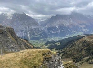
3.69 mi / 551 ft gainFirst to Balchalpsee is a 4-mile out-and-back trail. I did it on a rainy overcast day and the views were still spectacular. At a moderate pace, it took only 1 hour to complete the out-and-back hiking portion, with 20 minutes spent at the lake overlooking the glaciers. There is a fee to ride the...Read more

