Mexico
Looking for the best hiking in Mexico? We've got you covered with the top trails, trips, hiking, backpacking, camping and more around Mexico. The detailed guides, photos, and reviews are all submitted by the Outbound community.
Top Hiking Spots in and near Mexico
-
Tlachichuca, Mexico
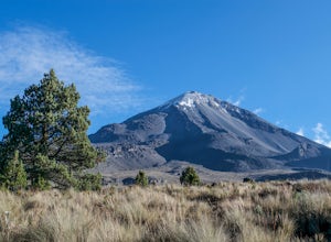
Climb the North Face of Pico de Orizaba
5.04 mi / 4921 ft gainTo be able to arrive from Mexico City to the base camp of the North face, it is necessary to take the road to Veracruz and in the tollbooth Esperanza, go toward Ciudad Serdan. Once in that direction, you should continue to the town of Tlalchichuca. If you do not have a 4x4 vehicle, you can rent o...Read more -
Ensenada, Mexico
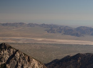
Hike the Altar Trail in the San Pedro Martir NF
4 mi / 780 ft gainTo get to San Pedro Martir National Forest, you'll take Highway 1 down towards Ensenada taking the San Telmo exit to the "Sierra San Pedro Martir" sign. It is paved all the way so that even a compact car can go. There are campgrounds and cabins to stay a night.The Altar Trail is better to start a...Read more -
Chalchicomula de Sesma, Mexico
Climb the South Face of Pico de Orizaba
4.06 mi / 3280 ft gainTo get to the south face of Pico de Orizaba, you need to go towards Ciudad Serdán, Puebla. Once you pass "Esperanza" toll station, you have to divert to the right towards Atzizintla. You have to follow this road all the way to get to the National Park. Once you are there, the road is going to div...Read more -
Corral Blanco, Mexico
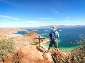
Hike from Playa el Burro
4 mi / 866 ft gainThis 4 mile out and back hike climbs almost 900 feet on the side of the hill North of Playa El Burrro. From the beach the trail is clearly visible as it zig zags up the hill. Once you reach the top, continue right along the rocky spine of the hill for panoramic views of Bahia Concepcion and the s...Read more -
20.645796,-87.631931, Mexico
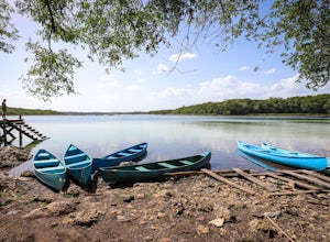
Explore Punta Laguna Monkey Reserve
1 mi / 50 ft gainUpon entering the Punta Laguna Reserve, which lies 20 kilometers north of the Coba traffic roundabout, visitors are given two options. Simple admission grants access to swimming in the large lagoon, walking the trails, and visiting the small museum that explains the species of plants and animals ...Read more -
Ciudad de México, Mexico
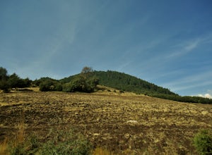
Hiking to Chichinautzin Volcano
This hike is really easy to reach from Mexico City. The departure point is a really small roadside town. From there, you can start many different hikes, but one of my favorites is the one that goes to the top of Chichinautzin. You can get to this town only by the freeway Mexico-Cuernavaca. Once ...Read more -
Oaxaca de Juárez, Mexico
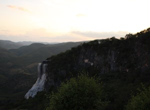
Explore Hierve El Agua
4 miThis site is a short drive from the capital city of Oaxaca state, Oaxaca de Juarez. You can hire a driver or take a combination of collectivos, first to the town of Mitla, and then further to the Hierve el Agua springs. The driver will drop you in a large parking lot after you pay an entrance fe...Read more -
Rancho Viejo, Mexico
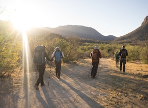
Hike the Sierra Huerfana
17 mi / 3444.9 ft gainThe Sierra Huerfana is located 1.5 hours east of Hermosillo City, in the heart of the Sonoran desert. To get here you drive to the town of Rancho Viejo, through the Ures, on a dirt road since it is more well maintained. You can start your walk from the town's plaza, or just drop a Google Maps pi...Read more -
20.631055,-89.459700, Mexico
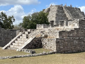
Archeological Site of Mayapan
5.00.76 mi / 49 ft gainMayapan is a Pre-Columbian Maya site a couple of kilometers south of the town of Telchaquillo in Municipality of Tecoh, approximately 40 km south-east of Mérida and 100 km west of Chichen Itza; in the state of Yucatán, Mexico.Read more


