Whetstone Horse Camp
Book this listing through our partner Recreation Gov
About Whetstone Horse Camp
Overview
Whetstone Horse Camp is located in the Andrew Pickens Ranger District in Oconee County in the western corner of South Carolina, about 13 miles northwest of Walhalla. The Chattooga River flows nearby. With over 30 miles of horseback riding trails, Whetstone serves as a base for those who like to ride and camp.Recreation
The Rocky Gap Trail on the South Carolina side of the river and the Willis Knob Horse Trail on the Georgia side provide excellent horseback riding and hiking opportunities. Visitors also enjoy exploring the nearby Chattooga River.Facilities
The campground is open year-round and has 18 sites with parking spurs for horse trailers. All of the 18 Sites are by reservation only.
Each site is equipped with a picnic table, fire ring and lantern post. Vault toilets and drinking water are provided. Hitching racks are located throughout the facility.
Natural Features
The camp is situated in the foothills of the Blue Ridge Mountains, near the Rocky Gap and Willis Knob Horse Trails.The Francis Marion and Sumter National Forests encompass more than 629,000 acres in four districts throughout South Carolina, from the lowcountry Atlantic Coast to the western foothills along the Georgia border.
Nearby Attractions
The town of Walhalla is 13 miles away. The town holds an annual Oktoberfest celebration the third weekend of October.Stumphouse Tunnel, a 19-century uncompleted railroad tunnel, and Isaqueena Falls make for interesting visits. Both are located just 20 minutes from the camp.
Whetstone Horse Camp Reviews
Have you stayed here? Be the first to leave a review!
Top Spots in or near Mountain Rest
Hike to Yellow Branch Falls
Walhalla, South Carolina
5.0
3 mi
Once you have turned into the picnic area off of Highway SC 28, you will see the open and easy parking area. The trail begins at 2 points on the southern end of the parking area. These 2 points form a small loop about 0.2 miles long, with a spur in the middle of the loop onto the main yellow branch trail. If you start at the end closest to the Highway you turn left off of the loop onto Yellow B...
Hike to Issaqueena Falls and Stumphouse Tunnel
Walhalla, South Carolina
4.0
1.5 mi
/ 250 ft gain
From Walhalla South Carolina, follow SC 28 westward 7 miles until you see Stumphouse Tunnel Park on the right-hand side of the road. Take this road halfway down, and park in the parking area on the right.
From here, you can travel a short walk to the falls overlook, or, for the more adventurous types, you can scramble down 200 feet to view the falls up close and personal at the base. After you...
Hike to Martin Creek Falls
Clayton, Georgia
5.0
0.6 mi
There are two different ways to get to this waterfall.The easiest way is through a trail in the Warwoman Wildlife Management Area. To get to this trail head, drive east on Warwoman Road from Clayton, GA. At approximately 3.5 miles, take a left onto Finney Creek Road (FS 152). You will see a sign that marks the wildlife management area. Continue past the checking station and about 0.5 miles, the...
Hike to Lee Falls
Tamassee, South Carolina
4.0
1.6 mi
The Hike: Head out through the middle of the first of three fields, crossing creeks two times as you come to them. At the end of the last field, the trail enters the woods. Hike through the woods for 0.3 mile and take the left fork, crossing a creek , and head toward the larger branch of Tamassee Creek. Hike another 0.2 mile and follow Tamassee creek upstream to a point where the trail gets ver...
Hike to Rabun Bald
Dillard, Georgia
5.0
3 mi
/ 4696 ft gain
Starting at the trailhead you begin by following the yellow blazes. The trail isn't well marked so keep an eye out for the blazes you see. The trailhead starts at the dead end of Kelsey Mountain Trail. The path immediately starts to incline and doesn't stop. A few minutes in you will come to a fork in the trail. We chose the right path and that took us straight there. At 0.8 of a mile in you r...
Hike to Big Bend Falls
Mountain Rest, South Carolina
5.0
6.5 mi
The hike to Big Bend Falls begins on the Chattooga River Trail at the Burrell's Ford Campground. To get here you take Burrell's Ford Road off of SC 107. There will be a good sized gravel parking area off to the left about 3 miles down Burrell's Ford Road. When you park the car you can walk down the gravel road at the end of the parking area. Once you get down to the camp ground, continue throug...
Camping and Lodging in Mountain Rest
Clayton, Georgia
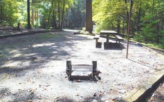
Willis Knob Horse Camp
Overview
Located in the northern Georgia mountains, far from civilization, Willis Knob Horse Campground is one of the Chattahoochee-Ocone...
Walhalla, South Carolina
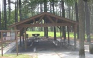
Twin Lakes Day Use Area
Overview
Twin Lakes Recreation Area is a 152-acre site consisting of a dense overstory of pines and mixed hardwoods. Day Use faciliti...
Tamassee, South Carolina
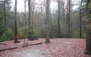
Cherry Hill Campground
Overview
Open April 1 - October 31. Cherry Hill is near the Chattooga Wild and Scenic River, and many miles of hiking trails. Site ameni...
14014 Highlands Road
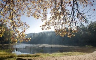
Van Hook Glade
Overview
Van Hook Glade is a scenic, secluded campground in the heart of the Nantahala National Forest. Convenient for families and angle...
Lakemont, Georgia
Lake Rabun Beach Recreation Area
Overview
Cradled in the hills of the North Georgia Mountains overlooking beautiful Lake Rabun, this developed recreation area offers camp...
Franklin, North Carolina
Standing Indian Campground
Overview
Whether traveling with an RV or tent, Standing Indian Campground is a prime place to stop for a night or spend several days in t...
Unfortunately, we don't have up-to date pricing data for this listing, but you can check pricing through Recreation Gov.
Book NowAdd your business today to reach The Outbound's audience of adventurous travelers.
Community
© 2024 The Outbound Collective - Terms of Use - Privacy Policy


