Summit Lake Stock Corral
Book this listing through our partner Recreation Gov
About Summit Lake Stock Corral
Overview
Summit Lake Stock Corral (elevation 6,700 ft.) is conveniently located on the main road of Lassen Volcanic National Park. The stock corral is within walking distance of the small but scenic Summit Lake and seven miles from the trailhead to Lassen Peak, the largest volcano in the park (elevation 10,457 ft.).Riders will find one of the park's major trails only 1/4 mile away from the stock corral. A convenient horse trail leads to the Summit Lake Ranger Station where the trailhead is located. Many more trails are in close proximity with access to Juniper Lake, Snag Lake, and Butte Lake. The Pacific Crest Trail, which runs through the park, is also accessible from the Summit Lake Stock Corral.
Recreation
The Summit Lake area is a hub for hiking and horse riding enthusiasts. Many of the park's 150 miles of trails can be accessed from this area. Located a short distance from the stock corral is the Cluster Lakes loop trail, a major trailhead into the park's interior, bypassing several alpine lakes and popular among birders. Evening programs are presented at an amphitheater within the Summit Lake Campground area.Facilities
The facility has two metal stock corrals with water troughs and water is furnished for the horses. There is no potable water so campers must bring their own water or go into the Summit Lake Campground to obtain drinking water. There are two campsites with tables, fire rings and bear lockers available. There is a vault toilet available near the site for the use of campers at the stock corral.Natural Features
The national park is known for its volcanic history, as well as its diversity of plants and animals. It contains 300 active volcanic domes and many hydrothermal features, such as mud pots and steam vents. Lassen Peak is the southernmost active volcano in the Cascades, and the second most recent volcano to erupt in the lower 48 of the United States before Mount Saint Helens.Lassen Volcanic National Park boasts over 700 species of flowering plants and 250 native species including birds, mammals, reptiles and fish. The park is at the junction of the Cascade Mountains, the Sierra Nevada Mountains and the Great Basin, providing many unique habitats.
Summit Lake Stock Corral Reviews
Have you stayed here? Be the first to leave a review!
Top Spots in or near California
Flanagan and Chamise Peak Trail
Redding, California
5.0
4.64 mi
/ 906 ft gain
The Flanagan Trail to Chamise Peak is a family-friendly hike with moderate slopes and excellent views. The trail winds through shaded woodland, offering glimpses of Shasta Dam, Lassen, and the Sacramento River. Though long, it’s manageable for all ages, with a bench halfway up and a picnic table at the peak. However, there are no restrooms or water stations available.
The trailhead begins ...
Camp at Shasta Campground
Redding, CaliforniaShasta Campground offers 27 tent/trailer campsites, picnic tables, paved loop road, vault toilets, OHV staging area, potable water, and fire rings. To get to the campground head along Keswick Reservoir, below Shasta Dam. Take I-5 north from Redding about 10 miles to Shasta Dam Blvd. Follow Shasta Dam Blvd. to Shasta Dam (dam hours are 6AM to 10PM), cross the dam, turn left and follow the road...
Hilltop Trail Head to Sundial Bridge
Redding, California
4.0
2.27 mi
/ 167 ft gain
Hilltop Trail Head to Sundial Bridge is an out-and-back trail where you may see wildflowers located near Redding, California.
Arboretum Loop Trail
Redding, California
3.5
2.07 mi
/ 43 ft gain
Arboretum Loop Trail is a loop trail that takes you by a river located near Redding, California.
Houseboat Lake Shasta
Redding, California
1 mi
/ 1 ft gain
Lake Shasta sits at the foot of infamous Mt Shasta, past the major Northern California city of Redding. From the Bay Area you can count on at least a 3.5 hour drive to get to waters edge, but the drive goes by quickly just cruising on HWY 5. There are multiple Marinas on Shasta but the largest is at Bridge Bay, ironically located right where HWY 5 crosses over Lake Shasta. There are multiple di...
Hike Kanaka Peak
Shasta County, California
4.5
3.5 mi
/ 1100 ft gain
Head to the Peltier Bridge Campground after entering Whiskeytown National Recreation Area and then go 1.1 miles along the road through the campground until you reach the trailhead for Kanaka Peak. The road from the campground is open from late spring to late fall, otherwise hikers will need to park at the campground and hike the extra 1.1 miles to the trailhead.From the trailhead, you'll cross ...
Camping and Lodging in California
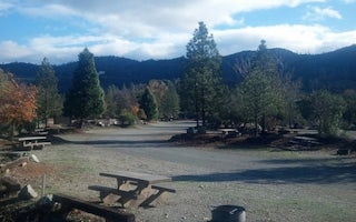
Redding, California
Shasta Campground
Camp in one of 27 tent/trailer campsites near the Chappie-Shasta Off-Highway Vehicle (OHV) area. The Chappie-Shasta OHV area offers over...
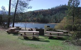
Whiskeytown, California
Whiskey Creek Group Picnic Area (Whiskeytown Nra)
Overview
Whiskey Creek Group Picnic Area is located on the northern shore of Whiskeytown Lake in Whiskeytown National Recreation Area, 1...
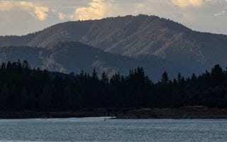
Redding, California
Mariners Point Group Campground
Overview
Mariners Point Campground is located where the Pit and Squaw arm of Shasta Lake come together and offers sites to both tent and ...
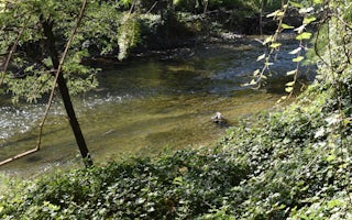
Whiskeytown-Shasta-Trinity Nra
Peltier Bridge Primitive Campground
Overview
This tent-only campground is located in the southeast corner of Whiskeytown National Recreation Area, 13.5 miles west of Redding...
Whiskeytown-Shasta-Trinity Nra
Dry Creek Group Campground (Whiskeytown Nra)
Overview
This tent-only group campground is located on the southern shore of Whiskeytown Lake in Whiskeytown National Recreation Area, 14...
Shasta, California
Brandy Creek Primitive Campground
Overview
This campground is located in Whiskeytown National Recreation Area,19 miles west of Redding, California, and three and a half ho...
Unfortunately, we don't have up-to date pricing data for this listing, but you can check pricing through Recreation Gov.
Book NowAdd your business today to reach The Outbound's audience of adventurous travelers.
Top Places
- Los Angeles
- San Diego
- Mariposa County
- South Lake Tahoe
- Inyo County
- South Lake
- San Francisco
- Yosemite
- Big Sur
- Bishop
- Mammoth Lakes
- Malibu
- Laguna Beach
- Mill Valley
- Sequoia National Park
- Twentynine Palms
- Ventura
- Mammoth
- Mammoth Lake
- Wawona
- Tuolumne County
- Newport Beach
- Riverside County
- Lake
- San Jose
- Santa Cruz
- Martinez
- Yosemite National Park
- Lee Vining
- Shasta County
- Yosemite Valley
- Point Reyes Station
- Oakland
- San Bernardino County
- San Diego County
- Truckee
Community
© 2024 The Outbound Collective - Terms of Use - Privacy Policy


