Paradise Cove
Book this listing through our partner Recreation Gov
About Paradise Cove
Overview
Paradise Cove Campground sits near Lake Isabella in the beautiful Sequoia National Forest. The 11,000-acre lake marks the division between the Upper and Lower Kern Rivers.Recreation
This year-round campground is near Lake Isabella, one of California's largest reservoirs. Water activities such as swimming, water skiing and wind surfing are popular.The lake is known for trout fishing during the colder months. Other species include black and white crappie, bluegill, catfish and largemouth bass.
Facilities
The campground has 46 sites that are divided into two sections. The upper section has back-in camp sites, and the lower section has side-by-side parking. All camp sites have a view of the lake.This facility is operated by Sequoia Recreation, a division of California Land Management and comments are welcome; comment forms are available from campground hosts or online.
Natural Features
The Sequoia National Forest, located at the southern end of the Sierra Nevada in central California, takes its name from the giant sequoia, the world's largest tree, which grows in more than 30 groves on the Forest's lower slopes.The Forest comprises about 1.1 million acres, and elevations range from about 1,000 to 12,000 feet creating precipitous canyons and mountain streams with spectacular waterfalls such as Salmon Creek Falls and Grizzly Falls.
Nearby Attractions
The campground provides a great base for day trips to the Trail of a Hundred Giants and numerous Sequoia groves in the Giant Sequoia National Monument. You cannot access Sequoia National Park with a day trip.The Giant Sequoia Mercantile offers a wide variety of books, maps, gifts, local art, camping supplies and other merchandise.
Paradise Cove Reviews
Have you stayed here? Be the first to leave a review!
Top Spots in or near Lake Isabella
Hike up Powers Peak in Kernville
Kernville, California
10 mi
/ 3200 ft gain
High Level Details:
~10 Miles Round Trip~3,200 feet total elevation gain for tripTrailhead elevation: 2,811 feetHighest Point on the trail: Powers Peak, 5,778 feetEstimated Time to complete: 4-5 hoursNo water source along the way, so bring plenty of water Dog friendly? Yes! We love bringing Lincoln on this hike and there is hardly ever anyone on itNo Permits needed
Camping and Lodging Informati...
Remington Hot Springs
Kern County, California
2.0
0.27 mi
/ 36 ft gain
...One thing about hot springs is that no matter where it may be, they always bring an attraction of people. I can honestly say I don't think I've ever been to a hot spring that didn't gather more then 20+ people in a single sitting. I mean, in all seriousness aside, what's not to like about a bathtub in nature!
Getting there: Coming from Lake Isabella, take the Borel Road exit (just off the 1...
Remington Ridge Trail
Kern County, California
11.45 mi
/ 3927 ft gain
To get to the trailhead, take Highway 178 and turn onto Borel Road, then turn onto Kern Canyon Road and follow the road. It might be easiest to put the Hot Springs into Google Maps and use that to navigate you to the parking lot. Park in the lot and walk across the road, where you'll see a sign labeled Remington Ridge Trail. This trail can be as long or as short as you want since you'll immedia...
Sunday Peak Trail
Posey, California
1.64 mi
/ 1060 ft gain
This short and easy summit is located just outside of Kernville, California. To get there, follow Highway 178 towards Kernville and turn left on Highway 155 towards Wofford Heights. After a long, steep incline you’ll reach the top of Greenhorn Summit, marked by large parking areas on either side. Turn right onto 24S15 (Forest Road 90) and you’ll see a sign for a number of trailheads – including...
Hike the Mill Creek Trail to Breckenridge Road
Bakersfield, California
7.5 mi
/ 3000 ft gain
Starting at about 2000 elevation this hike is very gentle and nice for the first 2 miles. On the third mile it is a steep climb with short lengths of level ground the rest of the way. The junction at Breckenridge Road is at about 5500 elevation. If you hit the trail in the winter, there are some beautiful views, but they come at a cost - the trail is full of snow and mud which makes it very sli...
Camp at Lower Springhill
Kernville, CaliforniaThe Lower Springhill Campground is a primitive campsite situated along the Kern River in the southern area of Sequoia National Forest. Since this is a primitive campground, there is no potable water, bathrooms or garbage service. You must pack out what you bring in.The campground is easily accessible from Mountain Highway 99, which cuts through the National Forest. There are no established camp...
Camping and Lodging in Lake Isabella
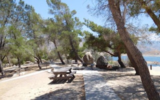
Lake Isabella, California
French Gulch
Overview
French Gulch Campground sits 3 miles from the western shores of Lake Isabella, a 27-acre reservoir off the Kern River, in the ex...
Lake Isabella, California
Boulder Gulch
Overview
Boulder Gulch Campground is nestled in the foothills of the high desert at an elevation of 2,650 feet, just a short drive from L...
Lake Isabella, California
Hungry Gulch
Overview
Hungry Gulch Campground sits 3 miles from Lake Isabella in the Sequoia National Forest of California. Visitors enjoy swimming, w...
Lake Isabella, California
Pioneer Point
Overview
Reservations not being accepted. Pioneer Point is a high-desert campground near Lake Isabella in the Sequoia National Forest. Th...
Wofford Heights, California
Tillie Creek
Overview
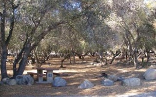
Tillie Creek campground is nestled in oak trees on the shores of Lake Isabella, a popular destination for water activities, espe...
Wofford Heights, California
Live Oak South
Overview
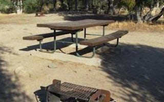
Reservations not being accepted. Live Oak South Campground is located across the road from Lake Isabella, a popular destination...
Unfortunately, we don't have up-to date pricing data for this listing, but you can check pricing through Recreation Gov.
Book NowAdd your business today to reach The Outbound's audience of adventurous travelers.
Community
© 2024 The Outbound Collective - Terms of Use - Privacy Policy


