Lake Cleveland East Side
Book this listing through our partner Recreation Gov
About Lake Cleveland East Side
Overview
Lake Cleveland Campground is a very popular summer recreational facility. Located next to its namesake, the campground is divided into the East Side and West Side loops. Very popular with residents of local communities, the campground is often full every weekend from early July to Labor Day.Recreation
Fishing, kayaking, hiking and swimming are all popular activities within the Lake Cleveland area during the summer months. Non-motorized boating and floating is allowed on Lake Cleveland. Motorized recreation is limited to system roads and trails; no cross-country motorized travel is allowed.Facilities
Seventeen camping sites are located in the East campground loop, seven of which are reservable, the remaining ten are first-come, first-served. The East side of the lake is best suited for large RVs and trailers. Nine campsites are available on the West side of the lake on a first-come, first-served basis. Trailers are not advised on the West side of the lake because the turn-around is very tight (limited space due to steep terrain).Natural Features
At an elevation of 8,300 feet, the campground facility is located in an alpine lake basin below Mt. Harrison which has an elevation of 9,240 feet. Late season snowdrifts on the county road and in the campground often block access until early to mid-July. The campground is near the timberline and alpine wildflower meadows. Expansive views north across the Snake River Plain and south into Utah and Nevada can be found near the campground.Nearby Attractions
Two miles from Lake Cleveland, Mt. Harrison has a fully functional fire lookout tower. Nearby Pomerelle ski area offers lift-served access to mountain bike and hiking trails. Two miles away, Twin Lakes Campground offers equestrian facilities and access to the Skyline Trail which is open for hiking, horseback riding, mountain biking and dirt bikes.Lake Cleveland East Side Reviews
Have you stayed here? Be the first to leave a review!
Top Spots in or near Albion
Independence Lakes Trail
Malta, Idaho
7.71 mi
/ 1503 ft gain
Independence Lakes Trail is an out-and-back trail that takes you by a lake located near Albion, Idaho.
Slackline in Castle Rocks
Castle Rocks State Park, IdahoAs soon you enter Castle Rocks, you hit the Lodge at Caste Rock Ranch, a century-old ranch house completely remodeled and available to be reserved year round. It has a beautifully groomed lawn area with shade trees that makes for a perfect spot to enjoy an afternoon of slack lining.
There are a few spots to set up, but we went across the main section of lawn that offered a gorgeous backdrop ...
Photograph Lower Goose Creek Reservoir
Cassia County, IdahoWhile this lake is out of the way, the drive through rural parts of Burley is worthwhile. From Heyburn drive 27 south to the small village of Oakley. Here you will follow W 1800 S a few blocks to S 600 W to the rustic Trapper Creek Road, which is more like a stout cattle trail.
Drive down to the rocky shore or catch the beautiful vantage from the upper bends of the roadway.
Drop in your boat, o...
Camp and Climb at Breadloaves in City of Rocks
City of Rocks National Reserve, IdahoThere aren’t too many places that offer up the isolation, serenity, and climbing abundance that City of Rocks does. As soon as you enter in the park, your eyes will be jumping from one rock formation to another, battling with yourself as to where to start! We stopped into the visitor center to pick the brains of the rangers on where the best place to set camp close to epic climbing.
Without...
Hike Eagle Loop
Twin Falls County, Idaho
4.5
2.5 mi
This is a well-maintained trail that's fairly easy. You hike through a forested area to eventually reach the top of a sage-covered ridge offering expansive views of the surrounding area before descending back down to a lovely meadow and more forest. You're likely to be the only person/group on the trail on any given day, and it's great for kids/dogs.To get there, head south from Kimberly or Han...
Mountain Bike at Indian Springs
Kimberly, IdahoA total of 18 trails that you can connect for your ride. For flowy single track ride Lower Sugarloaf, Swamys, or Dry Gulch. For technical ride Brennan, Hot Shot, Upper Sugarloaf, or Backdoor. Trail maps at https://www.google.com/maps/d/viewer?msa=0&mid=zNWx9iR6KKmY.kbh0RThbxRSc
Camping and Lodging in Albion
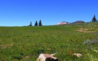
Albion, Idaho
Thompson Flat
Overview
Thompson Flat Campground is located high in the Albion Mountain Range of southern Idaho, near the towns of Declo and Albion. Vis...
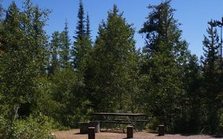
Cassia County, Idaho
Porcupine Springs
Overview
Porcupine Springs Campground is located along the scenic Rock Creek Road, in southern Idaho. It sits at an elevation of 6,950 fe...
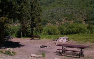
Kimberly, Idaho
Lower Penstemon
Overview
Lower Penstemon Campground is located along the scenic Rock Creek Road, in southern Idaho, at an elevation of 6,600 feet. Visito...
Jerome, Idaho
Twin Falls / Jerome KOA Holiday
On the way or stay, we are your ideal KOA. Close to the interstate but a world away, it is perfect for an easy in/easy out overnight or a...
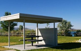
Holbrook, Idaho
Curlew Campground
Overview
Curlew Campground is located just seven miles north of Snowville, Utah, and fewer than 10 miles south of Holbrook, Idaho. The ca...
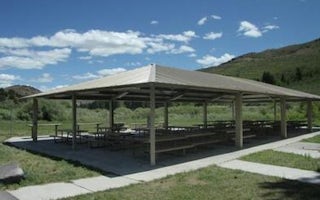
Pocatello, Idaho
Mink Creek Group Site Campground
Overview
Mink Creek Group Site Campground is located just 12 miles south of Pocatello, Idaho, along the Bannock Highway. The Mink Creek a...
Unfortunately, we don't have up-to date pricing data for this listing, but you can check pricing through Recreation Gov.
Book NowAdd your business today to reach The Outbound's audience of adventurous travelers.
Community
© 2024 The Outbound Collective - Terms of Use - Privacy Policy


