Ferron Reservoir
Book this listing through our partner Recreation Gov
About Ferron Reservoir
Overview
Ferron Campground is located next to Ferron Reservoir. It sits just below the ridgeline of the Wasatch Plateau, at an elevation of 9,400 feet. Visitors enjoy fishing, canoeing and exploring many local trails.Recreation
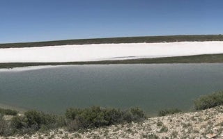
Ferron Reservoir is adjacent to the campground, providing canoeing, boating (small craft only) and fishing for rainbow and cutthroat trout. Numerous off-road vehicle trails crisscross the area, offering exciting rides for all skill levels. Rush Pond and Willow Lake are a short drive east, offering additional fishing and canoeing opportunities.Facilities
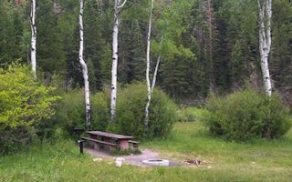
The campground contains one group campsite offering lake views. It can accommodate up to 50 people and eight vehicles. Several single-family sites are also available within the campground. Vault toilets and drinking water are provided, but there is no garbage service. Roads and parking spurs are gravel.Natural Features
The small reservoir sits in a scenic alpine basin. Spruce, fir and aspen trees dot the landscape, providing partial shade in the campground. Wildlife and summer wildflowers are abundant, and autumn leaves put on quite a show in the surrounding area.Nearby Attractions
Skyline Drive runs above the campground, along the top of the Wasatch Plateau for more than 60 miles, rewarding visitors with beautiful mountain scenery, glacial cirques, spruce-fir and aspen forests and numerous lakes and reservoirs.The expansive Arapeen OHV Trail System can be accessed nearby and has more than 350 miles of designated, maintained trails suitable for all riding levels.
Ferron Reservoir Reviews
Have you stayed here? Be the first to leave a review!
Top Spots in or near Sanpete County
Bouldering in Joe's Valley, UT
Orangeville, Utah
5.0
The bouldering in Joe's Valley has been a hot spot for climbers from all around the world. Discovered by Utah climbers decades ago it has turned into a mecca for anyone who loves sandstone bouldering. The texture of the rock is very grippy and after a long day can leave you with little skin left on your fingers. Plan on having some of your best bouldering days here.The Valley consists of 3 p...
Climb at Maple Canyon
Fountain Green, UtahRegardless on whether you're northbound / southbound, jump on I-15 and take exit 225 in Nephi. Head east. Continue on this road (100 N) for 14 miles. Then, turn right on 400 S and after a 1/2 mile turn left onto West Side Road. This road will take you along a bunch of farmlands. After about 6 miles, turn right on Freedom road. Keep to your right, and you'll end up at the mouth of the canyon a f...
Maple Canyon Arch Loop
Fountain Green, Utah
2.78 mi
/ 1332 ft gain
If you’re a rock climber, you probably know all about Maple Canyon. It’s unique conglomerate walls attract climbers from all over the world. It’s a Mecca of sorts. The beautiful canyon contains some outstanding hiking as well and this adventure will give you a taste of the entire canyon.
The trailhead is located just south of Mount Nebo and is about a 1.5 hour drive from Salt Lake City. Exit I...
Camp at the Little Grand Canyon
Emery County, Utah
4.6
The Wedge and The Little Grand Canyon are located in Eastern Utah and despite their amazing beauty are relatively unknown and overlooked partly due to their close proximity to national parks like Arches and Canyonlands.
With it's massive size, The San Rafael Swell, where The Little Grand Canyon is located, is easily accessible from I-70, Orangeville, Huntington, Castledale, and the numerous oth...
Camp at The Wedge (East Side)
Emery County, UtahThe Wedge, which is also known as The Little Grand Canyon is located in the northern part of the San Rafael Swell. The closest town is Castle Dale, Utah, and most people drive past this part of the San Rafael Swell on their way to Moab, or other parts of the Swell.The views are remarkable. It's no reason its nickname is Little Grand Canyon. There are trails around the rim of the canyons, and pl...
Photographing Dutchman's Arch
Emery County, UtahDuchman's Arch is visible from I-70 but ask anyone about it and they will look at you with a blank face. It's a great medium sized sandstone arch but getting there takes time and patience driving down sandy, rutted out, washboard roads.To get to the arch, take exit 131 and turn east. Follow the frontage road until it turns to dirt. From here, follow the main road and follow the old and sun cha...
Camping and Lodging in Sanpete County
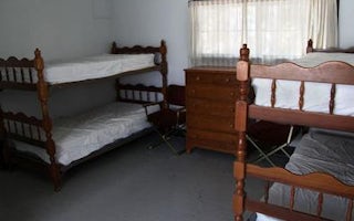
Sanpete County, Utah
Indian Creek Guard Station
Overview
Indian Creek Guard Station is located next to Ferron Reservoir, just below the Wasatch Plateau on the Manti-La Sal National Fore...
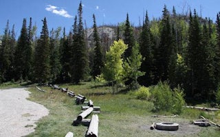
Sanpete County, Utah
Willow Lake
Overview
WIllow Lake Campground is located on the east shore of Willow Lake, at an elevation of 9,640 feet. The small lake sits in an alp...
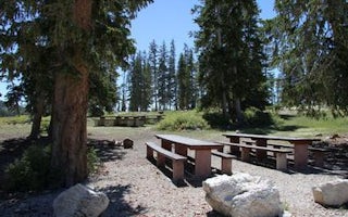
Sanpete County, Utah
Twelve Mile Flat
Overview
Twelve Mile Flat Campground is located beneath the shadow of Mt. Baldy near the top of the Wasatch Plateau in an open, wildflowe...
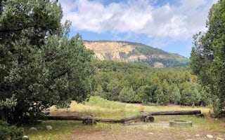
Mayfield, Utah
Twin Lake Campground
Overview
Twin Lake Campground rests in a juniper tree belt between the lower river bottom of Twelve Mile Canyon and the upper sub-alpine ...
Manti, Utah
Manti Community
Overview
Manti Community Campground is just 7 miles from Manti, Utah next to Yearns Reservoir at an elevation of 7,400 feet. Visitors enj...
Ephraim, Utah
Seely Creek Guard Station
Overview
Seely Creek Guard Station is located near the top of the Wasatch Plateau, within the Manti-La Sal National Forest in central Uta...
Unfortunately, we don't have up-to date pricing data for this listing, but you can check pricing through Recreation Gov.
Book NowAdd your business today to reach The Outbound's audience of adventurous travelers.
Community
© 2024 The Outbound Collective - Terms of Use - Privacy Policy


