Dolly Copp Picnic Pavilion
Book this listing through our partner Recreation Gov
About Dolly Copp Picnic Pavilion
Overview
Located along the Peabody River in the heart of the White Mountains, the Dolly Copp Picnic Pavilion is a wonderful location for a family reunion, wedding reception, or any large group gathering.Recreation
The Peabody River is a popular fishing destination and can be accessed from the Dolly Copp Picnic Pavilion. A large field directly in front of the Pavilion offers room for games and socializing. The Dolly Copp Campground, with over 170 campsites, is located conveniently across the river from the Picnic Area.Facilities
Originally constructed in 1936 by the Civilian Conservation Corps (CCC), the pavilion was reconstructed in 1996 using some of the original timbers and new timbers harvested from trees planted by the same 1936 CCC crew. The pavilion has eight accessible picnic tables, a large stone fireplace and a flag stone floor. Two charcoal grills are available next to the pavilion. The Dolly Copp Picnic Area has a dumpster, running water, and a flush toilet.Natural Features
The Dolly Copp Picnic Pavilion, located in the Dolly Copp Picnic Area, sits along the pristine waters of the Peabody River. Surrounded by forested land, visitors will enjoy exploring along the outskirts of the Picnic Area.Nearby Attractions
The Dolly Copp Picnic Area is about five miles south of the town of Gorham and 13 miles north of Jackson, New Hampshire. Attractions between the two towns include Wildcat Ski Area, the Mount Washington Auto Road, and the Appalachian Mountain Club's Pinkham Notch Visitor Center. White Mountain National Forest visitors can explore the Great Gulf Wilderness, hike to Tuckerman Ravine and Mount Washington, visit Glen Ellis Falls Scenic Area, or stop by the Androscoggin Ranger District Visitor Center by driving a only a few miles from the Picnic Area.Dolly Copp Picnic Pavilion Reviews
Have you stayed here? Be the first to leave a review!
Top Spots in or near Gorham
Hike the Imp Face Trail
Gorham, New Hampshire
6.1 mi
/ 2080 ft gain
Start a few miles north of the Joe Dodge Lodge and Pinkham Notch. If starting in Gorham, the trailhead is 6-8 miles south and will be on the east side of the road. Starting at about 1000 ft, hike in about 5 miles and 5 miles back to beginning. Two routes back, both about the same distance.Starting at the trailhead hike into the and continue on the trail until you reach the summit. There are no ...
Backpack to Osgood Tentsite and Hike Mount Madison
Gorham, New Hampshire
5.0
9.3 mi
/ 4521 ft gain
Begin at Great Gulf Trailhead (located on the west side of NH Route 16, about 1.5 mi. south of the junction with Dolly Copp Rd.) which offers a large fee for parking lot. Bring cash and pay at the self service pay station then display your receipt in car. Walk towards the back of the parking lot to begin the trail and cross over the suspension bridge. Starting at an elevation of 1350' continue ...
Snowshoe to Carter Notch Hut
Gorham, New Hampshire
7.8 mi
/ 2200 ft gain
The nineteen mile brook trail is a winding path up approximately 2200 feet of elevation over the course of 3.9 miles. That distance feels a lot farther when you are breaking trail in 18-24 inches of snow and you are carrying 35 lb packs on your backs. Luckily we started out early and we able to get up to the hut in the very early afternoon. Much of the trail follows along a river and after a f...
Drive Mt. Washington Auto Road
Jackson, New Hampshire
3.0
Starting at roughly 3,000ft above sea level the Mt. Washington Auto Road will take you up nearly eight miles of beautiful, scenic, and well maintained mountain auto roads to The Mount Washington Summit. The summit sits at 6,289 and offers stunning 360° views of New Hampshire's Presidential Range, and lakes region. Atop the summit sits the Mt. Washington Weather Station, the historic and world f...
Madison Spring Hut to Lake of the Clouds Hut via Gulfside Trail
Randolph, New Hampshire
5.0
6.76 mi
/ 2441 ft gain
Madison Spring Hut to Lake of the Clouds Hut via Gulfside Trail is a point-to-point trail that provides a good opportunity to view wildlife located near Randolph, New Hampshire.
Hike the Northern Presidentials
Randolph, New Hampshire
15.6 mi
The Presidential Range is a mountain range located in the White Mountains of New Hampshire. They contain the highest peaks of the Whites and are named after Presidents of the U.S.
I also want to add that this range is known for having some of the worst weather in America, mainly because of the unpredictability of high wind speeds and whiteout conditions on the higher summits. Always be prepare...
Camping and Lodging in Gorham
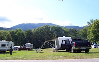
Gorham, New Hampshire
Dolly Copp
Overview
Located 6 miles south of Gorham, New Hampshire at the base of New England's tallest peak, the historic Dolly Copp Campground is ...
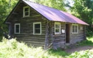
Jackson, New Hampshire
Black Mountain Cabin
Overview
Black Mountain Backcountry Cabin was built in the 1930s by the Civilian Conservation Corps and sits on what was once pasture lan...
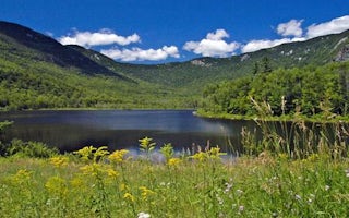
Chatham, New Hampshire
Basin Campground
Overview
Basin Campground is located in a rustic, remote part of White Mountain National Forest in New Hampshire, about 15 miles north of...
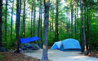
Chatham, New Hampshire
Cold River
Overview
Cold River Campground is located in a rustic, remote part of White Mountain National Forest in New Hampshire, about 15 miles nor...
Bethel, Maine
Hastings Campground
Overview
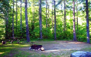
Hastings Campground is located on Route 113 near the shore of Evans Brook in western Maine. It is situated in a rustic and remot...
Jackson, New Hampshire
Doublehead Cabin
Overview
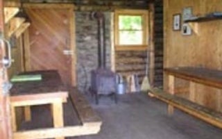
Doublehead Backcountry Cabin is accessible only by hiking, snowshoeing or skiing the 1.8-mile Doublehead Ski Trail. Guests shoul...
Unfortunately, we don't have up-to date pricing data for this listing, but you can check pricing through Recreation Gov.
Book NowAdd your business today to reach The Outbound's audience of adventurous travelers.
Community
© 2024 The Outbound Collective - Terms of Use - Privacy Policy


