Blackhawk
Book this listing through our partner Recreation Gov
About Blackhawk
Overview
Blackhawk Campground sits just off the Nebo Loop Scenic Byway at an elevation of 8,000 feet. Visitors enjoy the campground for its beautiful panoramic views and great trail opportunities.Recreation
Numerous hiking, biking and horseback riding trails crisscross the area, including Blackhawk and Loafer Mountain Trails. Trailheads for each are located within the campground.Facilities
This large, fully accessible campground contains a variety of campsites, including several group sites that can accommodate groups of up to 50 and 100 people each, equestrian sites and single and double-family sites.Loop E is made up of equestrian sites with corrals, hitching racks, water troughs and horseback riding trails.
Sites are equipped with picnic tables and campfire rings; larger sites also have serving tables and grills. Flush toilets and drinking water are provided. Firewood is available for purchase from the host. Roads and parking spurs are paved.
Natural Features
The campground is studded with groves of fir, pine, aspen and Gambel oak trees, which provide partial shade and nice fall color. Broad grassy meadows cover the areas around the trees. Summer wildflowers and wildlife are abundant.Nearby Attractions
The Payson Lakes Area is just 5 miles away, with rainbow and brown trout fishing, canoeing, swimming and picnicking.The Mount Nebo Wilderness Area is adjacent, brimming with beautiful mountain scenery, pristine waters, abundant wildlife, vibrant summer wildflowers and numerous trail opportunities.
The Nebo Loop Scenic Byway stretches 37 miles through high alpine terrain, dense forests and colorful meadows. Devil's Kitchen Geological Area can be found along the loop. It offers a 1/2-mile round-trip trail to interesting red rock hoodoos.
Blackhawk Reviews
Have you stayed here? Be the first to leave a review!
Top Spots in or near Fairview
Grotto Falls
Payson, Utah
4.0
0.54 mi
/ 144 ft gain
Heading in the canyon you will drive along a winding road for a while until you pass through a gate (Closed during Winter, this is where you will need to pull over and continue down the road on foot) about a mile up you will see a trailhead on the left called "Bennie Creek" and right after you will see the "Grotto Trail" sign on the left just up the road. You will see many mini trails branching...
Mount Nebo via North Rim Trail
Payson, Utah
4.5
8.6 mi
/ 2897 ft gain
Mount Nebo is the tallest of all the mountains in the Wasatch, and also one of the easiest to hike, due to the fact that the trail begins at an elevation of ~9300 ft. The parking area for the trailhead is along a short dirt road, which is precisely marked on the location map.
The trail itself is easy to follow. The dirt road leading to the trailhead is called Mona Pole Rd. The trail leaves the...
Visit the Flooded Thistle Ghost Town
18899-19003 U.S. Highway 89, Utah
3.0
Thistle, Utah was a small community located in Spanish Fork Canyon, founded in 1883. It flourished for a time as a ranching community and eventually became a major stop on the rail line that ran through it. This all changed in 1983 when a massive landslide dammed the Spanish Fork River and flooded the town. Now there are only a few structures remaining, and most can be seen from the road. Most ...
Andrew's Ridge to Mt. Nebo (South Peak)
Nephi, Utah
8.67 mi
/ 5400 ft gain
Andrew's Ridge to Mt. Nebo (South Peak) is an out-and-back trail where you may see wildflowers located near Nephi, Utah.
Burraston Ponds
Nephi, Utah
3.0
Pulling into Mona Reservoir and Burraston Ponds you will see some trees to hang up a hammock and have a relaxing afternoon and evening.
The bonus is that there's an awesome Mona Rope Swing, which makes this a great place to cool off during summer. Make sure to look up at night because the milky way will be incredible since you are far away from any light pollution.
To sum it up, Burraston Pon...
Rappel the Red Ledges
Springville, Utah
4.0
1 mi
/ 180 ft gain
This is a sweet spot to go rappelling near Spanish Fork, UT. It's located at the Red Ledges in Diamond Fork Canyon. There is a picnic area, grill and restrooms near the base. The unique formations are beautiful to hike around and fun to rappel down. The hike is pretty short, but steep. We did the hike several times so we could rappel down multiple times.Take I-15 to US-6 (Price/Manti) Exit ...
Camping and Lodging in Fairview
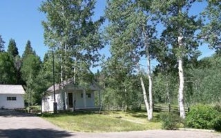
Payson, Utah
Payson Lakes Guard Station
Overview
Payson Lakes Guard Station is located in the Uinta National Forest, approximately 13 miles south of Payson, Utah, along the Moun...
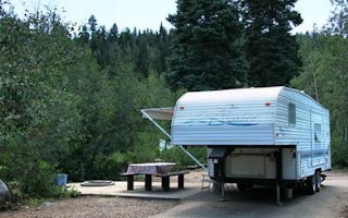
Salem, Utah
Payson Lakes
Overview
Payson Lakes Campground is a local favorite, located just 12 miles from Payson, Utah. Visitors love the campground for its great...
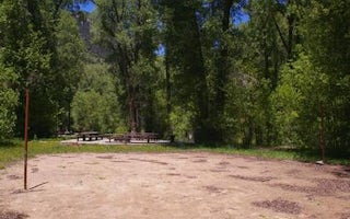
Payson, Utah
Tinney Flat
Overview
Tinney Flat Campground is located in scenic Santaquin Canyon, just 9 miles from town at an elevation of 7,000 feet. Visitors enj...
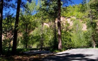
Nephi, Utah
Ponderosa Uinta
Overview
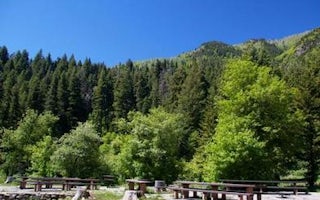
Ponderosa Campground is nestled in scenic Bear Canyon just off the Nebo Loop Scenic Byway at an elevation of 6,200 feet. Nephi, ...
Nephi, Utah
Bear Canyon
Overview
Bear Canyon Campground is situated on the boundary of the Mount Nebo Wilderness Area just off the Nebo Loop Scenic Byway at an e...
Spanish Fork, Utah
Diamond
Overview
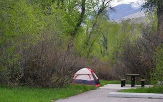
Diamond Campground is located among shady cottonwoods and willow at an elevation of 5,200 feet. The family sites are located jus...
Unfortunately, we don't have up-to date pricing data for this listing, but you can check pricing through Recreation Gov.
Book NowAdd your business today to reach The Outbound's audience of adventurous travelers.
Community
© 2024 The Outbound Collective - Terms of Use - Privacy Policy


