
5 Free Campsites In The Sierra
You don't always need to pay to have an amazing campsite.
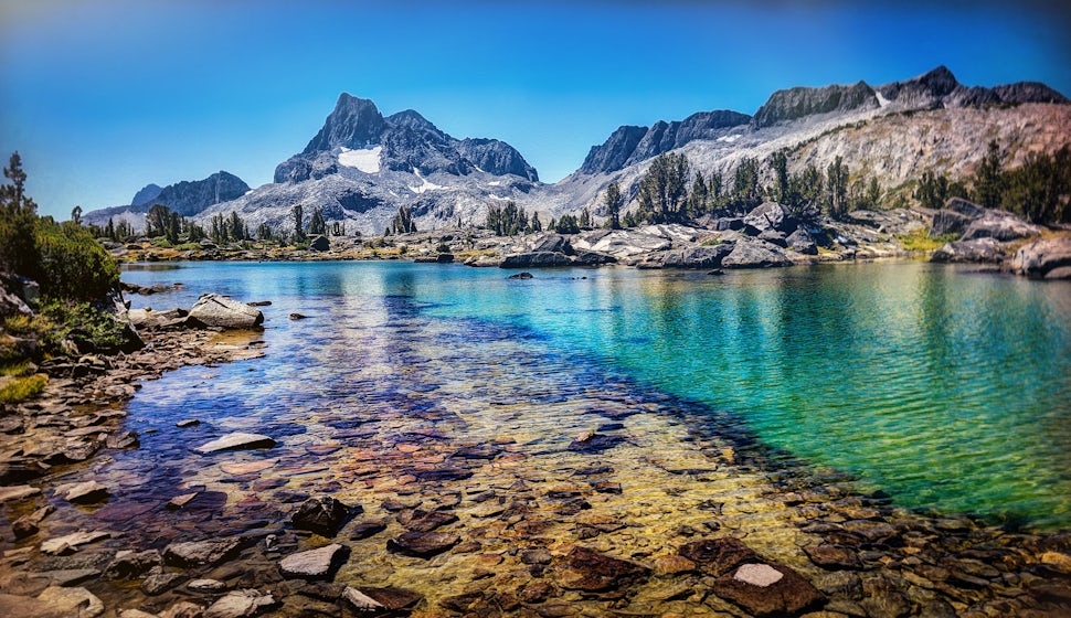
Summer is here and the mountains are calling. The Sierra Nevada of California are legendary for inspiring generations of naturalists, photographers and outdoorsmen. This summer, pack your bags, head west to take the opportunity to visit Yosemite, the Giant Sequoias and the tallest mountain in the Lower 48.
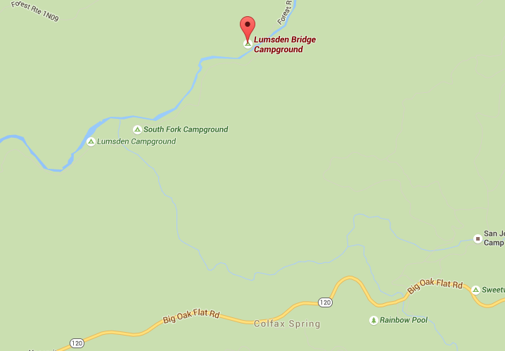
1. Lumsden Bridge Campground
Groveland, California
GPS: 37.848259, -120.03112
Elevation: 1616'
(209) 962-7825
Amenities: Vault Toilet, Water (River), Fire Rings, Picnic Tables
Description: Lumsden Bridge Campground is a low elevation campground surrounded by forests of pine and oak. A drive-in campground, the Lumsden Bridge Campground is located off the side of Forest Route 1N01. It is the third campground encountered along Forest Route 1N01, following Lumsden Campground and South Fork campground. The Tuolumne River provides access to untreated drinking water as well as fishing and boating.
Lumsden Bridge Campground is open year-round on a first come - first served basis.
Each campsite has a picnic table and a campfire pit with a grill. The campground also has a vault toilet for campers, but no Drinking water. Treating the river water before drinking is recommended.
Directions: While traveling along CA- 120/Main St. turn onto Ferretti Rd. Drive for about 1.1mi and take a right at the fork onto Forest Rte. 1N10. Drive another 6.6 miles until you reach Lumsden Bridge. Cross the bridge and turn left into the campground.
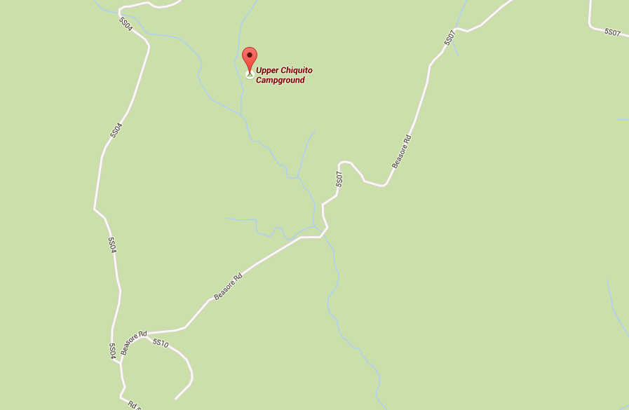
2. Upper Chiquito Campground
GPS: 37.502° N, 119.409° W
Elevation: 6956’
(559)877 2218
Amenities: Vault toilets, Picnic table, Fire ring, Water (creek - when running)
Description: This campground is tucked away in a tranquil section on the east fork of Chiquito Creek. 20 sites shaded by plenty of trees await both tent campers and medium sized RVs. Granite swim holes can be found nearby for those intrepid enough to brave the icy waters. Fall asleep next to the bubbling of the creek and get up early for breakfast of fresh caught rainbows.
Directions: Take Hwy 41 north from Fresno; continue thru Oakhurst to Road 222. Turn right on Road 222; travel approximately 5 miles to the Beasore Road, turn left and continue north on Beasore Road (5S07) approximately 15 miles, turn left at sign to campground.
3. Deadman Campground
Deadman Creek Road
June Lake, California
GPS: 37.720322, -119.009445
Elevation: 7796'
(760) 647-3044
Amenities: Vault toilet, Picnic table, Fire ring, Water (creek - when running)
Description: Deadman Campground is actually two campgrounds (Upper and Lower Deadman Campground) located across the road from one another. A total of 30 campsites are divided between the two campgrounds, surrounded by spectacular scenery reminiscent of California’s volcanic past. Campsites can accommodate RVs and trailers up to 45’. With supply services only a 20 minute drive away, Deadman Campground makes a great base camp to drive out to explore the areas around Mammoth or June Lake. Nearby, fish for trout in Deadman Creek and enjoy the secluded wilderness.
Directions: From US 395 north of Mammoth Lakes, go west on Deadman Creek Road (Rd 2S05). Continue for 2.8 miles until you reach Upper Deadman Campground on your right and Lower Deadman Campground on your left.

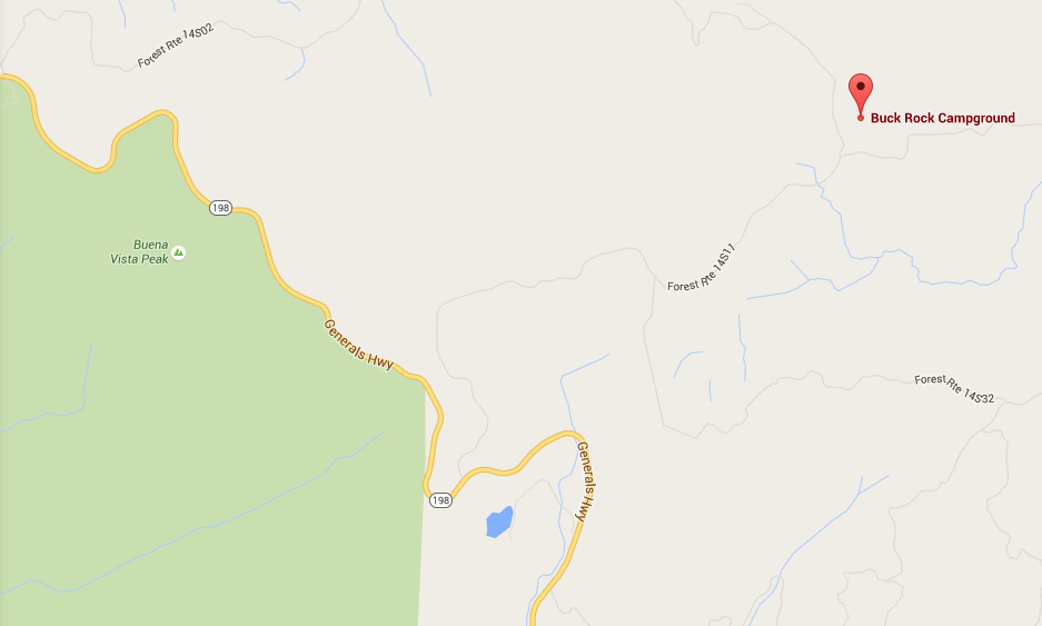
4. Buck Rock Campground
Giant Sequoia National Monument
Elevation: 7719’
GPS: 36.723° N, 118.851° W
(559) 338-2251
Amenities: Fire Ring, Picnic Table, Vault toilet, Payphone, Water (creek - when running)
Description: Buck Rock campground has 5 campsites for campers to use. While the sites aren’t too big, they will accommodate RVs and trailers up to 16’. A popular base camp for adventurers trying to make a trip out to Buck Rock, this campground gets heavy traffic despite only having a couple sites. There’s a Big Meadow Creek is nearby, but not incredibly close to the campsites so you may want to consider packing in your own water.
Directions: From Grant Grove, go 7 miles southeast on Generals Highway. On Big Meadow Road (Forest Road 14S11) head east and drive 4 miles until you reach the campground
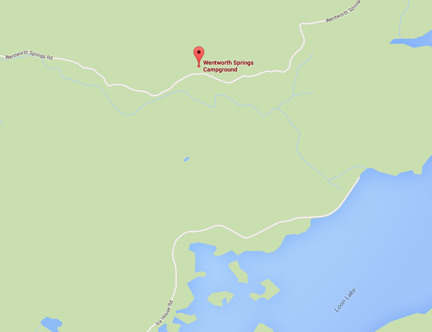
5. Wentworth Springs Campground
Elevation: 6,144’
GPS: 39.011° N, 120.324° W
530-647-5415
Amenities: Fire ring, Picnic Table, Vault toilets, Water (creek - when running)
Description: Rustic and wild, Wentworth Springs has everything you one could want from a wilderness getaway. This campground is remote and features 8 remote campsites nestled within a forest of pine. Gerle creek flows nearby for campers to filter drinking water. This campground is located along the popular Rubicon Jeep 4WD Trail so if you’re a fan of off-road driving, take a day to adventure along the route.
Directions: From South Lake Tahoe follow US-50 W to Ice House Rd for about 35 mi. Turn right onto Ice House Rd. Drive for about 33mi until you reach Wentworth Springs Campground. The road into the campground is rough. 4WD vehicles are recommended, although 2WD vehicles can make it if they have ample ground clearance.
Cover photo: Jeff Driscoll
Please respect the places you find on The Outbound.
Always practice Leave No Trace ethics on your adventures. Be aware of local regulations and don't damage these amazing places for the sake of a photograph. Learn More
We want to acknowledge and thank the past, present, and future generations of all Native Nations and Indigenous Peoples whose ancestral lands we travel, explore, and play on. Always practice Leave No Trace ethics on your adventures and follow local regulations. Please explore responsibly!
Do you love the outdoors?
Yep, us too. That's why we send you the best local adventures, stories, and expert advice, right to your inbox.


