Squamish-Lillooet, British Columbia
Top Spots in and near Squamish-Lillooet
-
Whistler, British Columbia
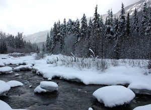
Snowshoeing is one of the best ways to experience true solitude in the beautiful snowy mountain landscape. The area surrounding the Cheakamus Crossing neighbourhood of Whistler has some of the very best low elevation snowshoeing in the valley.Riverside and Suspension Bridge Loop:A great 5km loop ...
Read more
-
Lillooet, British Columbia
Starting at the Lytton Cable Ferry the gravel road begins. You are immediately greeted with views of the iconic Fraser River and local mountains. After approximately 40 km on the road, you turn onto Texas Creek FSR and follow this for 7 km before turning onto Molybdenite Main. This road takes you...
Read more
-
Whistler, British Columbia
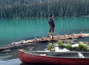
Cheakamus Lake is tucked in behind Whistler Mountain. If you've hike the Musical Bumps trail, or any of the paths off the peak of Whistler, chances are you saw a huge turquoise lake below you. This is Cheakamus Lake.From Whistler Village, drive south on HWY99 to the stop lights at Function Juncti...
Read more
-
Whistler, British Columbia
Start your drive by driving up the Cheakamus Lake forestry road to the parking lot (approximately 7km up the road). From the parking lot, start walking down the trail towards Cheakamus lake.
About 2km down the trail, you will see a sign post indicating that you can continue straight to Cheakamus...
Read more
-
Whistler, British Columbia
4.0
12.4 mi
/ 3000 ft gain
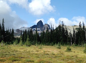
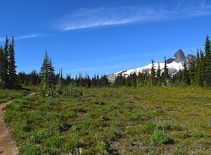
Helm Lake is a sparkly body of water tucked into one of the most scenic alpine meadows around. The lake sits on a lava field, just under the Black Tusk, with the unique volcanic remains of Cinder Cone and Helm Peak on the opposite side of the meadow.The big draw for this hike is that it's far les...
Read more
-
Whistler, British Columbia
Enter from the Cheakamus Lake side, which mean a steady climb up the Helm Creek Trail, but you won't battle the crowds coming up the Rubble Creek side. Plan for a full day in the mountains - it's ~25k total with quite a bit of climbing in the beginning. Bring lots of water, as it can get pretty h...
Read more
-
Whistler, British Columbia
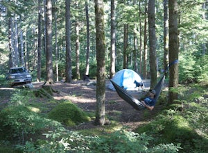
Where the beautiful Callaghan and Cheakamus Rivers converge, there is a great campsite aptly named after these two turquoise rivers. This is a quiet area, shaded by huge stands of West Coast forest, and easily accessible from HWY 99, about 20 minutes south of Whistler Village.Hiking and mountain ...
Read more
-
Whistler, British Columbia
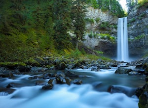
Brandywine Falls is a spectacular 70 metre waterfall. It is best seen from the viewpoint which also presents some marvelous views of Daisy Lake and the surrounding mountains. But you can also get to the bottom with a bit of scrambling down the side of the cliff.Brandywine Falls is located along t...
Read more
-
Whistler, British Columbia
4.8
17.17 mi
/ 5289 ft gain
Take the Sea to Sky Highway (HWY 99) north from Vancouver up towards Whistler. Turn off the highway about 30 minutes before Whistler Village onto Daisy Lake Road. There are signs along the highway indicating the Garibaldi Lake turn off. The trailhead is located at the end of Daisy Lake Road. Ther...
Read more
-
Whistler, British Columbia
Garibaldi Lake is a huge basin of beautiful turquoise water measuring almost 10 square kilometers (2460 acres), and located at nearly 5000ft above sea level. The lake is over 800 feet deep, filled with pristine glacial water. You’ll be surrounded by big snowy mountains, which remain bright white ...
Read more
-
Whistler, British Columbia
Exploring Garibaldi Park by snowshoe is an experience you'll never forget. There is nothing like being in a forest wilderness in the stillness of winter. There are lots of places to snowshoe in the Whistler area, but here are two of the most exciting (yes, snowshoeing can be exciting!) Cheakamus ...
Read more
-
Whistler, British Columbia
5.0
19 mi
/ 5708.7 ft gain
This is a very challenging trail! If you are going to carry in a backpack for an overnight hike, you should have a good level of fitness. For a day hike, the trail is nearly 30km long, so still a good level of fitness is required. The trail isn’t technically challenging, but it is up in the alpin...
Read more
-
Whistler, British Columbia
5.0
18.6 mi
/ 5700 ft gain
The Black Tusk is a distinctive landmark just south of Whistler (the remnants of an old volcano). There is nothing else like it, and it is visible from all over the Sea to Sky area.Depending on your experience and fitness level, you can either: climb right to the top of the Tusk (expert hiking/sc...
Read more

