Squamish-Lillooet D, British Columbia
Top Spots in and near Squamish-Lillooet D
-
Squamish, British Columbia
3.7
6.24 mi
/ 3714 ft gain
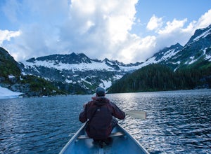
This adventure is one of the best kept secrets in the Whistler area, let alone, British Columbia. The trailhead for Lake Lovely Water is located on the west side of the Squamish River. There is no road access to the trailhead so you need to cross the river via boat. Make reservations with the jet...
Read more
-
North Vancouver, British Columbia
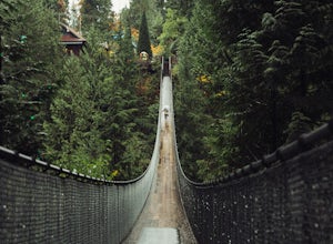
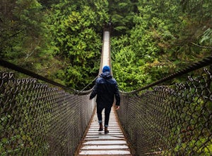
This is a great place to visit to get a feeling for the outdoors of Canada. The bridge is a little scary when a lot of people are walking across, but it is well worth the look.Measuring 140 m (460 ft) long, the bridge crosses over the Capilano River in the District of North Vancouver, British Col...
Read more
-
Squamish, British Columbia
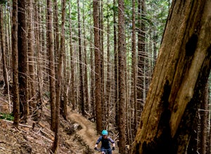
This is a big climb. Be warned. The easiest option is to drive past Quest University in Squamish up Mamquam Road to the Half Nelson trail exit (this is the second parking area up the road). From there, you can either ride up the road to the left, or take the legacy climbing trail until you get to...
Read more
-
North Vancouver, British Columbia
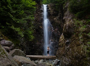
The trail starts in Lynn Headwaters Regional Park.
This is a fantastic day hike that give you just enough of a challenge but isn't too long. It's about 14km to the norvan waterfalls and back ( 7km each way) and it totally work the walk. There is very minimal gain on this hike.
The first bit of th...
Read more
-
Whistler, British Columbia
4.7
13.7 mi
/ 1968.5 ft gain
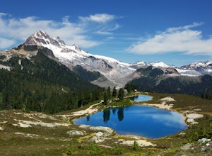
To access the trail head you will have to drive a few kilometres up a pretty beat up service road, so SUV's and 4x4 are a must but it can be done in a regular car if you take it easy. Lots of pot holes and loose rocks.The hike to Elfin Lakes might be 11km each way, but it is not very steep and is...
Read more
-
Whistler, British Columbia
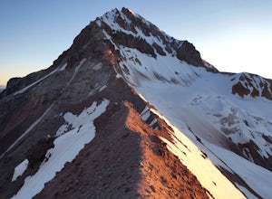
Given the total distance and cumulative elevation gain of this hike, I would suggest a good level of fitness to reach the summit. The trail does not have any technical challenges and the elevation gain is gradual. The final kick up to the summit involves some loose scree and minor exposure depend...
Read more
-
Whistler, British Columbia
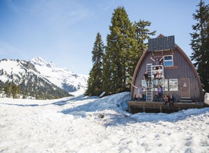
The cabin at Elfin Lakes is a beautiful well maintained shelter in the heart of the Garibaldi Provincial Park. It is nuzzled between two lakes (one for drinking water, and the other a swimming hole), and the Gargoyle Peaks.
The cabin itself is fully stocked with 8 gas burners, tables, a fireplac...
Read more
-
Vancouver, British Columbia
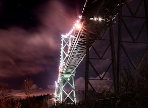
Park at the parking lot at Prospect point in Stanley Park to begin your photography adventure. The first photo opp is from the walkway on the Lions Gate, at about the middle of the bridge and looking to the left towards the Seawall. This is the perfect sunset spot.Once it gets dark, head to the b...
Read more
-
North Vancouver, British Columbia
Walk down Rice Lake Road, cross the bridge, and follow the pathway towards the park ranger buildings. Past the buildings you will find a gravel path going into the trees, which will take you towards a fence beside the trail. Continue on the path towards the lake, while the trees and moss along th...
Read more
-
North Vancouver, British Columbia
Head over to the Lower Seymour Conservation Reserve and hop on your two-wheeler to enjoy this stunning 20k ride.
Your ride will begin at the trailhead, where hikers walk off to rice lake. Stay off to the right, where there is an obvious bike path (2 paved lanes). This trail will take you ~11kms ...
Read more
-
North Vancouver, British Columbia
The Lynn Canyon Loop is a 5km trail that takes you up through the dense forest before looping back along the rushing water of the river.There are several trail systems throughout Lynn Headwaters Regional Park, that cater to every ability. Depending on what you're looking for, Lynn Canyon can prov...
Read more
-
North Vancouver, British Columbia
You'll see traction of all sorts in the Mt. Seymour area during Winter months, including: yak tracks, microspikes, crampons, snowshoes, skis (with and without skins), and my personal favourite, the magic carpet.The Mt. Seymour trail parallels the Seymour downhill ski area. It follows up and over...
Read more
-
Squamish, British Columbia
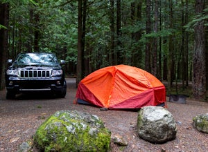
Alice Lake Provincial Park is located just North of Squamish. To get here, exit right off Highway 99 when coming from the South onto Alice Lake Rd. The campground is located under 5 minutes up the road and is first come first serve during low season. From late Spring to Early fall, make sure y...
Read more
-
North Vancouver, British Columbia
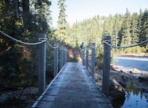
Lynn Canyon Suspension Bridge spans Lynn Canyon and is located near the popular Lynn Headwaters Park. To get there, exit the Trans Canada Highway onto Lynn Valley Road. Shortly after passing through the centre of the Lynn Valley community, turn right onto Peters Rd. This road will turn into "P...
Read more
-
Squamish-Lillooet D, British Columbia
5.0
8.9 mi
/ 2772.3 ft gain
The trailhead starts at an old service road and follows it for around 3 km until the trail turns left, off the old service road. Watch for flagging tape as this turn is often missed. Once off the service road, the trail immediately goes down and winds through a meadow with beautiful lakes and ama...
Read more
-
North Vancouver, British Columbia
The trail begins in the furthest northwest corner of the parking lot, by a big trail map. The start of the trail is gradual and meanders through the forest. The trail then begins to become more technical and requires scrambling over rocks and up areas with roots. Although this hike has minimal ga...
Read more

