Egmont, British Columbia
Top Spots in and near Egmont
-
Squamish-Lillooet, British Columbia
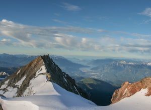
Climb Mt. Garibaldi
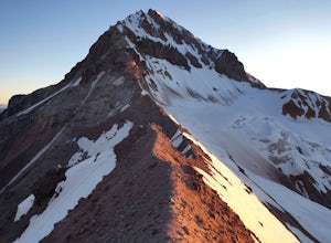
12.5 mi / 4350 ft gainDuration: 2 DaysClosed Gate (described below): 49.831834, -123.088424Camp Ground: 49.855926, -123.016797 Driving north from Vancouver along the Sea to Sky Highway (HWY 99) pass through Squamish. Turn right on to Cat Lake Road (Cheekye FSR).49°48’52.6”N 123°07’25.5”W From here the route becomes ...Read more -
Denman Island, British Columbia
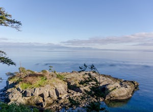
Hike through Boyle Point Provincial Park
5.02.2 mi / 115 ft gainBoyle Point Provincial Park is located on Denman Island British Columbia Canada. To get there you take the Denman Island Ferry from Buckley Bay off Hwy #19A on central Vancouver Island. Take the Buckley Bay exit #101 from Hwy #19A. Once on the island, follow Denman Road to the Hornby Island Ferry...Read more -
West Vancouver, British Columbia
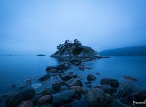
Explore WhyteCliff Park, West Vancouver
4.4Escape to the vanishing horizon of the Pacific Ocean, where time is measured by the rhythm of waves.Located near West Vancouver's Horseshoe Bay neighbourhood, Whytecliff Park is home to more than 200 marine animal species and is one of the first Marine Protected Areas in Canada. You're almost gua...Read more -
Whistler, British Columbia
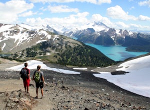
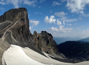
Summit Black Tusk in Garabaldi Provincial Park
5.019 mi / 5708.7 ft gainThis is a very challenging trail! If you are going to carry in a backpack for an overnight hike, you should have a good level of fitness. For a day hike, the trail is nearly 30km long, so still a good level of fitness is required. The trail isn’t technically challenging, but it is up in the alpin...Read more -
Whistler, British Columbia
Hike to the Black Tusk Lookout Point
5.018.6 mi / 5700 ft gainThe Black Tusk is a distinctive landmark just south of Whistler (the remnants of an old volcano). There is nothing else like it, and it is visible from all over the Sea to Sky area.Depending on your experience and fitness level, you can either: climb right to the top of the Tusk (expert hiking/sc...Read more -
Whistler, British Columbia
Panorama Ridge
4.817.17 mi / 5289 ft gainTake the Sea to Sky Highway (HWY 99) north from Vancouver up towards Whistler. Turn off the highway about 30 minutes before Whistler Village onto Daisy Lake Road. There are signs along the highway indicating the Garibaldi Lake turn off. The trailhead is located at the end of Daisy Lake Road. Ther...Read more -
Whistler, British Columbia
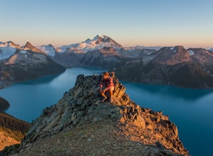
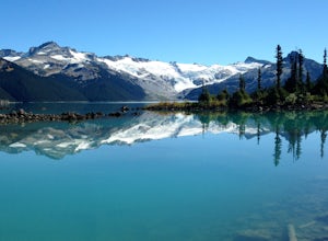
Hike and Camp at Garibaldi Lake
4.6Garibaldi Lake is a huge basin of beautiful turquoise water measuring almost 10 square kilometers (2460 acres), and located at nearly 5000ft above sea level. The lake is over 800 feet deep, filled with pristine glacial water. You’ll be surrounded by big snowy mountains, which remain bright white ...Read more -
Whistler, British Columbia
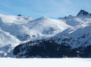
Explore Garibaldi Park on Snowshoes
Exploring Garibaldi Park by snowshoe is an experience you'll never forget. There is nothing like being in a forest wilderness in the stillness of winter. There are lots of places to snowshoe in the Whistler area, but here are two of the most exciting (yes, snowshoeing can be exciting!) Cheakamus ...Read more -
Squamish, British Columbia
Bike "Meadow of the Grizzly"
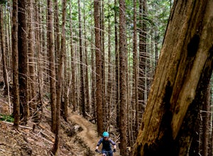
9.9 mi / 2834.6 ft gainThis is a big climb. Be warned. The easiest option is to drive past Quest University in Squamish up Mamquam Road to the Half Nelson trail exit (this is the second parking area up the road). From there, you can either ride up the road to the left, or take the legacy climbing trail until you get to...Read more -
Whistler, British Columbia
Hike to Elfin Lakes, BC
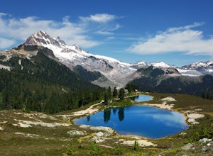
4.713.7 mi / 1968.5 ft gainTo access the trail head you will have to drive a few kilometres up a pretty beat up service road, so SUV's and 4x4 are a must but it can be done in a regular car if you take it easy. Lots of pot holes and loose rocks.The hike to Elfin Lakes might be 11km each way, but it is not very steep and is...Read more -
Whistler, British Columbia
Hike to Little Diamond Head
22 mi / 5900 ft gainGiven the total distance and cumulative elevation gain of this hike, I would suggest a good level of fitness to reach the summit. The trail does not have any technical challenges and the elevation gain is gradual. The final kick up to the summit involves some loose scree and minor exposure depend...Read more -
Whistler, British Columbia
Camp Out at Elfin Lakes Hut
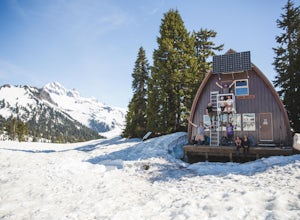
15 mi / 1900 ft gainThe cabin at Elfin Lakes is a beautiful well maintained shelter in the heart of the Garibaldi Provincial Park. It is nuzzled between two lakes (one for drinking water, and the other a swimming hole), and the Gargoyle Peaks. The cabin itself is fully stocked with 8 gas burners, tables, a fireplac...Read more -
Errington, British Columbia
Hike through Englishman River Falls Provincial Park
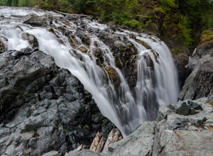
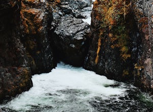
4.31.9 miThis is an easy 3 km or so hike that you can meander along and enjoy the lush greenery and the two waterfalls. The lower waterfalls is best viewed in the spring or winter. When summer comes the river gets lower and in turn that waterfall gets hard to see. Although, when the water levels are low y...Read more -
Errington, British Columbia
Hike to BC's Englishman River Falls
1.9 miSituated amid a quiet forest of both old and new growth Douglas firs, cedar, hemlock, and maple, the Englishman River Falls consist of two waterfalls which cascade into a deep canyon beneath a secluded bridge. Perfect for intermediate hikers, day-trippers, photographers and curious tourists, this...Read more -
Denman Island, British Columbia
Explore Fillongley Provincial Park
4.01.6 mi / 60 ft gainFillongley Park is located on Denman Island. To get there take the Denman Island Ferry from Buckley Bay, off Hwy #19A on central Vancouver Island. Take the Buckley Bay exit #101 from Hwy #19A. Once on the island, follow Denman Road to Swan Road. Turn left on Swan Road, then right on Beadnell Road...Read more -
Nanaimo, British Columbia
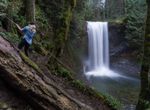
Hike to Ammonite Falls
4.82.69 mi / 558 ft gainThe falls cascades off of a sheet of rock that is filled with Ammonite fossils, thus the name Ammonite Falls! The trailhead is very distinct and has a parking lot close to the start of the trail. From the Nanaimo Parkway (#19) head onto Jingle Pot Road. Follow that for a few kilometres and turn ...Read more

