East Kootenay G, British Columbia
Top Spots in and near East Kootenay G
-
Improvement District No. 9, Alberta
4.0
3.7 mi
/ 196.9 ft gain
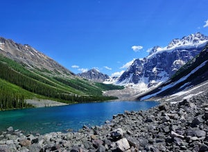
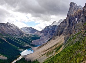
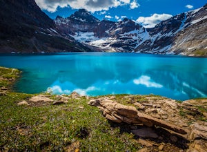
Once at Moraine Lake, the directions to Consolation Lakes are quite clear. From the parking lot, head northeast past the rockpile, which provides fantastic views of Moraine, then follow the Consolation Lakes Trail for another 2.9 km (1.8 miles) past Taylor Lake until you reach the lake. Depending...
Read more
-
Improvement District No. 9, Alberta
5.0
5.61 mi
/ 1909 ft gain
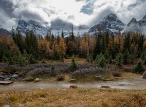
Starting at the Moraine Lake parking lot take, take the main trail the leads down past the cafe and lodges on the lake shore. A short way down the trail splits, to the left is just the lakeside walk. For Larch Valley take a right, it is clearly signed. Depending on the time of the year there are ...
Read more
-
Improvement District No. 9, Alberta
5.0
7.14 mi
/ 3917 ft gain
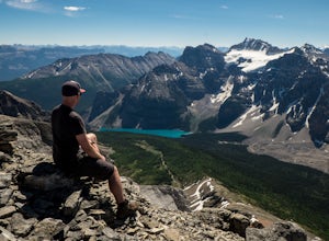
Take in stunning alpine views of the famous Valley of the Ten Peaks as you head to Eiffel Peak. A much more unique photo opportunity of Moraine Lake. Views of several prominent glaciers and the gorgeous Paradise Valley. The Eiffel Tower rock formation viewable from the summit. 11km roundtrip. 130...
Read more
-
Improvement District No. 9, Alberta
4.5
12.4 mi
/ 6430.4 ft gain
Mount Temple is a stunning iconic mountain in Banff National Park located in the Canadian Rockies. It overlooks the Lake Louise area and stands at a massive 3542m (11,624ft) , making it one of the many sought after 11,000ers.To reach the mountain you will be headed down highway #1 and take the tu...
Read more
-
Improvement District No. 9, Alberta
A true adventure with lots of route finding, glacier travel, loose rock and high altitude views. This is not for the faint hearted or first timers.From the Moraine Lake parking lot walk down the east side of the lake along the well maintained trail. Towards the end of the lake you will cross the ...
Read more
-
Improvement District No. 9, Alberta
Fairly short approach that begins to the left of Moraine Lake on the consolation lakes trail. Follow a foot path until you see a faint trail in the scree that moves up towards the tower-would recommend wearing a helmet on the approach. This is active grizzly country- It would be a good idea to ca...
Read more
-
Improvement District No. 9, Alberta
4.0
1.94 mi
/ 1726 ft gain
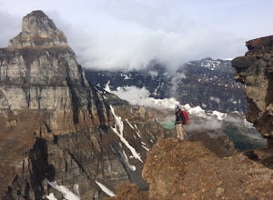
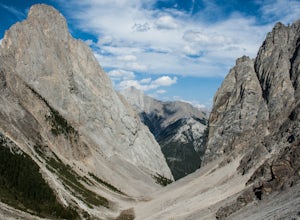
Starting at the Moraine Lake parking lot follow the trail East along behind the large pile of boulders along the lake shore. Once you reach the foot of the Tower of Babel scramble up the slope to heading towards the valley between the two peaks. The easiest route is along one of the cliff faces w...
Read more
-
Sawback, Alberta
From the parking lot head East for about 200m, to find the trail that heads North. The trail follows the riverbed for about 45 minutes and in parts is washed out. A piece of flagging tape and a downed tree that is used as a bench marks the point where the trail gets tougher.
At this point you wil...
Read more
-
Eldon, Alberta
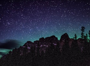
Castle mountain, so named for its fortress-like shape, is a quick hop away from the town of Banff.
If you don't have time to hike to Rockbound Lake (at the base of Castle), head to the viewpoint just off of Highway 91 and snap some pictures of this epic mountain. Drive north for about 10 minutes...
Read more
-
Improvement District No. 9, Alberta
4.0
9.3 mi
/ 3002 ft gain
Going west from Banff, take the first exit for Highway 1A (Bow Valley Parkway). Take the first right up to the fireside picnic area and begin your hike here.
The first 5kms of the hike climb uphill through the forest, making up most of the 915m elevation gain. Watch for trail markers over the ro...
Read more
-
Field, British Columbia
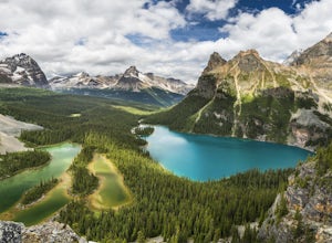
Hidden deep in the Canadian Rockies is Lake O'Hara, a diamond among the rough peaks. Ten minutes drive east of a small town called Field in British Columbia, or sixty minutes west of Banff, Alberta; is a small parking lot where the adventure begins. A $25 return, 30 minute bus ride from there tak...
Read more
-
Field, British Columbia
Located in Yoho National Park, Lake O'Hara is said to be the crown jewel of the Canadian Rockies (rightly so!). Callum Snape has described a bit of the process on what it takes to gain access to Lake O'Hara at this post here. Once you arrive at Lake O'Hara, either at the lodge or at the neighbori...
Read more
-
Field, British Columbia
3.0
16.2 mi
/ 1500 ft gain
Built in 1922 with the stones from the pass, the Abbot Pass Hut and has served both as a base for mountaineers and as a destination for strong hikers ever since. Sitting at 2,926 meters' elevation, it is second only to the Neil Colgan Hut on the list of highest permanent structures in Canada. The...
Read more
-
Field, British Columbia
The Lake O’Hara Alpine Circuit is short loop - but it's not for the faint-hearted. We walked Yuckness Ledges, which is a trail under a large cliff with incredible views over Lake O'Hara and the rest of Yoho National Park. The trail starts from the Lake O’Hara outlet bridge across from the Le Rela...
Read more
-
Field, British Columbia
Beginning at Lake O'Hara, head counter-clockwise around the lake - you'll get distracted by the reflections in the water if the water is calm enough, that's ok. You'll want to take the Opabin East route, but Opabin West will work too. Just remember to get on the east side at some point in time!Th...
Read more
-
Field, British Columbia
1.0
3.7 mi
/ 1310 ft gain
Views in the Lake O'Hara area are unique from the “sea of mountains” look that defines many excellent weekend hikes in the Rockies. With Odoray, Yukness, Huber, Wiwaxy, Schaffer, Biddle, and Lefroy in such close proximity to each other, it is easy to imagine you are in Pakistan, Nepal, or Argenti...
Read more

