Turner Valley, Alberta
Top Spots in and near Turner Valley
-
Turner Valley, Alberta
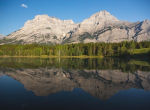
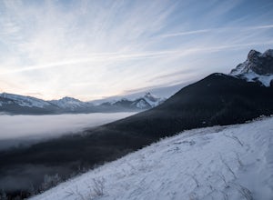
Photograph Wedge Pond
3.00.25 mi / 10 ft gainJust off Highway 1 in Kananaskis Country is a beautiful pond that makes for a wonderful spot to enjoy the first light on the Canadian Rockies. Bring warm clothes as this place can be especially cold. Don't forget a camera and a blanket. I recommend going for sunrise as this is when the lighting i...Read more -
Turner Valley, Alberta
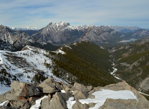
Hike Porcupine Ridge
5.9 mi / 2231 ft gainThis trail was really easy to find and follow, unfortunately that means the description will be short.Park your car at Porcupine Creek on Highway 40 and take off to the southeast! The path follows the creek and requires a couple of creek crossings on makeshift bridges, but once the creek forks yo...Read more -
Turner Valley, Alberta
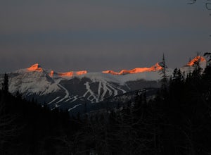
Snowshoe to Midnight Peak
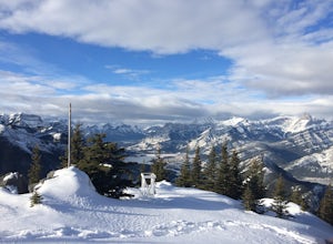
7.5 mi / 3120 ft gainWhen exploring, sometimes the best days are when you bite off a bit more than you can chew and push your limits. On a summer day without a cloud in the sky, Midnight Peak would be challenging, but in winter it's a difficult test to be attempted by the prepared and able.The trail to Midnight Peak ...Read more -
Turner Valley, Alberta
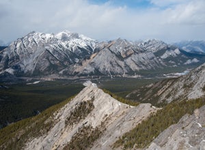
Scramble up to Wasootch Peak
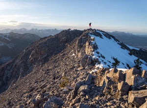
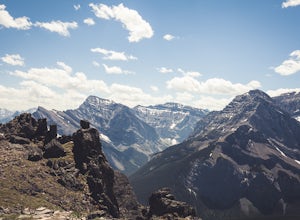
Wasootch Peak is for people who's inner scrambler is screaming to push on when they're on Wasootch Ridge. This description will be focusing on the trail to the summit from the main cairn on Wasootch Ridge. For an excellent description on how to get to that cairn, check out Hike to the Top of Waso...Read more -
Turner Valley, Alberta
Hike to the Top of the Wasootch Ridge
4.08.7 mi / 3280 ft gainThe start to this hike is located about 45 minutes west of Calgary and about the same East of Banff. Off the Trans Canada Highway take the highway 40 exit into Kananaskis and continue until you reach the Wasootch Creek area. There is ample parking, however during spring and summer months it can b...Read more -
Turner Valley, Alberta
Climb Wasootch Tower
Park at Wasootch Creek, Walk 2kms past the practice slabs5.7 Mixed- North RidgeFollowing the drainage on the right side that leads to the base of the esthetic tower. Then hike up the faint forested trail to the beginning of the climb.I found this to be a fun- easy scrambling route with quite a fe...Read more -
Kananaskis, Alberta
Hike up Galatea Creek to Lillian Lake
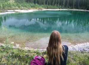
Located on Highway 40 (Kananaskis Trail) and marked by the "Galatea" sign, there's not much more to this hike other than putting one foot in front of the other, but the amount of traffic it sees is a testament to the quality of this hike.Even on the backend of winter the numerous shades of green ...Read more -
Kananaskis, Alberta
Hike to Lillian Lake and Galatea Lakes
2.09.3 mi / 3018.4 ft gainMake the trek down Hwy. 40 (about 33 km’s) to the trail head - Galatea Day Use Area. It’s very easy to find, as this is one of Kananaskis most popular day hikes. The trail leads into the forest, crossing a suspension bridge and a couple more bridges after that. Due to some flood damage, the bridg...Read more -
Kananaskis, Alberta
HIke to Barrier Lake Lookout
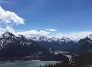
3.3From the parking lot, cross the dam, heading west onto the trail, with the lake on your left. Once you reach the forest, you will come to a 'Y' intersection, from which point you have two options:6.7 miles (10.8 km), 4 hours roundtrip, out-and-back For a shorter hike, go right at the 'Y' intersec...Read more -
Kananaskis, Alberta
Raft the Kananaskis River
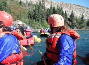
4.7The river is perfect for first time rafters and families, but the Kananaskis River also provides enough thrills for even a seasoned whitewater enthusiast. You will spend approximately 2 hours paddling, surfing and, if you feel brave enough, swimming in this glacial fed river! The section of rive...Read more -
Kananaskis, Alberta
Hike Alberta's Mount Baldy
4.0Rated as moderate to difficult due to scrambling sections. Estimated round trip is 4-5 hours depending on experience. From highway #1, the trailhead is located 13 kms South on highway 40. You will spot a small stream on your left with a small parking area for a few cars. The trail head is often m...Read more -
Kananaskis, Alberta
Memorial Lakes
9.9 mi / 2624.7 ft gainHistory Note: This hike commemorates 13 passengers of three different air crafts that went down in the region in 1986. The first was a passenger plane, and the second two were search and rescue aircraft. There is a plaque at the top of the hike to commemorate the lives that were lost. Take Hwy...Read more -
Kananaskis, Alberta
Winter Climb Mount Allan
5.08.7 mi / 4429.1 ft gainMount Allan is a 14 km hike that gains 1400 metres of elevation and was one of my favourite hikes when I first moved to Calgary. On a recent snowshoe, a couple I crossed paths with mentioned they had just done Mount Allan in December, so I knew I had to put it on my winter list!The trail begins a...Read more -
Kananaskis, Alberta
Ribbon Falls
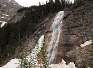
3.812.4 mi / 1148.3 ft gainRibbon Creek trail is accessible via Highway 40 at the turn off for Nakiska Mountain Resort. From there take a left at Centennial Drive and then a right onto Ribbon Creek Road. The hike begins at the far end of the Ribbon Creek Trailhead parking lot. There is an old coal mining cart at the start...Read more -
Kananaskis, Alberta
Hike Centennial Ridge
9.9 mi / 4592 ft gainThis hike can be done as a full traverse, starting at the Ribbon Creek Trailhead and taking you to Dead Man's Flats, just off of the Trans Canada Highway. Starting at the trailhead in the Ribbon Creek parking lot, go north on Hidden Trail. You will be on this trail for ~ 200 m before you need to ...Read more -
Kananaskis, Alberta
Hike the Prairie View - Jewel Pass Loop
5.09.3 mi / 2050.5 ft gainPark at the Barrier Lake day use area on Hwy. 40. Make your way across the dam heading west. Follow the main trail slightly north west into the trees and begin your ascent. Mostly long switchbacks with some sections getting a bit steeper near the top. As soon as you break through the trees, you'l...Read more

