Bragg Creek, Alberta
Top Spots in and near Bragg Creek
-
Kananaskis, Alberta
Hike up Galatea Creek to Lillian Lake
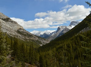
Located on Highway 40 (Kananaskis Trail) and marked by the "Galatea" sign, there's not much more to this hike other than putting one foot in front of the other, but the amount of traffic it sees is a testament to the quality of this hike.Even on the backend of winter the numerous shades of green ...Read more -
Kananaskis, Alberta
Hike to Lillian Lake and Galatea Lakes
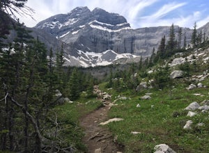
2.09.3 mi / 3018.4 ft gainMake the trek down Hwy. 40 (about 33 km’s) to the trail head - Galatea Day Use Area. It’s very easy to find, as this is one of Kananaskis most popular day hikes. The trail leads into the forest, crossing a suspension bridge and a couple more bridges after that. Due to some flood damage, the bridg...Read more -
Bighorn No. 8, Alberta
Hike through McGillivray Canyon
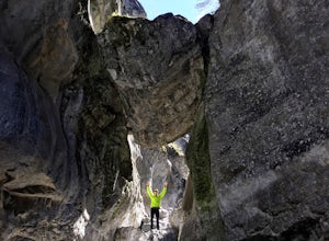
1.0Between Pigeon Mountain and Mount McGilliveray, pull off the road and slow down until you see a little dirt road turn off to the large parking area.Follow the trail heading south- don't take the transcanada trail- further up you will find another small trail that takes you to the creek bed. Follo...Read more -
Bighorn No. 8, Alberta
Climb McGillivray Slabs
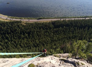
Morningside RouteLocated on the North side of Mount McGillivray5.7 Sport Route- 4 PitchesWalk off or RappelGetting there: Located across from Lac Des Arc. Theres a small gravel road turn off just before McGillivray Ponds- easy to miss! Then follow a small trail on the right side that leads up to ...Read more -
Kananaskis, Alberta
Hike Alberta's Grizzly Peak
4.0The trailhead is located on the north side of Ripple Creek, the first creek you come across after passing the Grizzly Creek turnoff. There is an easy pull-off on the east side of the highway. You should be able to see the trailhead from the road, which follows the southern slope of the mountain f...Read more -
Kananaskis, Alberta
Hike Opal Ridge's South Summit
5.0Opal Ridge is located on the East side of highway 40 in Kananaskis.The trailhead starts at Fortress Gas Station. Park at the North end of the parking lot. The trailhead is easy to spot from here. Follow the creek a couple hundred meters till you reach an open area with power lines. Turn left. Con...Read more -
Kananaskis, Alberta
Ice Climb at King Creek
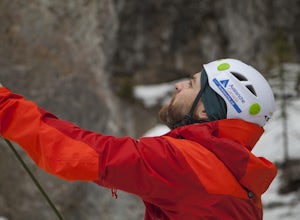
4.0Follow the defined path trailing roughly along the creek bed, a 20 minute hike from the car park. King Creek lies at the bottom of a gorge with steep rock walls on either side and a cascade of fat ice being forced out of the rocks. It's a gorgeous spot, showcasing the true beauty of Kananaskis.It...Read more -
51.064574,-115.203550
Hike Grotto Creek
3.7 mi / 410.1 ft gainThis is a great hike that could be a quick 2 hour sprint or stretch into a full day affair. The trailhead is located just off Highway 1A at a fishing pond with outhouses and ample parking. The trail is well signed and in a quick kilometre, hikers will be at the actual creek bed. In summer, hike...Read more -
Bighorn No. 8, Alberta
Icewalk in Grotto Canyon
3.5To get to the trailhead, take Highway 1 and take the Seebe exit (Highway 1X). Continue north on Highway 1X and take a left at Highway 1A. A few kilometres after the town of Exshaw, turn into the parking lot marked by the Grotto Pond sign.The trailhead is well marked and follow the trail until the...Read more -
Canmore, Alberta
Hike Pigeon Mountain
Important note: trail closure from December 1 - June 15th.Altitude: 2,394m (7,852 ft)Elevation gain: 990m (3,247 ft)Round trip: 6-6.5 hours (15 kms)Heading West from Calgary on Trans Canada Highway #1 - take the Dead Mans Flats overpass, and go South for 1 -1.5 kms until you reach a parking lot. ...Read more -
Kananaskis, Alberta
Hike to Grizzly Ridge near Highwood Pass
4.2 mi / 1840.6 ft gainThe hike starts at 2206 meters elevation Highwood Pass, and takes you through beautiful Pocaterra Cirque up to the peak of Grizzly ridge at 2767 meters, an impressive altitude to attain with only a 561 meter climb.Park at the parking lot at Highwood Pass, and follow the interpretive trail to a s...Read more -
Kananaskis, Alberta
Hike Ptarmigan Cirque
4.03.1 mi / 754.6 ft gainPtarmigan Cirque is a great beginner hike in Highwood Pass. Take Hwy. 40 approximately 50 km's from Hwy. 1. You will find the trail head at the Highwood Pass Day Use Area. This interpretive trail heads north along the road for about 100 meters and then crosses the highway. The trail is easy to na...Read more -
Kananaskis, Alberta
Scramble Mount Rae
4.0Mount Rae has given me the slip a couple times before, so I opted to take it on solo in the hopes of getting a successful attempt in. Damn, this is a good one.Park at the Highwood Pass parking lot, and start off on the Ptarmigan Cirque Trail. Forested until you get to the cirque, check beforehand...Read more -
Kananaskis, Alberta
Hike Pocaterra Ridge
4.09 mi / 650 ft gainDuring the fall I find the biggest treat is the changing of the larch trees and the beautiful contrast they provide against the landscape with their intense golden yellow colors. One of the best places to experience this is Pocaterra Ridge, located in the Highwood Pass of the Kananaskis region in...Read more -
Kananaskis, Alberta
Explore the Pocaterra Cirque
Start at the Pocaterra/Highwood pass parking lot. The pond is about 1.5km directly west from the parking lot, but the trail head is not always obvious, especially if there is snow. Keep an eye out for the flagging tape that marks the trail. Consider bringing snowshoes in November.This makes for ...Read more -
Kananaskis, Alberta
Snowshoe Mount Tyrwhitt
1.05.6 mi / 2132.5 ft gainDescribing snowshoeing trails is always a bit difficult, but luckily the way up Mount Tyrwhitt gets used heavily by people going to Pocaterra Cirque - first thing to remember is to take the first fork off the main trail to the left after you cross the bridge.Even if the trail is snow covered and ...Read more

