New South Wales
Top Spots in and near New South Wales
-
Waterfall, New South Wales
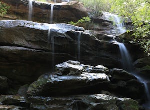
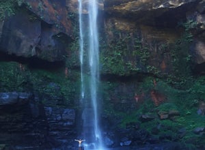
Hike to Uloola Falls
3.08.7 mi / 70 ft gainThe trail begins at the waterfall station commuter car park. Head down the small flight of stairs at the rear of the parking area to the forest where you will find a sign for the hike. Follow the path for 7 KM staying with the signs for Uloola Falls. The path is well cleared and marked. With a fe...Read more -
Kurnell, New South Wales
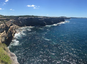
Hike the Cape Baily Coast Walk
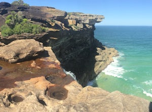
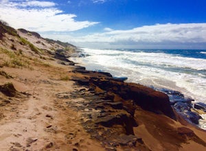
4.55 mi / 492.1 ft gainThis is a great hike if you enjoy heights and looking out on the ocean, as most of the hike takes you along white rocky cliffs on the edge of the park.Given the majority of the walk is exposed, please make sure to bring sun protection and lots of water.I've started the walk at the Cape Solander c...Read more -
Bundeena, New South Wales
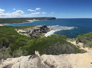
Hike the Coast Track from Bundeena to Wattamolla
5.014.9 mi / 1246.7 ft gainThis hike is a part of the 26km Coast Track in Royal National Park. Please note that you must purchase a parking permit from one of the visitors centres. Another option is to make this hike into a point-to-point and leave the second car at the Wattamolla day area.You can also get to Bundeena from...Read more -
Coalcliff, New South Wales
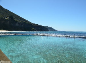
Coalcliff Rock Pools
Play around in this lovely seawater pool or get your goggles on and do some laps in this scenic pool. Safe and fun for all swimmers, it's also the perfect place to cool off and admire the Sea Cliff Bridge from below. Walk south along the rock platform (make sure the tide isn't too high) to find s...Read more -
Royal National Park, New South Wales
Hike Curra Moors Loop Track
5.06.2 miPlease note that a lot of the track is exposed, so make sure if it's a nice day to bring a hat and sun protection. If it's rainy, please be careful of the rocks and note that the trail can get boggy.At certain times of the year, you can see whales off the coast as the track follows their migrator...Read more -
Kanangra Walls Lookout, New South Wales
Catch the Sunrise at Kanangra Walls
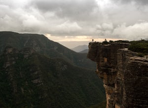
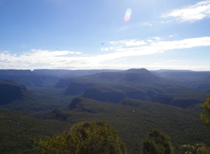
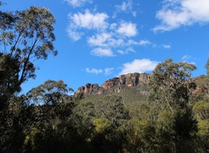
0.6 mi / 65.6 ft gainThe Drive Kanangra Walls is a 220km drive from Sydney. Expect to take 3 1/2 hours + add some time for a pit stop. The easiest way to navigate here is to use your GPS and head for Boyd River Campground. This will take you along the Great Western Highway through the Blue Mountains til you reach the...Read more -
35 Echo Point Road, New South Wales
Photograph the Three Sisters
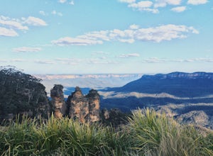
4.00.75 mi / 200 ft gainNo visit to Katoomba and the Blue Mountains would be complete without viewing the Three Sisters. There is a main viewing area at Echo Point, which offers amazing views of the rock formation and the surrounding valley, with the Blue Mountain's signature hazy blue tint. However, this area can get p...Read more -
Patonga, New South Wales
Warrah Lookout
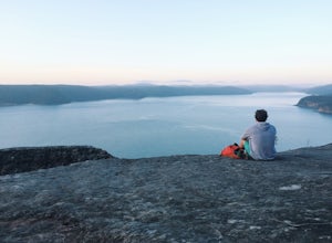
Drink your morning coffee with incredible panoramic views of the Pacific Ocean and Hawkesbury River. Drive to Patonga and from the end of the beach follow the trailhead signs to Pearl Beach. A steep incline for the first 10-15 minutes of the walk will get the legs burning. Once it starts to plate...Read more -
Yadboro, New South Wales
Hike Pigeonhouse Mountain (Didthul)
5.03.1 mi / 2624.7 ft gainFrom Milton, turn off Princes Highway, following signs marked ‘Pigeon House’ (this will take you along Croobyar Road, Woodstock Road and Yadboro Road). The walk begins in the picnic area off Yadboro Road.Best to walk in dry weather as trail is steep and there are ladders to climb, and the road to...Read more -
Blue Mountains National Park, New South Wales
Hike Perry's Lookdown to Govetts Leap Lookout
4.010.8 mi / 3608.9 ft gainStarting at Perry's Lookdown car park, the track takes you to a railed lookout, stop here and take in the magnificent Grose Valley infront of you and the Blue Gum Forest below you. The track descends down and contours around the hill, passing Dockers Lookout, the track is quite steep in places a...Read more -
Moollattoo, New South Wales
Canoe The Shoalhaven Gorge from the Tallowa Dam
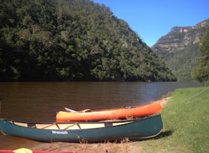
Even though the Shoalhaven Gorge is only about 120km from Sydney, it's a remarkable, rugged and remote adventure for those wanting a unique weekend away. Part of the Morton National Park, The Shoalhaven Gorge features stunning vaulting cliffs and remarkable pockets of rainforest that line the rug...Read more -
Esk, New South Wales
Camp at Black Rocks Campground
3.0This is a great place to explore - the beach is quite large and has some beautiful places to watch the waves or jump in. There are also lots of walks such as the 8km Jerusalem Creek Walk, which you can find instructions for in the link below: http://www.nationalparks.nsw.g... Make sure to book a...Read more -
Wildes Meadow, New South Wales
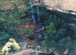
Swim at Belmore Falls
2 mi / 426.5 ft gainBelmore Falls is Plunge Type waterfall with three drops estimated at 77–130 metres. There is secret track that leads you down to the bottom of the water where you will be able to swim underneath the waterfall. Duration of walk to the bottom of the water is 40mins - 1hourRead more -
Violet Street, New South Wales
Explore Scenic World
1.5 miThe Katoomba area of the Blue Mountains is so packed with epic sights that it's difficult to see them all! Scenic World allows you to see many of these sights, such as Katoomba Falls, the Three Sisters, and walking on the forest floor in just a few hours. You also get the added experience of ridi...Read more -
Mount Victoria, New South Wales
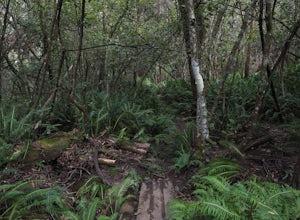
Hike the Fairy Bower/Cox's Cave Loop
3.1 miThis hike is around a 5 kilometre (3 miles) round trip, starting from fairy bower picnic area, the track follows beside a creek, and is slightly muddy after rain. On reaching the intersection turn right heading up hill through the grotto, an absolutely magical spot with many ferns and mosses. Upo...Read more -
Shoal Bay, New South Wales
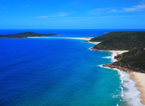
Climb Tomaree Head Summit
5.00.6 mi / 528.2 ft gainDriving through Shoal Bay along the water you will come to a car park at the end of the road. There is beach access to Zenith Beach and this is also where Mount Tomaree Head Summit walk begins. The walk starts off fairly easy and is paved or has metal stairways for the duration of the summit. Aft...Read more

