Australia
Looking for the best hiking in Australia? We've got you covered with the top trails, trips, hiking, backpacking, camping and more around Australia. The detailed guides, photos, and reviews are all submitted by the Outbound community.
Top Hiking Spots in and near Australia
-
Port Arthur, Tasmania
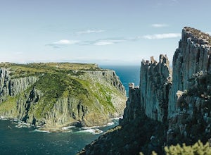
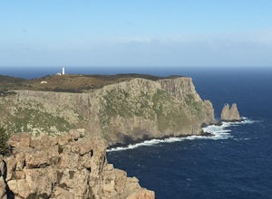
Hike to the Three Capes
29.8 mi / 1797.9 ft gainOne of the newer but extremely popular hiking spots located on the southeastern coast of Tasmania is the Three Capes Walk. This 48-kilometer track opened only three years ago but it already attracted numerous adventurous travelers who want to experience the beauty of unspoiled natural wonders. Th...Read more -
Flinders Ranges, South Australia
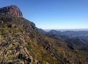
Hike St. Mary Peak
13 mi / 1968.5 ft gainThere are a two major options for reaching the summit of St. Mary Peak, including the opportunity to turn the assault into an overnight trek. The most direct path to the summit consists of a 19km out and back hike via the outside trail, while the longer option involves a 21km partial loop via th...Read more -
Bellfield, Victoria
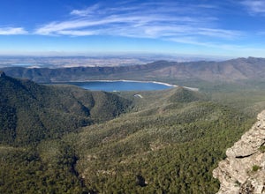
Hike to Mount Rosea
10.6 mi / 2395 ft gainThere are several different ways you can get to Mount Rosea, parking on either side of the Grampians Peaks Trail. As well, you can camp on either side (or create a longer backpacking circuit from Hall's Gap), staying at either Borough Huts or Bugiga Hikers Camp. Starting from Borough Huts, you c...Read more -
Glenisla, Victoria
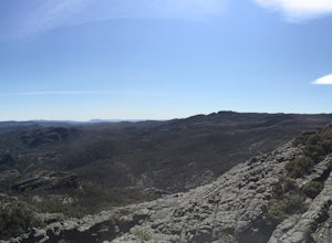
Backpack to The Fortress and Mt Thackeray
4.017.4 mi / 3937 ft gainIn the summer, this hike can be extremely dry, so make sure to bring lots of water. There are some creeks that offer water, but they can be mere trickles at certain times of year (as we found out!). The first day of the hike is 6km. To start, head to the south section of the car park and follow t...Read more -
Bell, New South Wales
Thor's Head, Asgard Swamp.
4 mi / 1000.7 ft gainThis track starts with a dirt road turn off of the Great Western Highway onto Victoria Falls Road, note: you will need a four wheel drive or capable car, nothing small. There is a beautiful lookout at the end of this road, but you want to pull over at the sign that says "Thor's Head, Asgard Swamp...Read more -
Tannum Sands, Queensland
Hike the Wild Cattle Walk
2.9 mi / 3.3 ft gainThis hike is super easy, practically no elevation gain. Drive to the end of Wild Cattle Creek Rd in Tannum Sands. At the end of the road there will be a large turn around and you will also find a boat ramp and the trail head to the right clearly marked. Also, make sure you do not use the boat tr...Read more -
Flinders Chase, South Australia
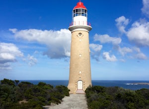
Hike around Cape du Couedic on Kangaroo Island
5.02.5 miThese walks allow you to see some of the most spectacular and famous portions of Flinders Chase National Park. The park is well-marked and informative of the different areas, making it very interesting to visit. Make sure to start at the visitors centre, which is on your way into the park, in ord...Read more -
Fortescue, Tasmania
Backpack Cape Pillar
5.018 miThis hike has recently been newly built with a spectacular wooden boardwalk winding in and out of the forest and along the cliffs. As with other hikes in Australia, please make sure to book your campsite prior to heading out! The Three Capes Track, a newly built four-day hike starting in Port Art...Read more -
Katoomba, New South Wales
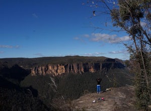
Hiking Narrow Neck Plateau
12.4 miWhere to start hiking Narrow Neck Plateau Narrow Neck Plateau is at Katoomba in the Blue Mountains. If you're driving, you'll head along Glenraphael Drive and park at the locked gate to begin your walk — from here, your walk will be about 20km return. If you're coming via train, you can make Kat...Read more -
Monga, New South Wales
Hike the Corn Trail in Monga NP
9.3 miI highly recommended you walk the trail from top to bottom, arranging to leave your vehicle or to be picked up from the bottom carpark on No Name Mountain Rd. (Its a killer walk the other way!) Allow a minimum of 5 - 6hrs depending on your fitness. There are 2 starting points for the Corn Trail, ...Read more -
Flinders Chase, South Australia
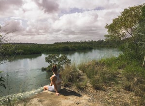
Hike Snake Lagoon
2.6 miThe hike starts at the Snake Lagoon parking lot (within Flinders Chase National Park). From the parking lot, proceed past the campsites to the trailhead. The trail winds down through a shaded, wooded area for about a kilometer before opening up at the river. Cross the river and follow it down tow...Read more -
Port Macquarie, New South Wales
Hike Port Macquarie's Rugged Coastline
2.5 mi / 129 ft gainSituated 550km from Brisbane and 385km from Sydney, Port Macquarie is a great spot to spend the night or a few days, and explore the New South Wales Mid North Coast. This stunning coastal hike can take you from Port Macquarie's Lighthouse Beach all the way into the centre of town, but for those n...Read more -
Kakadu, Northern Territory
Hike to the Ubirr Rock Art Sites
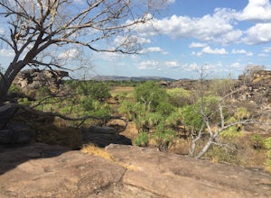
1.2 miKakadu National Park is one of my favourite places in Australia. Located several hundred kilometers east of Darwin in the Northern Territory, the park is 20,000 square kms of beautifully preserved wildlife and history. This part of the park is only open during the dry season, as large portions of...Read more -
Coffin Bay, South Australia
Hike the Yangie Bay Trail in Coffin Bay National Park
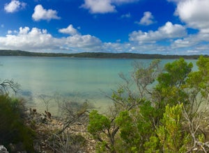
2 miThis hike is short, but there are tons of opportunities to take in beautiful views of the bay and we saw tons of kangaroos! It was close to dusk, so this is a time when they're typically quite active.The car park is past the campsite towards the bay itself. On the drive in, please note there are ...Read more -
Lenah Valley, Tasmania
Lenah Valley Circuit
4.3 mi / 2296.6 ft gainEasily accessible by car, the Lenah Valley Road carpark located a short 15 minute drive from Hobart's CBD is where the trail begins. Once arriving at the carpark, cross the small bridge and continue on the clearly defined track along the Main Fire Trail. Soon after a short climb you will come to ...Read more -
Cradle Mountain, Tasmania
Hike the iconic Overland Track
49.7 mi / 4773.6 ft gainThe Overland Track is a multi-day bushwalk located within the Cradle Mountain-Lake St Clair National Park that spans 80km from the Northern Trailhead at Ronny Creek to the Southern Trailhead at Cynthia Bay, located on the edge of Lake St Clair - Australia's deepest freshwater lake. Along the way ...Read more

