Henrieville, Utah
Looking for the best hiking in Henrieville? We've got you covered with the top trails, trips, hiking, backpacking, camping and more around Henrieville. The detailed guides, photos, and reviews are all submitted by the Outbound community.
Top Hiking Spots in and near Henrieville
-
Henrieville, Utah
Angel's Palace Trail
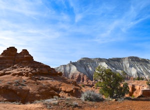
5.0Kodachrome Basin State Park is located about 9 miles south of Cannonville which is on Highway 12 - midway between Bryce Canyon National Park and Escalante Petrified Forest State Park. It is slightly out of the way, but well worth the detour.Angel's Palace Trail is an excellent option if you have ...Read more -
Kanab, Utah
Hike WIllis Creek Slot Canyon
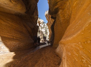
4.7Willis Creek Slot Canyon begins at the Willis Creek Trailhead, located in Grand Staircase Escalante National Monument. The trail is very easy to find and follow. It begins winding through junipers for several hundred feet before dropping gradually into a wash, at which point it meets up with Will...Read more -
Kanab, Utah
Bull Valley Gorge Trail
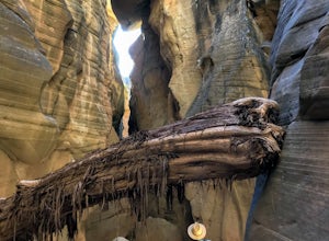
0.89 mi / 49 ft gainBull Valley Gorge Trail is an out-and-back trail that takes you by a river located near Cannonville, Utah.Read more -
Kane County, Utah
Hike to Grosvenor Arch
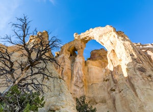
5.01.16 mi / 285 ft gainGrosvenor Arch is a sandstone double arch located in Grand Staircase-Escalante National Monument. The arch is named after Gilbert Hovey Grosvenor, a president of the National Geographic Society. To reach the arch, park in the trailhead parking lot off Last Chance Creek Road. The arches are vis...Read more -
Bryce, Utah
Hat Shop via Under the Rim Trail
5.03.99 mi / 1093 ft gainHat Shop via Under the Rim Trail is an out-and-back trail where you may see local wildlife located near Bryce, Utah.Read more -
Tropic, Utah
Under the Rim Trail to Swamp Canyon Camp
5.023.79 mi / 5794 ft gainThis trail is just about the only way I would see Bryce Canyon. When we initially drove in it was like we were at Disneyland, with crowds of people everywhere. We soon discovered, however, that very few people enter Bryce Canyon's backcountry. We chose to visit Bryce in July due to it's higher el...Read more -
Bryce, Utah
Hiking Bryce Canyon's Rim Trail
4.411.01 mi / 1342 ft gainThis popular hike in Bryce Canyon National Park offers up breathtaking views from just about every step. While it can be as long as 11 miles out and back from Fairyland Point to Bryce Point, multiple pull outs allow driving between the different points providing as long or short as a hike as you ...Read more -
Bryce, Utah
Navajo Loop Trail
5.01.53 mi / 525 ft gainNavajo Loop Trail is a loop trail that takes you past scenic surroundings located near Bryce, Utah.Read more -
Bryce, Utah
Navajo Loop and Queens Garden Trail
4.92.93 mi / 679 ft gainThere are many many trails that explore the hoodoos of Bryce Canyon and this is just one option of a combination of trails that is about 3.5 miles. The Navajo trail begins at Sunset Point and you head straight down dozens of switchbacks to what is called "Wall Street". It doesn't take long to get...Read more -
Bryce, Utah
Peek-a-Boo Loop in Bryce Canyon
4.54.98 mi / 1388 ft gainThis 5 mile hike begins at an elevation of 8000' at the Navajo Loop trailhead at Sunset Point. The view from the lookout of Sunset Point is only just a small taste of the sweeping vistas you will see on the hike. From Sunset Point follow the sign for the Navajo Trail and begin descending into a s...Read more -
Bryce, Utah
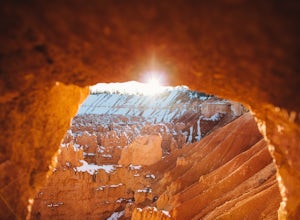
Winter Hike the Navajo-Queens Garden Loop
4.83 mi / 580 ft gainWinter is a wonderful time to visit Bryce Canyon because there is snow on the ground but the sun shines bright. I was able to get by with my waterproof hiking boots, a beanie, a thermal shirt and a down jacket. There were even a few points during the hike that I had to remove my jacket because th...Read more -
Bryce, Utah
Sunset Point to Sunrise Point
5.01.13 mi / 105 ft gainSunset Point to Sunrise Point Trail is an out-and-back trail where you may see local wildlife located near Bryce, Utah.Read more -
Tropic, Utah
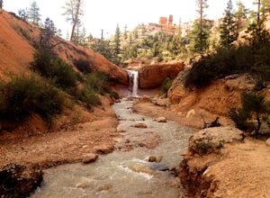
Hike Mossy Cave in Bryce Canyon
3.31 miThis short hike cannot be reached from the main area of Bryce Canyon, but with a 15 minute drive from the main entrance you can access this less crowded portion of the park. Check out a park map for the directions. This is very family-friendly, and is actually more of a "walk" than a "hike."It is...Read more -
Tropic, Utah
Hike the Tropic Ditch Trail
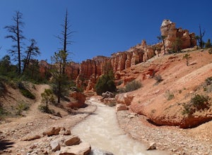
5.02 miFrom the Mossy Cave trailhead, follow the wide easy trail along the Tropic Ditch stream for .35 miles. At that point, the trail splits. To the left is Mossy Cave and to the right is Water Canyon Falls. The trail is lined with beautiful colored cliffs and hoodoos that Bryce Canyon is famous for. T...Read more -
Tropic, Utah
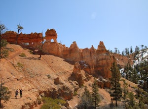
Mossy Cave Turret Arch and Little Windows Trail
5.01.06 mi / 341 ft gainMossy Cave Turret Arch and Little Windows Trail is an out-and-back trail that takes you by a waterfall located near Tropic, Utah.Read more -
Bryce, Utah
Wall Street Loop in Bryce Canyon
4.73.25 mi / 610 ft gainHoodoos? What's that you say? Hoodoos are these amazing rock formations that Bryce Canyon is famous for. This hike is hands down the best way to see the hoodoos of Bryce Canyon. This hike allows for stunning lookout points from the rim and the experience of hiking through the hoodoos of the cany...Read more

