South Carolina
Looking for the best hiking in South Carolina? We've got you covered with the top trails, trips, hiking, backpacking, camping and more around South Carolina. The detailed guides, photos, and reviews are all submitted by the Outbound community.
Top Hiking Spots in and near South Carolina
-
Greenville County, South Carolina
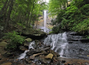
Hike to Rainbow Falls and Pretty Place
5.05.96 mi / 1844 ft gainJones Gap State Park in the Upstate of South Carolina is one of the most beautiful parks in the state offering a good range of moderate and challenging hiking and backpacking trails through the Mountain Bridge Wilderness Area. Jones Gap also provides superb primitive camping sites along the rocky...Read more -
Pickens, South Carolina
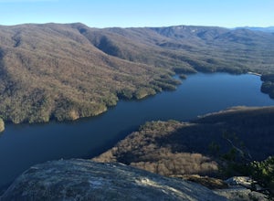
Hike to Table Rock Mountain
4.57.2 mi / 2433 ft gainWhile the Piedmont Foothills may sound deceptive, this is no easy trail. The first two miles of the Table Rock Trail take you soaring through the trees at a rapid pace. The trail is extremely well kept, but harsh and tough. A little before the two mile marker is a wooden shelter which is a great ...Read more -
Long Creek, South Carolina
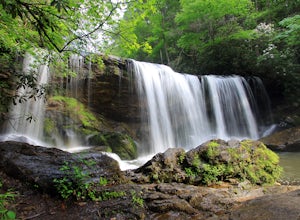
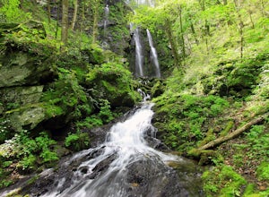
Hike to the Brasstown Falls
4.50.5 miThese waterfalls are absolutely beautiful during the summer greenery and fall foliage, but open to access year around.Driving Directions: From Westminister, follow US 76 West for 11.8 miles and turn left onto Brasstown Road. Follow this road 4.1 miles to FS 751. (The pavement ends in 2.6 miles.) ...Read more -
Saint Helena Island, South Carolina
Boneyard Beach
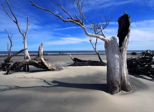
5.03 miThere are a few different access trails throughout the park and all are equally impressive with scenery and ease of hike but starting from the Hunting Island Campground take the beach access near the campground store and you have miles of boneyard beaches, dunes and groves of palmetto trees litte...Read more -
Pickens, South Carolina
Summit Sassafras Mountain
5.017.2 mi / 5041 ft gainPinnacle Trail begins by the Nature Center in Table Rock State Park. Keep left at the first three splits in the trail. You will make some creek crossings, gain elevation through the forest, and pass by Mills Creek Falls (25 ft). At Bald Rock Overlook, you can catch some nice views of Table Rock M...Read more -
Edisto Island, South Carolina
Explore Botany Bay
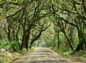
5.00.5 miLocated approximately 45 miles south of historic Charleston, SC, this 4,600-acre Plantation Heritage Preserve is on Edisto Island. Already when approaching the Botany Bay Plantation, you are astonished by the magnificent avenue of oaks which prompts many visitors to pull over and take a photo. Co...Read more -
Little Mountain, South Carolina
Take a Stroll on the Palmetto Trail across the Broad River Trestle
4.51 mi / 0 ft gainThe Palmetto Trail is a mountains-to-sea trail in South Carolina that will stretch 425 miles across the state when completed. Currently there are sections of the the trail that are complete and can be hiked or biked on. One of these sections is in the Midlands of SC and is called the Peak to Pros...Read more -
Awendaw, South Carolina
Explore Bulls Island
8 miBulls Island is located just 20 miles away from America's #1 small city - Charleston, South Carolina. However, Bulls Island isn't just for anyone, but those who want the chance to get away to an uninhabited island and a Class 1 Wilderness Area. The rewards include numerous kinds of wildlife, a lo...Read more -
Greenville, South Carolina
Hike Swamp Rabbit Trail to Reedy River Falls
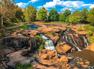
4.53 mi / 100 ft gainSwamp Rabbit Trail is a 21 mile-long paved walkway that closely follows the Reedy River in Downtown Greenville. Over a half-a-million people visit the trail each year, but few ever walk the whole thing. What most people don’t know, is that it begins on a different river: the Enoree river and wind...Read more -
Walhalla, South Carolina
Hike to Yellow Branch Falls
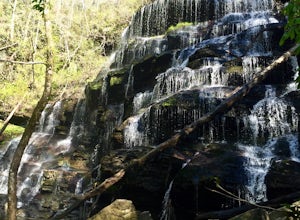
5.03 miOnce you have turned into the picnic area off of Highway SC 28, you will see the open and easy parking area. The trail begins at 2 points on the southern end of the parking area. These 2 points form a small loop about 0.2 miles long, with a spur in the middle of the loop onto the main yellow bran...Read more -
Tamassee, South Carolina
Hike to Lee Falls
4.01.6 miThe Hike: Head out through the middle of the first of three fields, crossing creeks two times as you come to them. At the end of the last field, the trail enters the woods. Hike through the woods for 0.3 mile and take the left fork, crossing a creek , and head toward the larger branch of Tamassee...Read more -
Greenville County, South Carolina
Hike the Jones Gap Loop
5.05.5 mi / 2000 ft gainStart on the Jones Gap Trail (blue), which will lead you alongside the Saluda River. After 2.5 miles, take the Old Springs Branch Trail (orange) to loop back to the lot.For a challenging, more strenuous hike, with great views of the Gap, check out Rim of the Gap Trail. It is not advised to take c...Read more -
Awendaw, South Carolina
Kayak Camp on Capers Island
4.08 miEnjoy a relaxing adventure by paddling to Capers Island for a day trip or overnight. Located across the Copahee Sound just North of Charleston, South Carolina, Capers Island is located on the Atlantic Ocean next to Dewees Island. If you don't have your own kayak, you can rent one from Nature Ad...Read more -
Hopkins, South Carolina
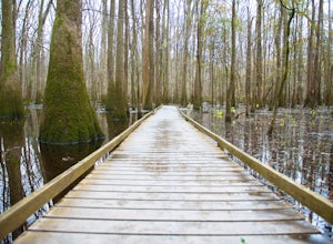
Boardwalk Loop
4.52.33 mi / 157 ft gainThe Boardwalk Loop begins at the Harry Hampton Visitor Center where you can get a Self-guided Boardwalk Tour brochure. There aren't any water refilling stations along this trail, so be sure to fill up your water bottles before you descend down an elevated platform that leads into the forest. Alon...Read more -
Cleveland, South Carolina
Caesars Head Overlook
5.00.27 mi / 144 ft gainThe Drive: Head North on SC Highway 11 "Cherokee Foothills Scenic Highway" towards Table Rock State Park. Follow SC 11 past Table Rock approximately 8 miles where it will merge with SC 8 at Pumpkin Town. Follow SC 8 for another 3-4 miles until you see the intersection for SC Highway 276 on the le...Read more -
Walhalla, South Carolina
Hike to Issaqueena Falls and Stumphouse Tunnel
4.01.5 mi / 250 ft gainFrom Walhalla South Carolina, follow SC 28 westward 7 miles until you see Stumphouse Tunnel Park on the right-hand side of the road. Take this road halfway down, and park in the parking area on the right. From here, you can travel a short walk to the falls overlook, or, for the more adventurous ...Read more

